2026 Walks
Wednesday 26 August 2026
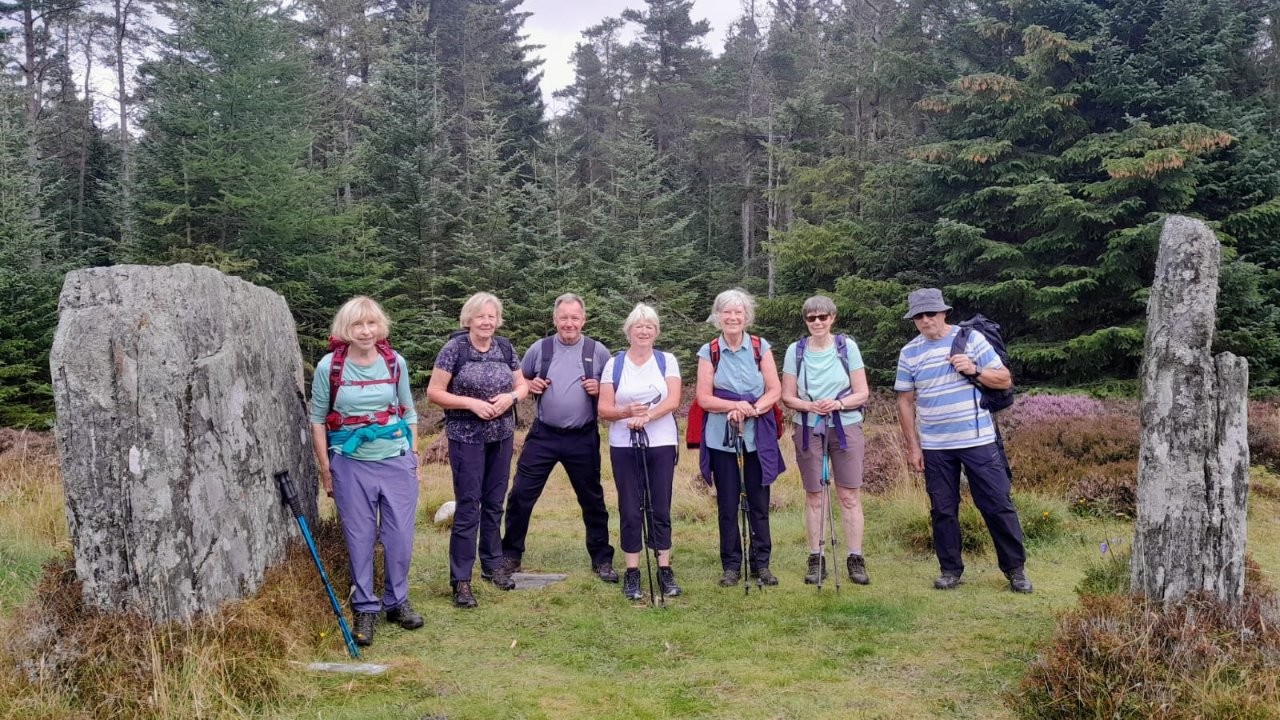
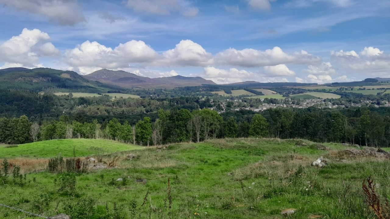
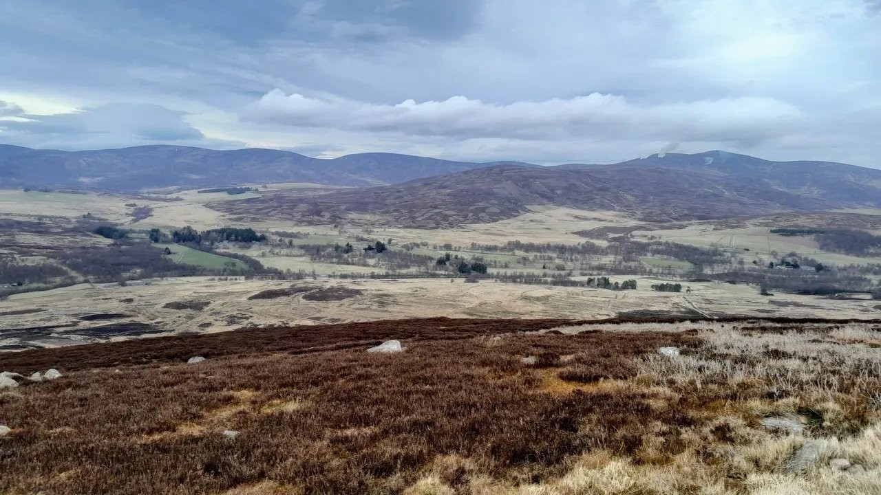
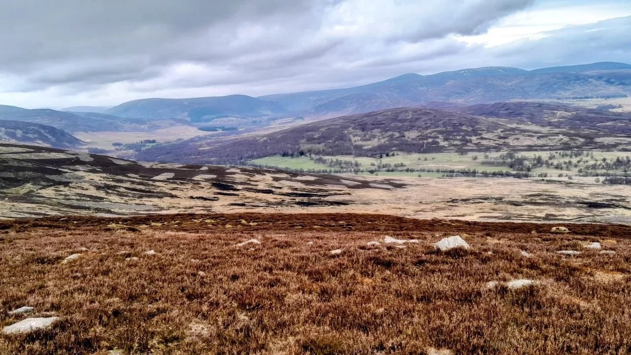
Pitlochry - Rob Roy Way/Clunie Wood (Linda S)
Walk starts from Pitlochry Festival Theatre car park. A fairly short walk,
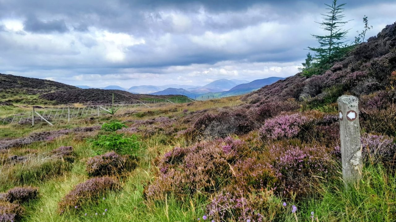
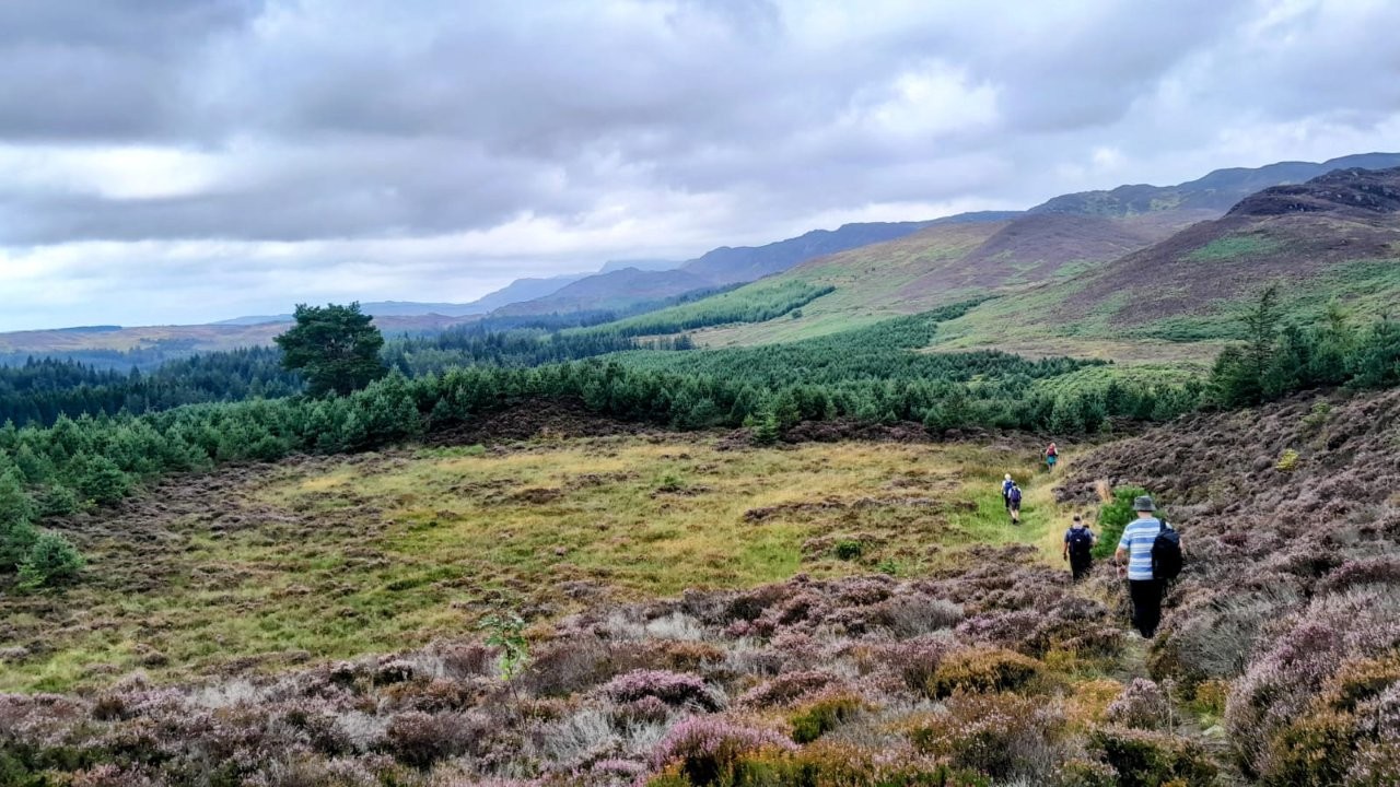
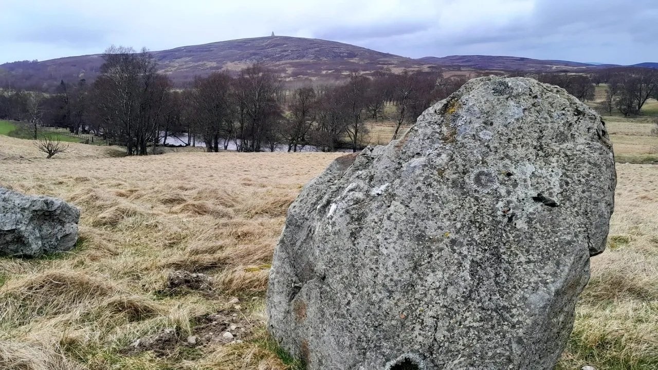
Walk a loop: cross A9, follow Rob Roy Way, climb west to the stone circle, NW to Creag a' Choire.
From Creag a'Choire - head NE to Clunie Wood and track which will rejoin the Rob Roy Way to return to car park.
Distance: approx. 11k/ 7 miles.
Ascent: approx 350m/ 1,150 ft.
SHORTER WALK:
First part of longer walk.
Rob Roy Way from car park, climb to Stone Circle.
From there return to car park by the same route. Then possible time to wander in Pitlochry.
REFRESHMENTS at Pitlochry Festival Theatre before leaving for home.
Poll/Vote to let us know who is coming on the walk.
Wednesday 19 August 2026
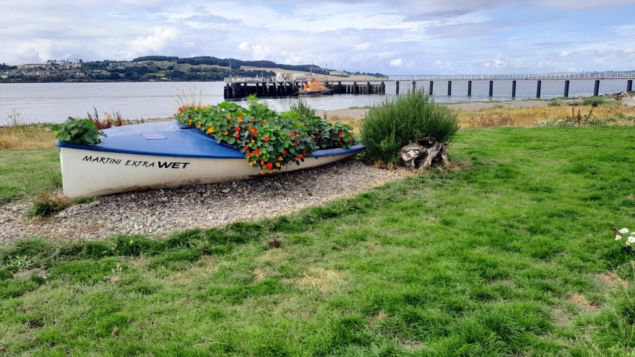
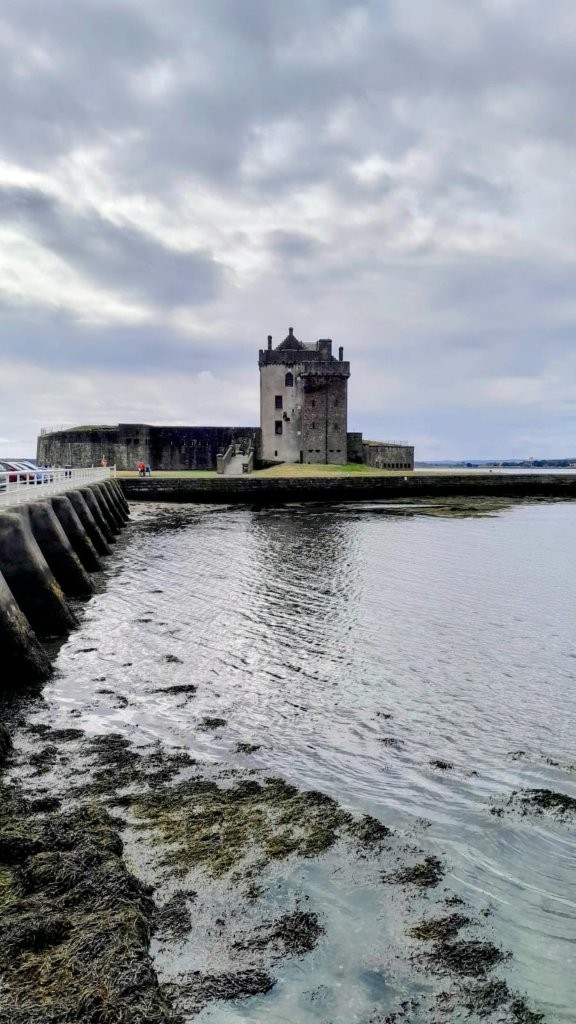
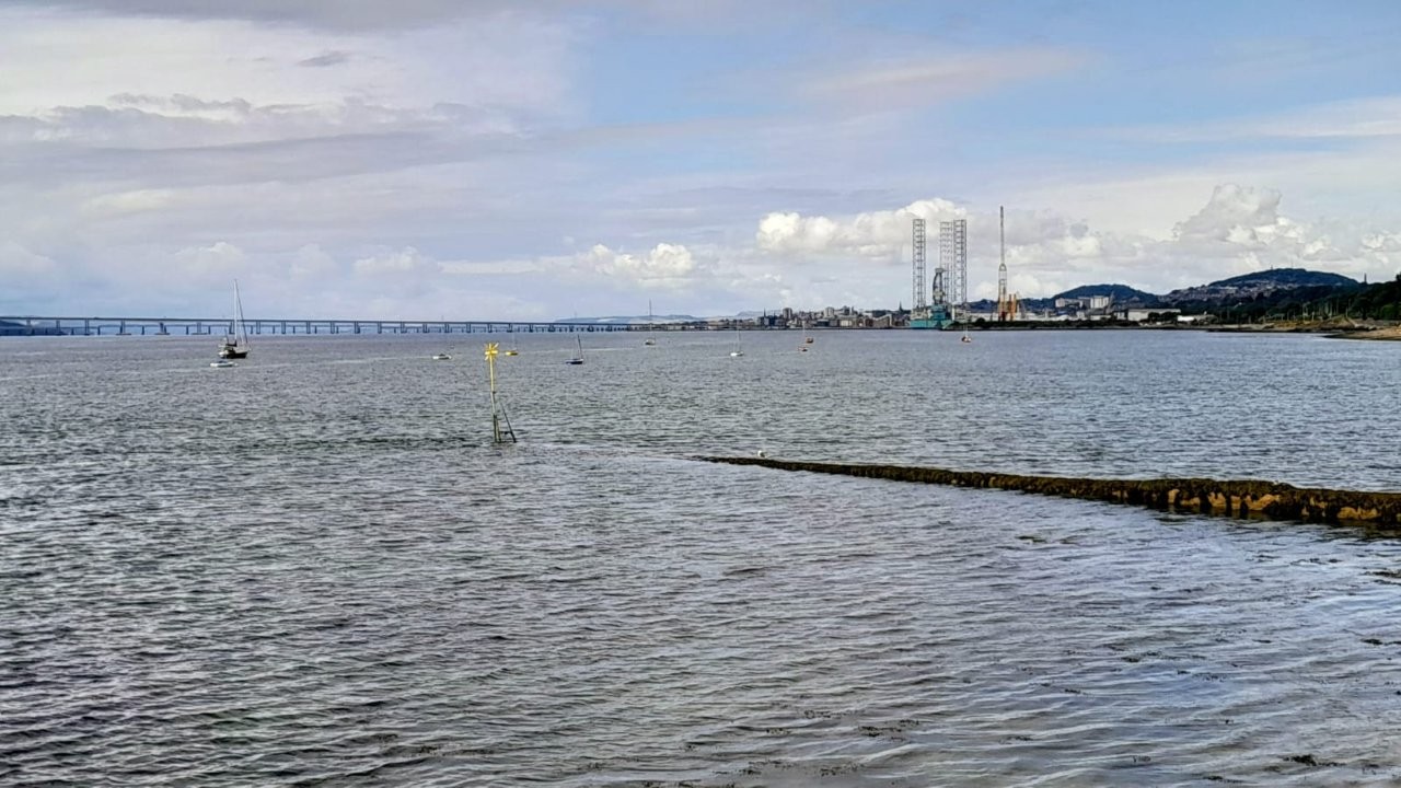
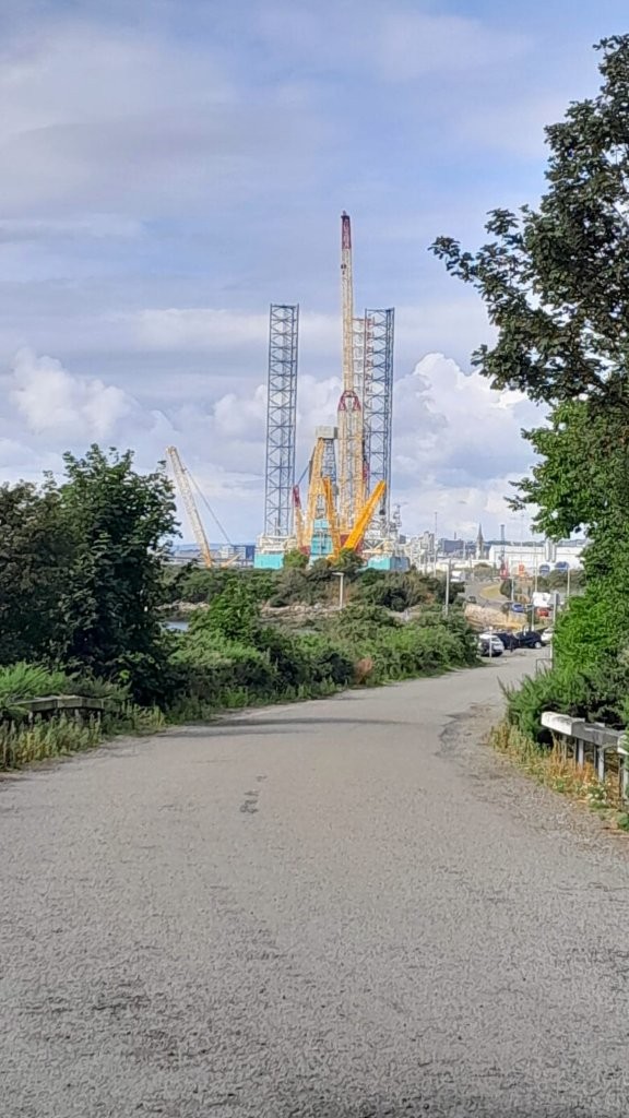
Broughty Ferry Circular (Mitch)
Rearranged walk
Meeting point: Barnhill Rock Garden (toilets).
What3words: pounds.shelter.sized. OS Grid Ref: NO 480 313.
Walk commences at 9.45am.
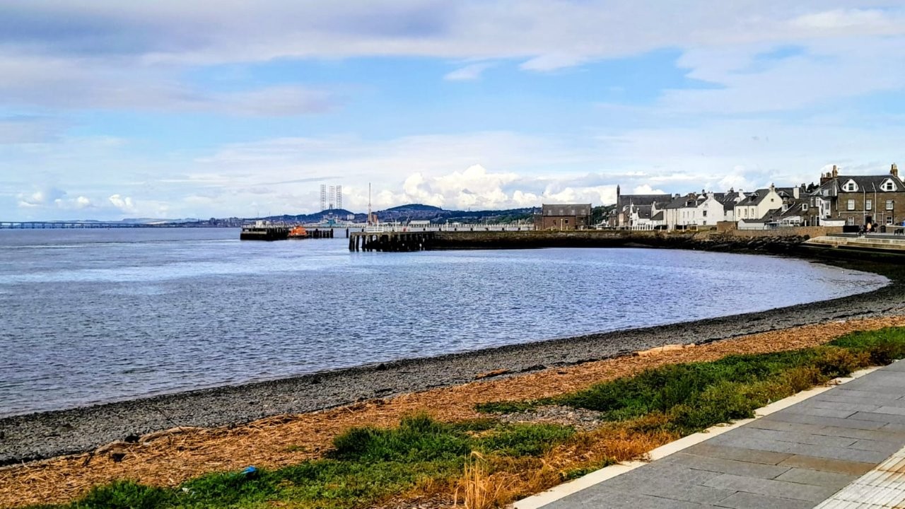
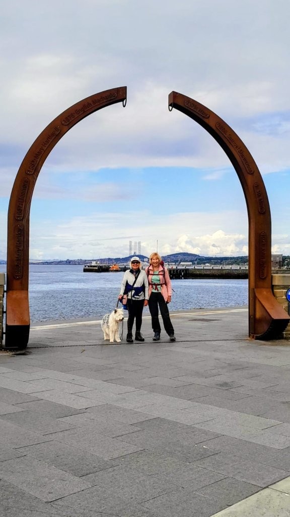
We head west to Broughty Ferry and continue along to the Stannergate, where we go across the railway bridge and head for Dawson Park. Then, after lunch,
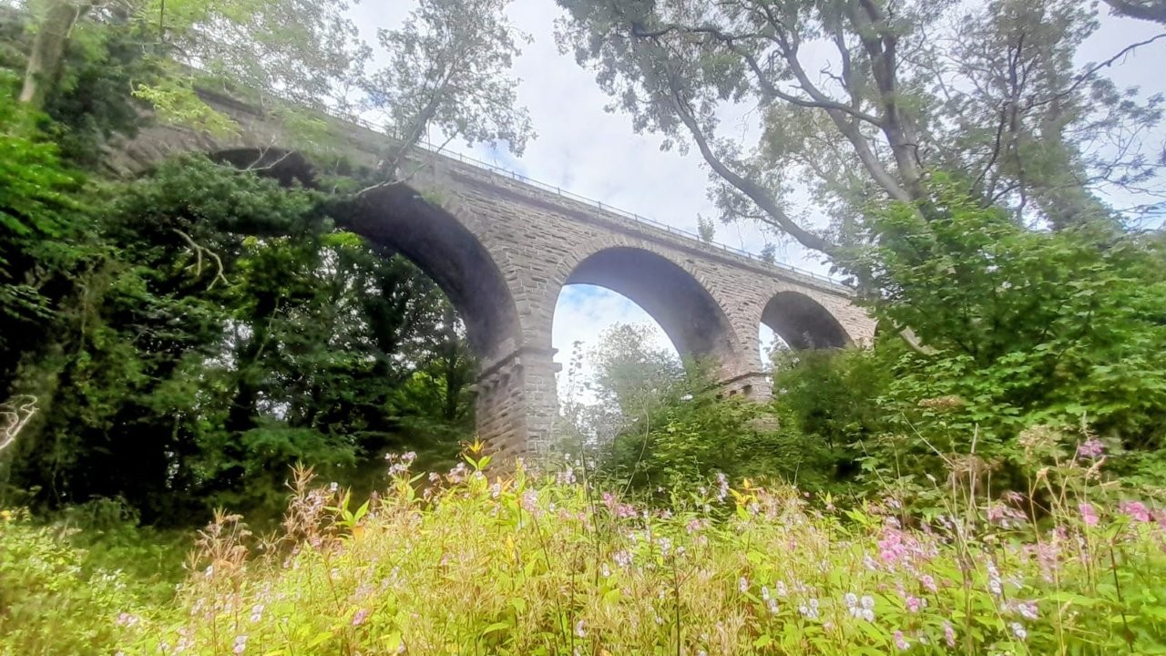
go to Claypotts Castle and head along the Arbroath Road cycle path until a R/T and return following the Dighty Burn under the 7 Arches. Approximately 8 miles
with an ascent of 200 feet.
----
Glen Esk walk was CANCELLED because of weather forecast
Meeting point: Invermark Car Park. What3words: method.crusted.producing.
OS Grid Ref: NO 446 830.
Just over 1 mile from Edzell mini roundabout turn left sign Glen Esk. Car Park is at the end of the Glen. Last public toilets at Tarfside 4 miles before Car park.
Note that the walk will start at the earlier time of 9.30
High walk: From the car park we head to Queens Well, the climb begins after we cross the ford at Easter Burn just past Glenmark Cottage, on Mounth Road
we take a right turn to Mount Keen summit, then return the same route. Approximately 11 miles with an ascent of 2,240 feet (681 m).
Low walk: (self guided) same as high walk to Queens Well then left following Water of Mark. Out and back approximately 6 miles with minimal ascent.
Alternatively, the same as high walk until you wish to return.
If you intend to join the walk, please register your attendance on the WhatsApp group on the evening prior to the walk.
Please monitor WhatsApp for any last-minute weather changes.

Wednesday 12 August 2026
Sidlaws from Balkello Woods (Shirley)
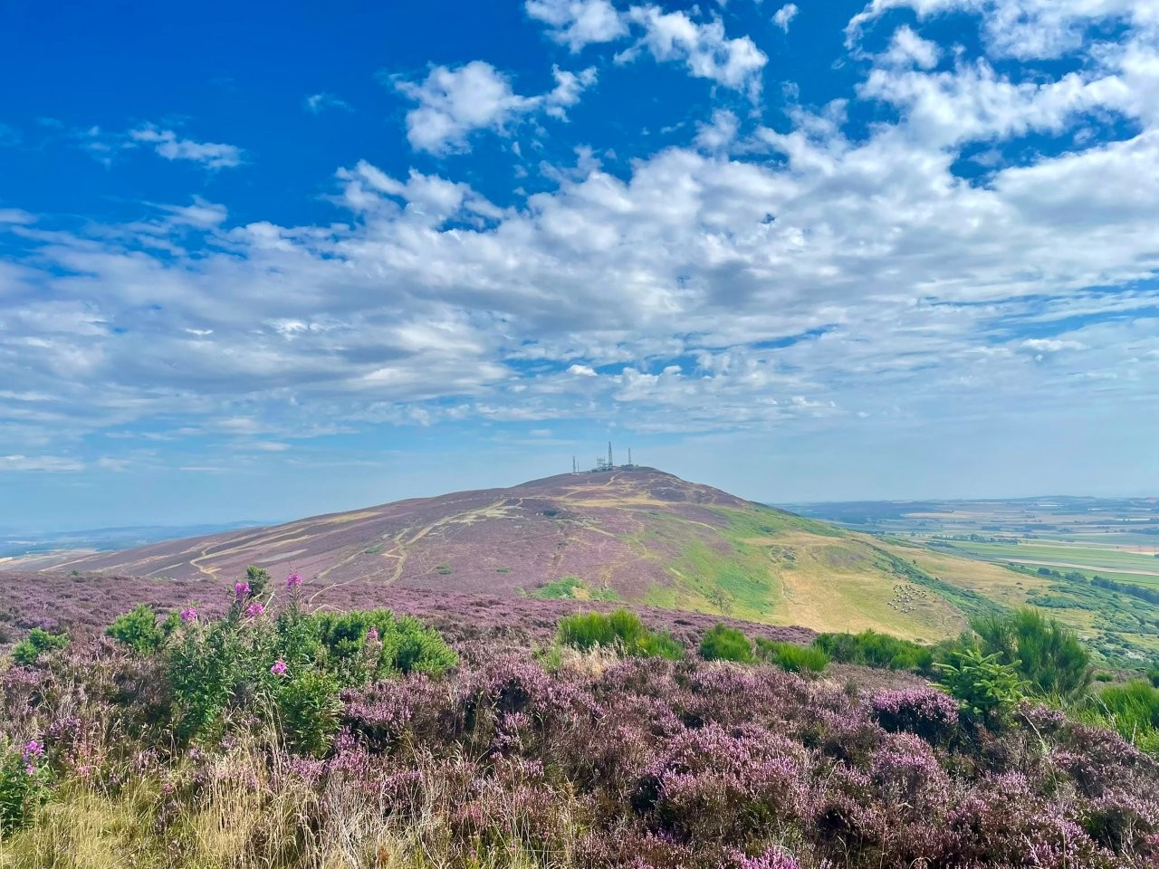
Walk includes Craigowl, Balkello and Auchterhouse hills. Approximately 6.5 miles, 1500 feet elevation gain.
Meet at the Balkello Community Woodland car park at 10am what3words: usage.copies.patrol
From the car park we will follow the path that heads north east between Balkello and Craigowl hill. Approximately half way up this path we will take
a smaller trail that leads to a small gate onto Craigowl hill. There were no livestock on the hill today (Saturday) but lots of hay bales so this
may change soon. After the gate a trail leads up the south west flank of Craigowl to reach a fence on the ridge. The summit is shortly beyond another
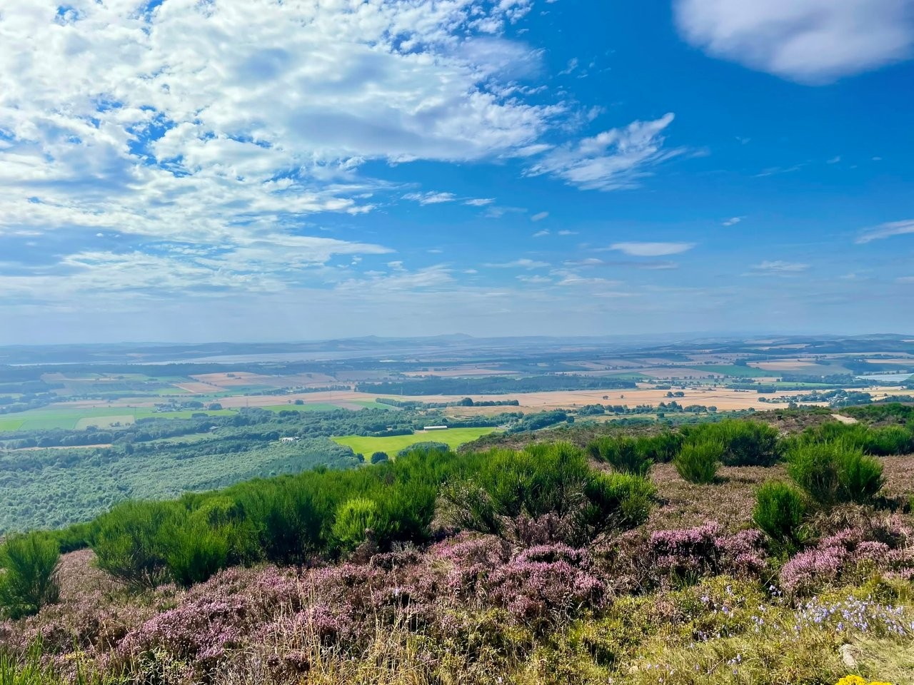
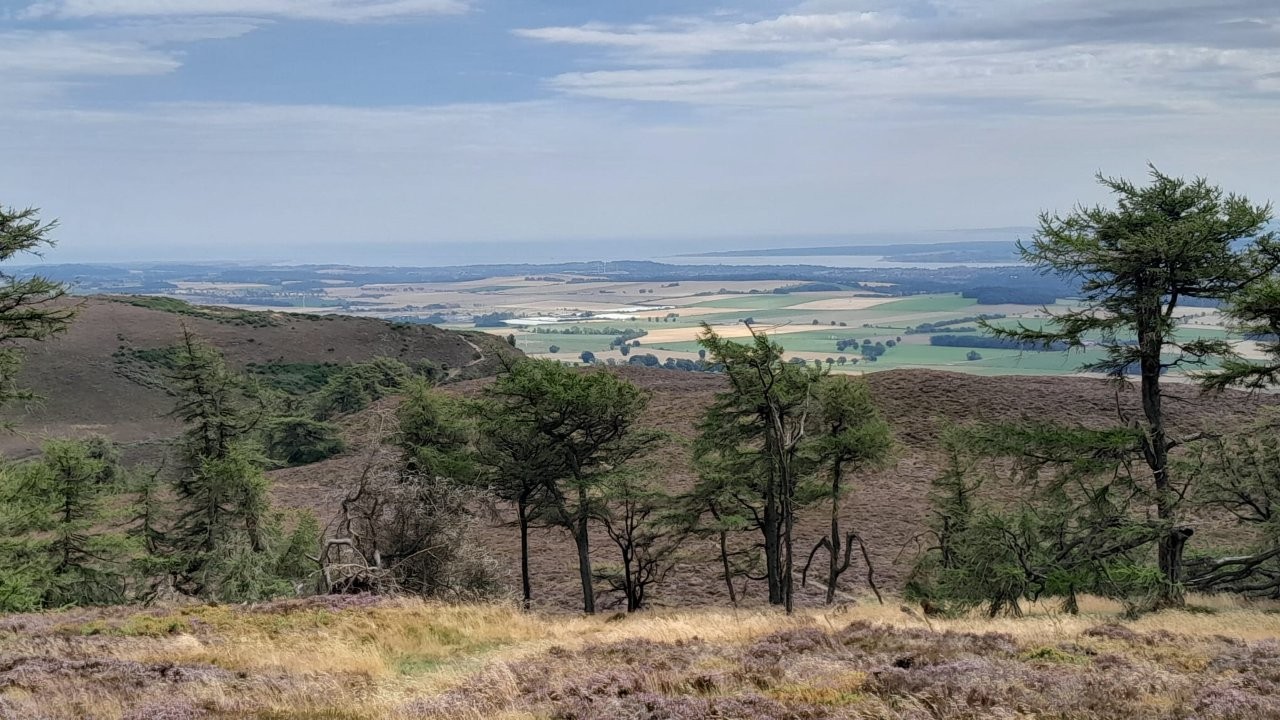
fence which we can cross via a stile. Despite all the communication masts at the summit there are lovely views over to the Lomond hills and towards
the North Sea. The trig point is situated over another fence which has a stile with quite a high step but it is also possible to slip through the wire fence.
From the trig point we circle back to the ridge via a path through the communication masts and after crossing yet another stile we descend
the trail heading west down the ridge. This leads to a steep but short ascent up Balkello hill which has the memorial cairn to Syd Scroggie at the summit.
We can stop here for lunch or continue west down to the gap between Balkello and Auchterhouse hill.
We then head north via a gate following an easy trail which joins another trail in approximately half a mile at which point we head west to drop
down to a small bridge over a stream. Another possible lunch spot. The trail continues up the other side and joins another trail where we turn left, south.
We follow this to a gate and continue beyond for a short distance before turning east up a small rocky trail to ascend Auchterhouse hill. Lovely views
again all round from the summit.
There are several trails leading down from Auchterhouse hill but we will take the one which heads east initially then curves west before descending south.
The path is a bit overgrown near the bottom but passable. To get back to the car park we drop down off this trail to pass through a gate to join the main path.
Weather forecast for Wednesday at the moment looks dry, sunny and possibly hot. So please bring sufficient fluids, sunscreen etc. There are options to make
the walk shorter and/or less hilly by retracing steps or following one of the many other trails back to the car park.
Suggest refreshments afterwards at Pine Cone Cafe what3words: ///camps.dumpling.paddle
Wednesday 5 August 2026
Tarfside, Glenesk (Val)
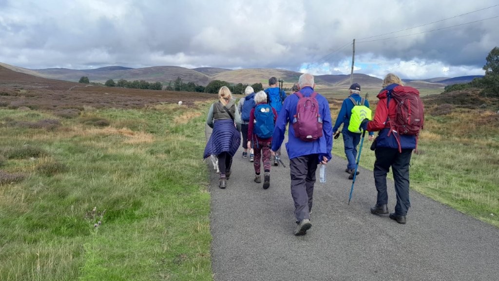
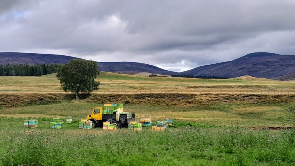
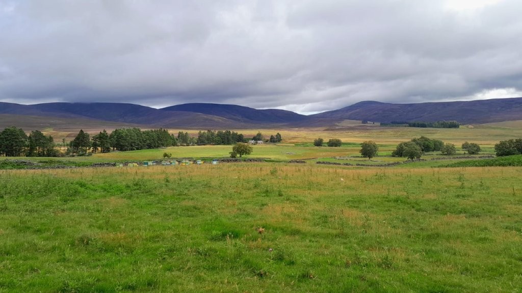
The longer walk is from the village via Milton, Arsallary, Badalair and Auchronie returning to Tarfside.
Around 8.5 miles with an ascent of 1350 feet.
The shorter walk is from the village via Baillies, and near Westbank returning to Tarfside.Around 6 miles with an ascent of 750 feet.
There is an option to ascend to the monument on the Hill of Rowan.
From Carnoustie take the B9128/B961 and A933 to Brechin, then follow signs for Edzell. About one mile past the mini roundabout at the top of the
High Street, turn left and follow the road up Glen Esk until you reach Tarfside.
From Dundee, take the A90 to one stop past Brechin and follow the road to Edzell, then as previously mentioned.
Nearest postcode - DD9 7YU
what3words - premature.lunged.epidemcs
Walks commence at 10am
Please check WhatsApp for any updates.
Wednesday 29 July 2026
Pitlochry - Rob Roy Trail circular (Linda S)
CANCELLED due to the waeather forecast.
Free parking in Pitlochry Festival Theatre car park - in the parking spaces on the far left edge near the entrance.
The Theatre is signposted from the road into Pitlochry. From the theatre, we'll cross the A9 into the Clunie Wood and
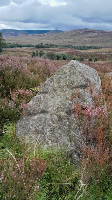
follow the Rob Roy Way SW to climb to the remains of a Stone Circle.
From there we will head NW across moorland to Creag a' Choire - a small rugged outcrop with good views. Heading NNE from there,
we will join a forest track to lead us back to the Rob Roy Way and the theatre car park.
Distance: approx 11k/7 mls, Ascent: 350 m/ 1,148 ft
Shorter walk:
Either:
Walking with the group up to the ruins of the Standing Stones, then return to the cars by the same route.
This walk climbs for most of the way - then it's downhill all the way!
or
Self-guided walk from Pitlochry along the River Tummel to Loch Faskally. Then carry on along the track as far as you like before
returning to the Theatre car park.
Map will be provided if needed.
Refreshments for all: Pitlochry Theatre.
Wednesday 22 July 2026
Glen Moy/Glen Ogil circular
Meeting point: What3words: army.ascendant.economies. OS Grid Ref: NO 402 645.
Take B955 (Glen Clova) from Forfar, T/R to Cortachy, after bridge at Cortachy T/L sign Glen Moy. After 3 miles, parking on left after crossing bridge.
Walks commence at 10 am.
High Walk: goes to Hillside, Auld Darkney, then Glen Ogil Reservoir and returns via Arnold's Seat. Total distance approximately 10 miles with an ascent of 2,100 feet.
Lower Walk: Self guided, out and back. Head north, turn right at Shank, taking the trail to Craig Mou and on reaching the bridge at Toarby Burn, return back the same route.
Approximately 7 miles with an ascent of 800 feet.
If you intend to join the walk, please register your attendance on the WhatsApp group on the evening prior to the walk.
Please monitor WhatsApp for any last-minute weather changes.
Wednesday 15 July 2026
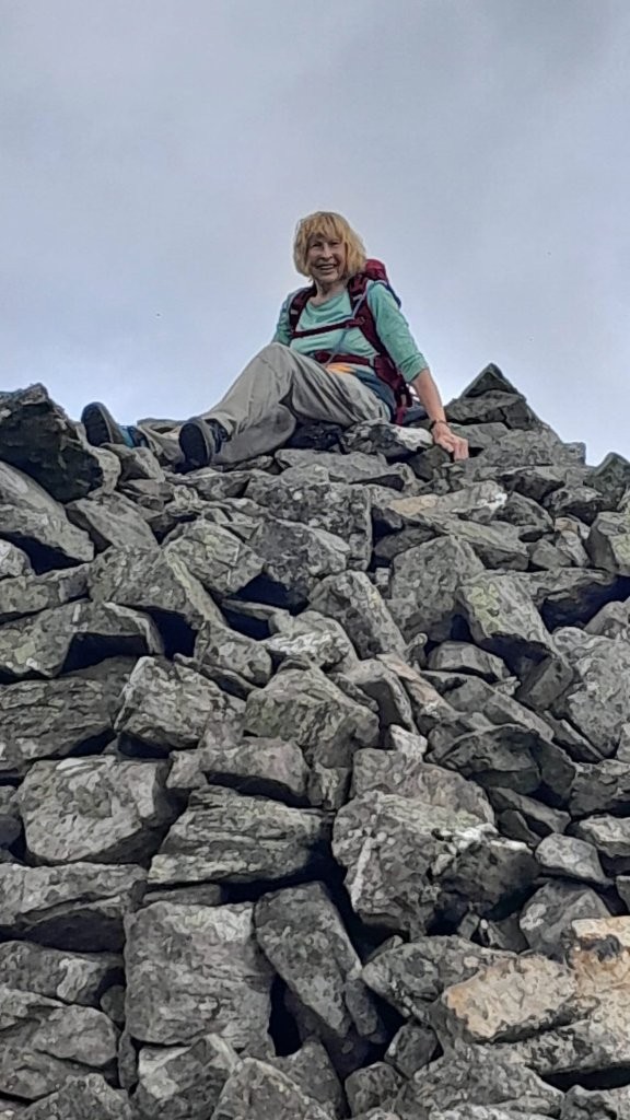
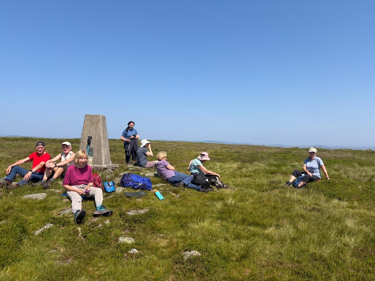
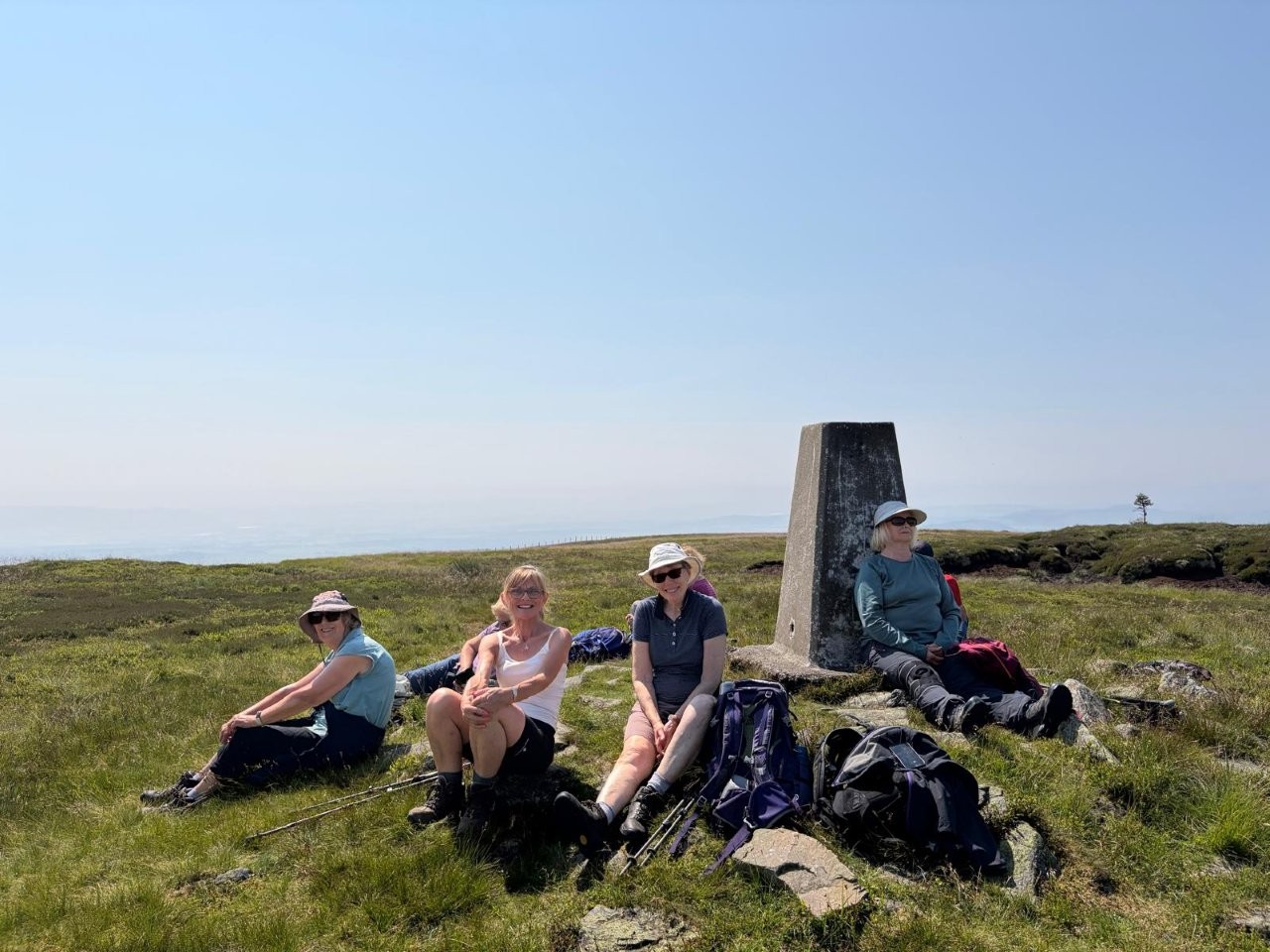
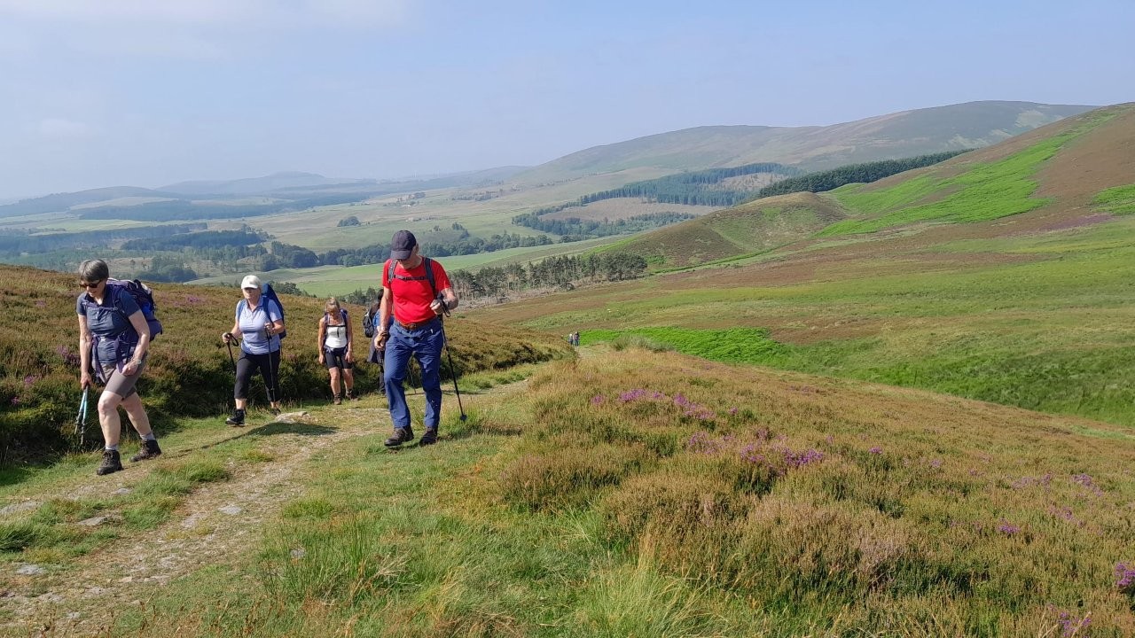
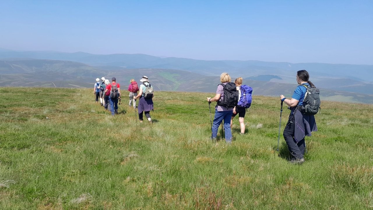
Cat Law circular
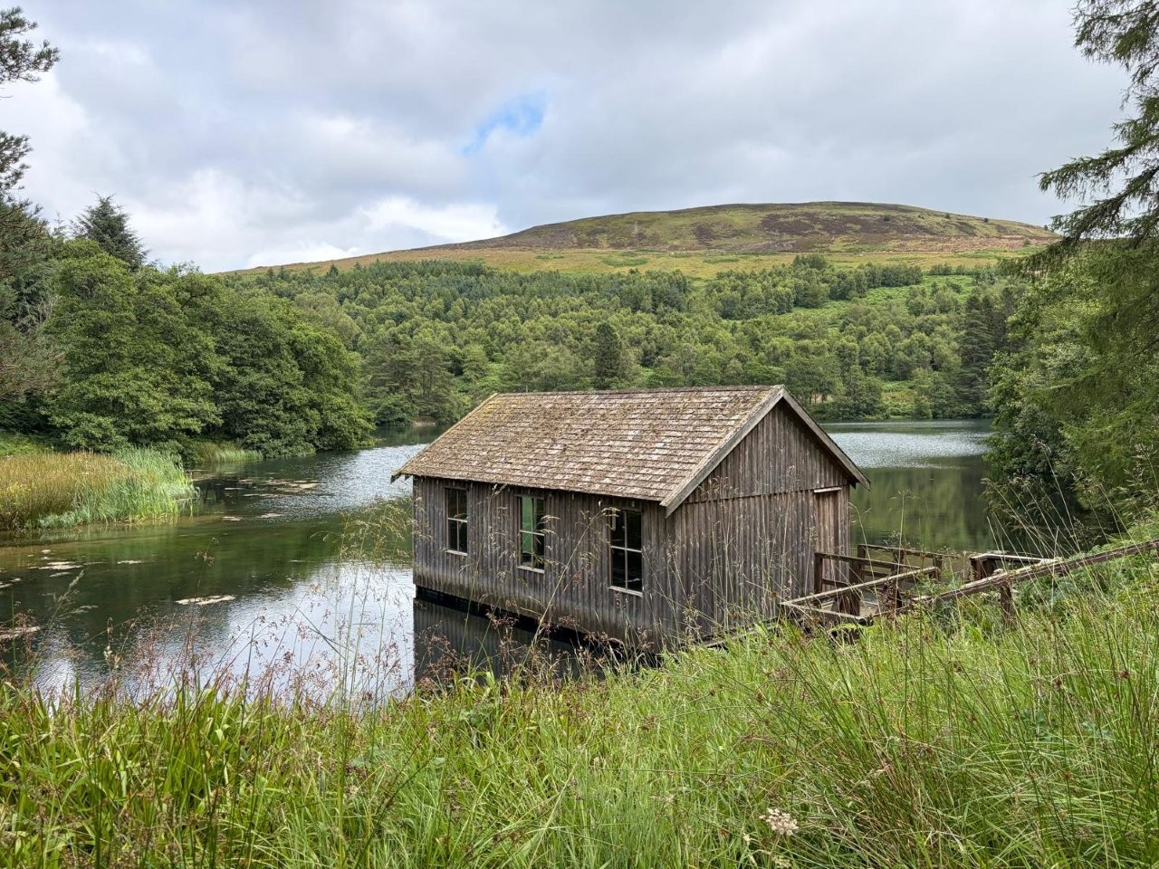
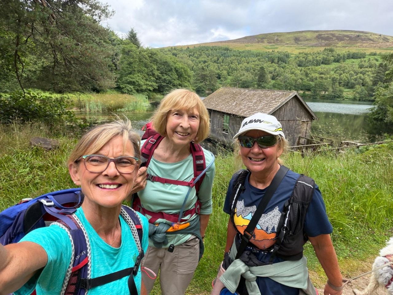
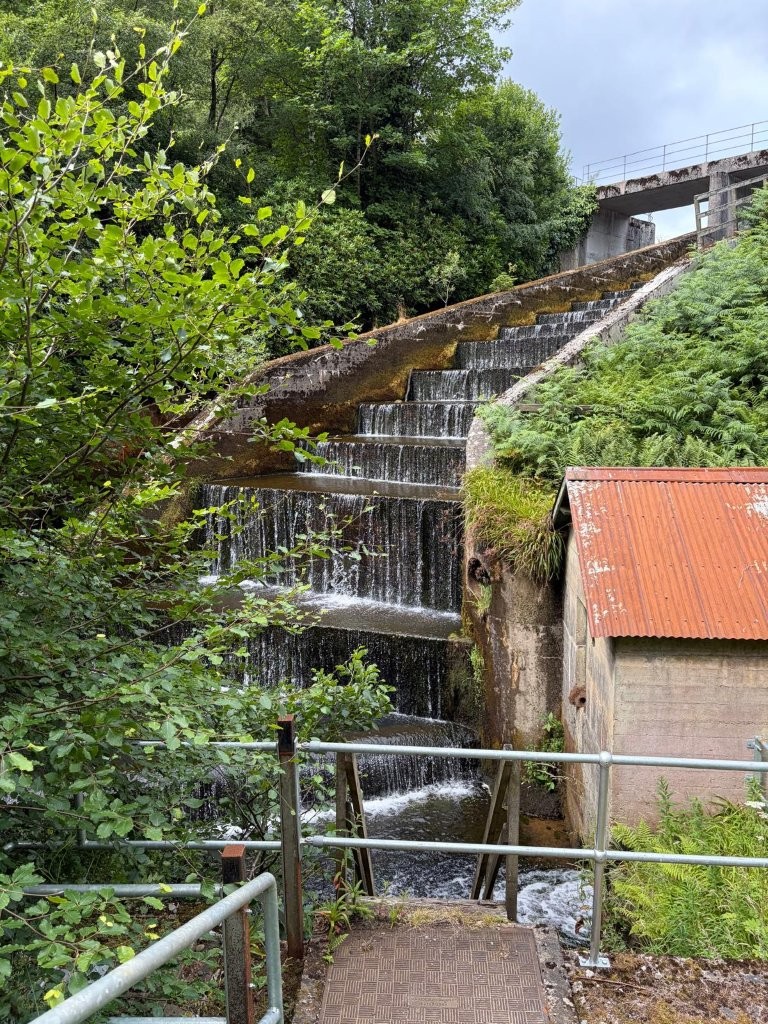
Hello everyone. Don't worry. I haven't forgotten that I'm doing this Wednesday's walk. However, with the recent
higher temperatures I've been swithering about where to go and monitoring the weather forecast. For everyone's comfort,
I don't want to do a long walk with too big an ascent on a hot day.
I've finally decided to replace the scheduled walk to Auchallater. I'm replacing it with our recently rained-off
trip to climb Cat Law.
Arrangements will
be the same as for the cancelled walk if you haven't deleted them.
At least we should have views this time!
Meeting point: parking space on the road to Balintore - turn R off Glen Isla road just past Loch of Lintrathen.
OS grid ref: NO 283 588
What3words: kicks.headlight.sliders
Near Balintore, the road runs through woodland - parking space is on L hand side.
There are very big access gates for forestry vehicles so please do not block these gates when you park.
You can see Balintore Castle from the parking space.
Walking route follows the road then turns off through the grounds of Balintore Castle to Knowehead of Auldallan Farm.
From there we cross a field to join the track up Cat Law.
From the top, we'll descend into Glen Quharity, walk down the glen to the road, then back to the cars.
Dist: approx 12k/7.5miles
Ascent: 468m / 1,530ft
LOW LEVEL WALK - Set out with high level walkers, then turn off to L on self-guided out and back walk up scenic Glen Quharity
- as far as you want to go before turning back.
REFRESHMENTS at Peel Farm 😊
Actually distance is almost the same - just under 12k / 7.5 miles.
I'm not going to estimate a time as we'll adjust our pace and stops according to the heat.
PLEASE REMEMBER TO COME PREPARED FOR THE HEAT AND THE SUN:-
BRING PLENTY TO DRINK much more than usual - even although it makes your rucksack heavier. It will get lighter!
SUN HAT
SUN GLASSES
SUN CREAM
SCARF OR SHIRT COLLAR TO PROTECT THE BACK OF YOUR NECK - a wee cotton neckerchief / head-scarf is good. To cool down,
soak with water and wear round your neck.
Also BLISTER CARE - hot feet can blister more easily.
Wednesday 8 July 2026
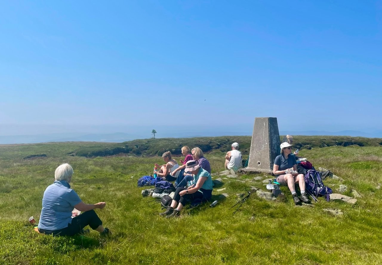
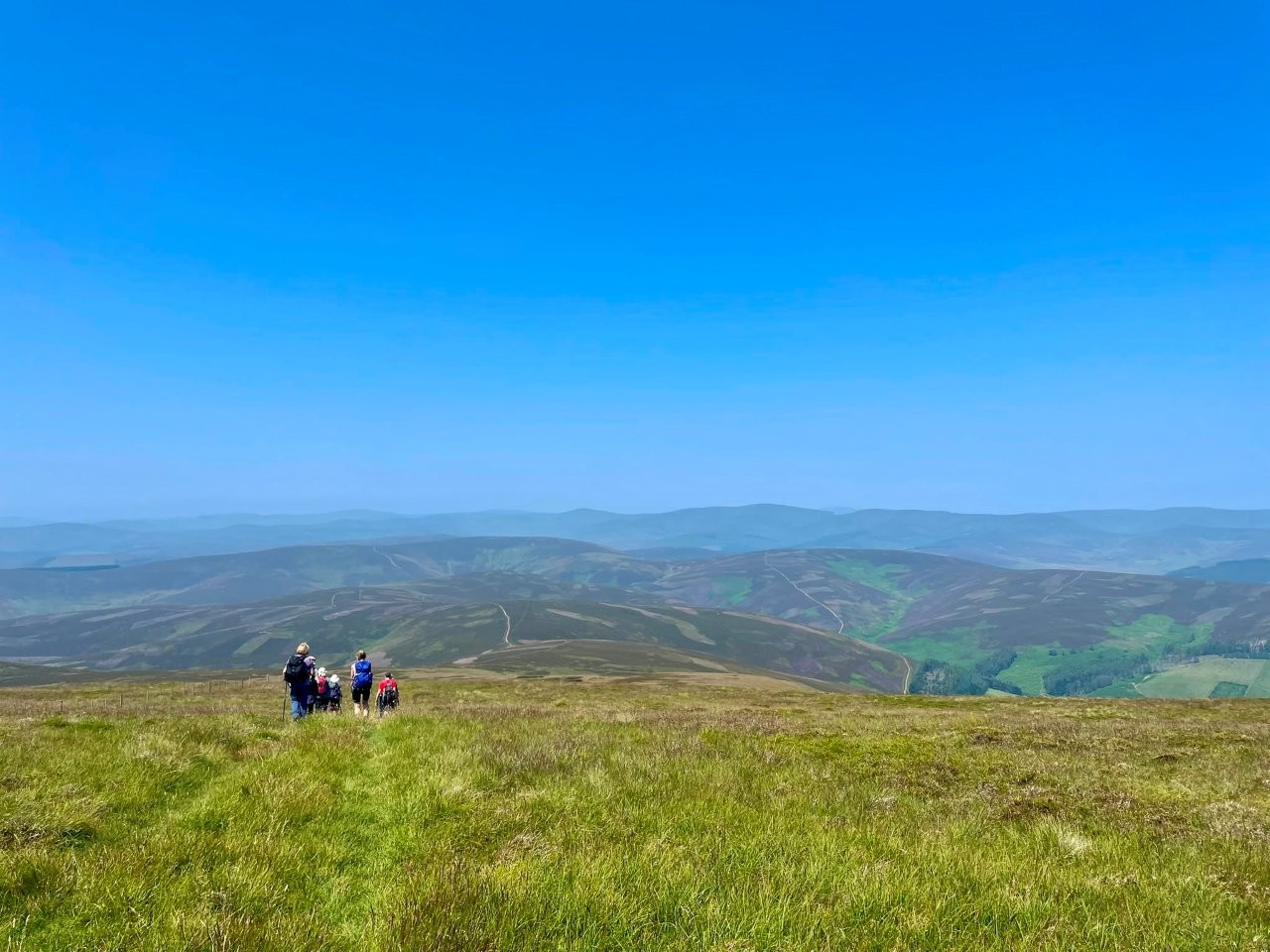
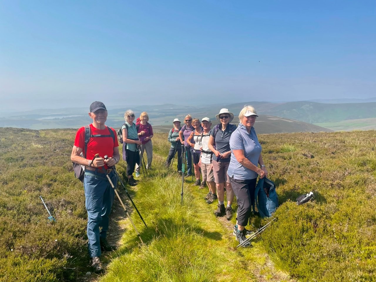
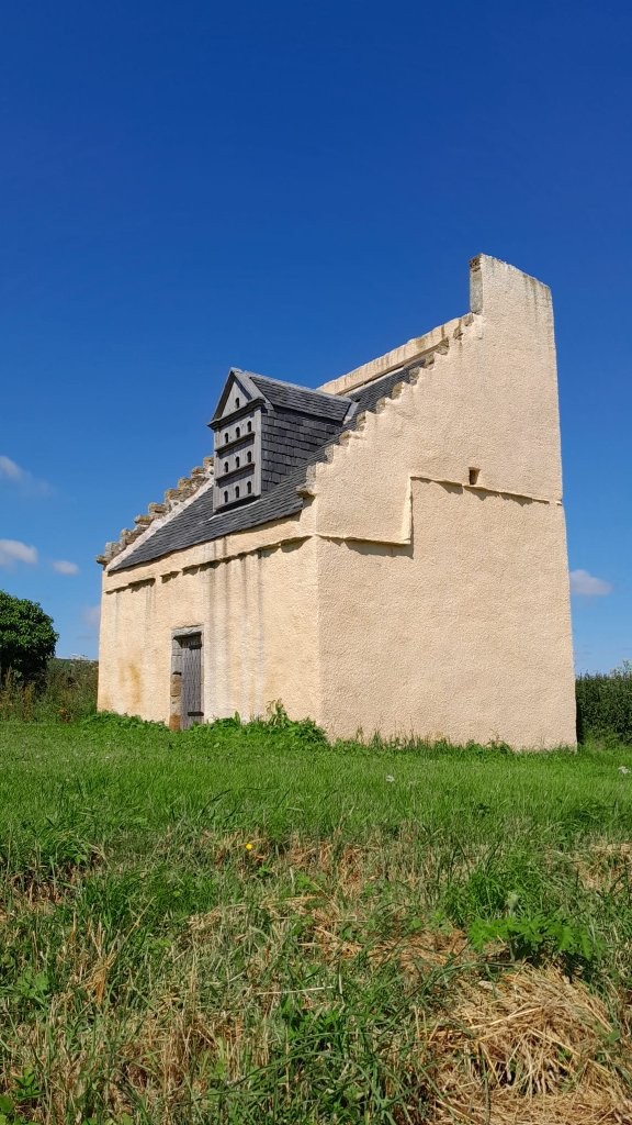
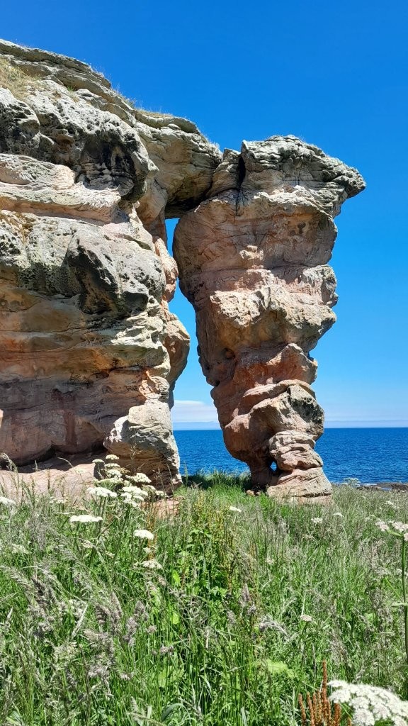
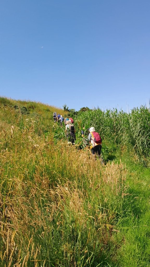
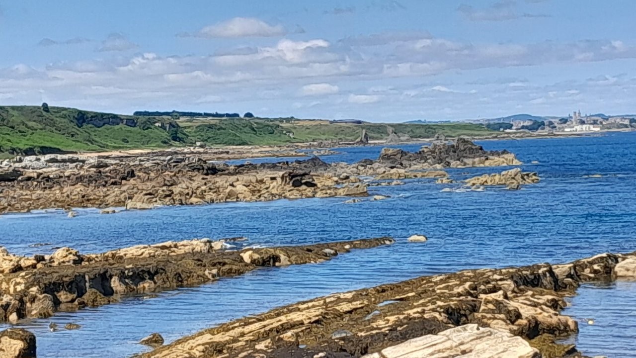
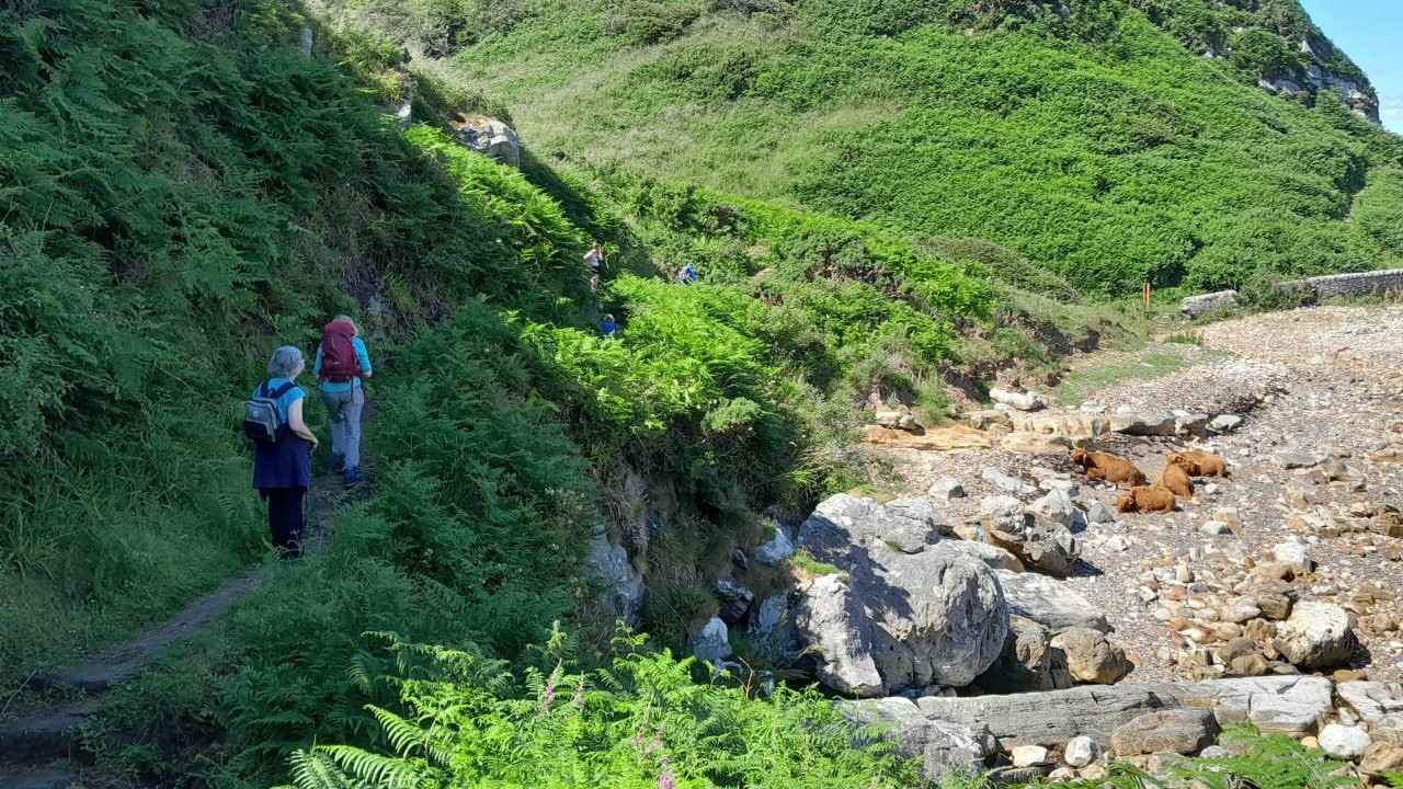
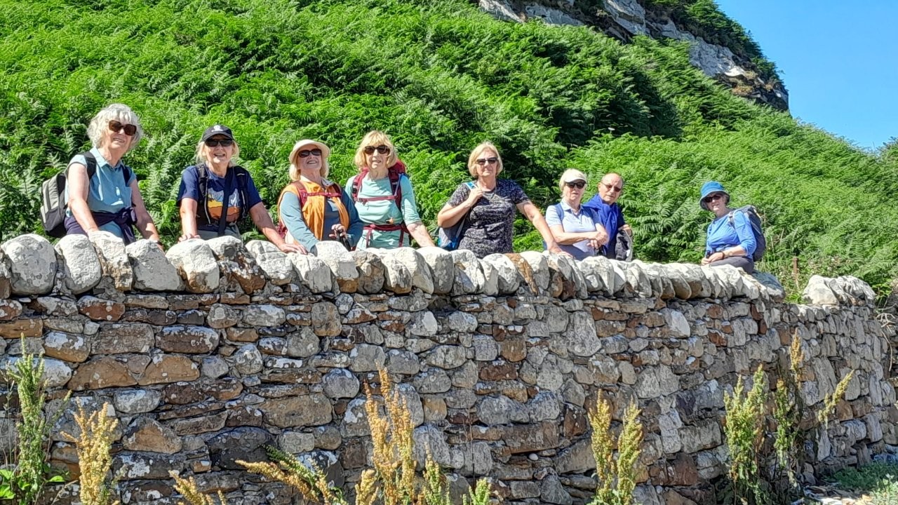
Bus to Boarhills & walk back coastal path to St Andrews (Gill)
Meet in St. Andrews at the first car park (free) as A91 ends at mini roundabout (R at roundabout) before Links Crescent.
What3words: Depravity.sounding.classics
Meet at 9.50am as we will walk to the bus station (bring passes if you have them). Buses leave at 10.20am.
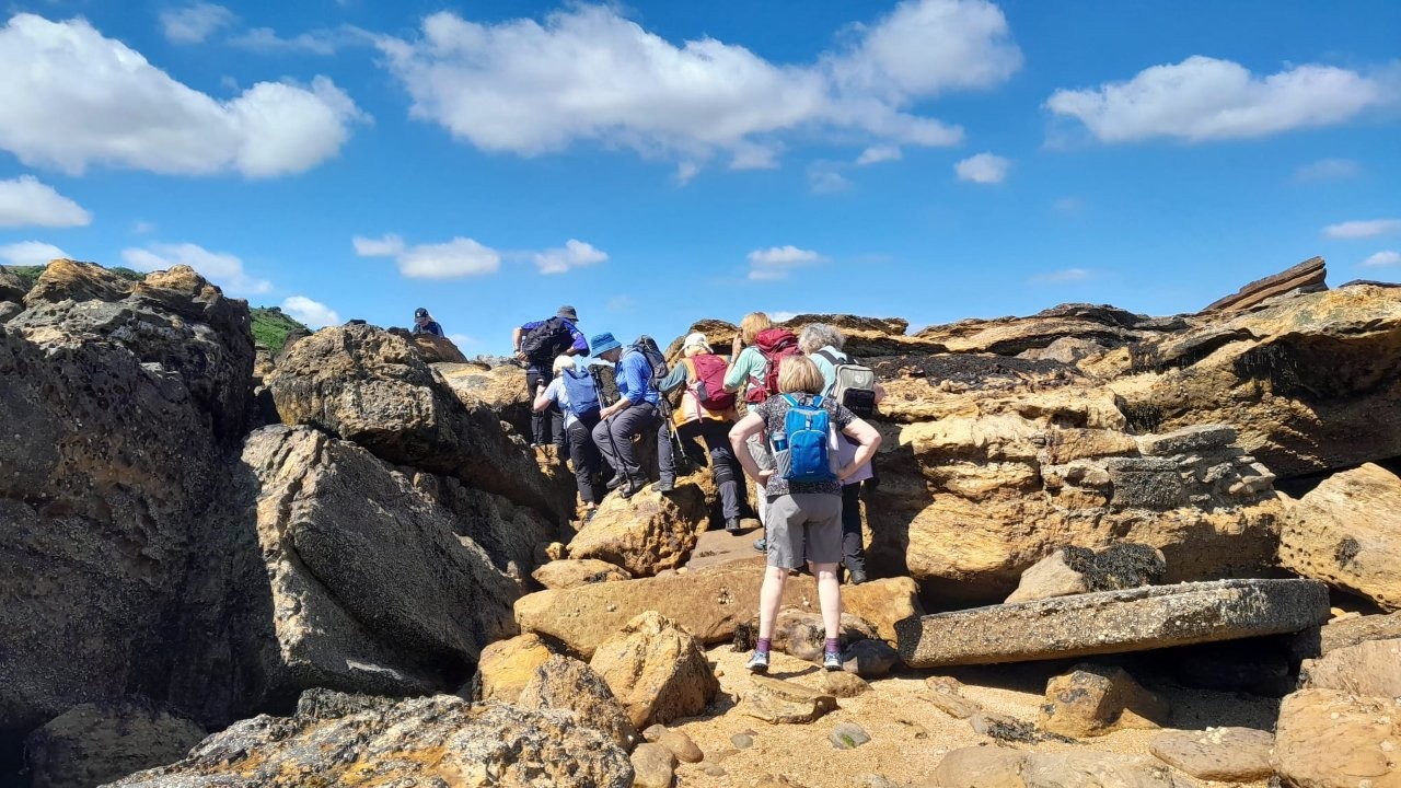
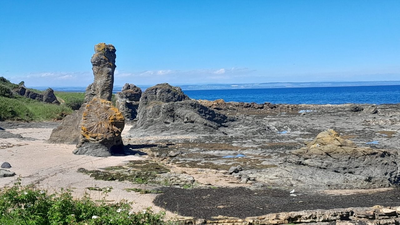
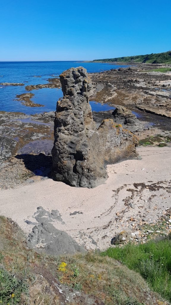
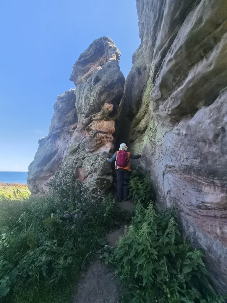
We will disembark at Boarhills & walk back to St Andrews - please be aware the path involves some rock scrambling along the beach areas.
If weather allows we will walk back to the West Sands & enjoy refreshments at the Dook before returning to our cars.
If it's poor weather we will opt for another venue.
Approx distance 7.2 miles
Wednesday 1 July 2026
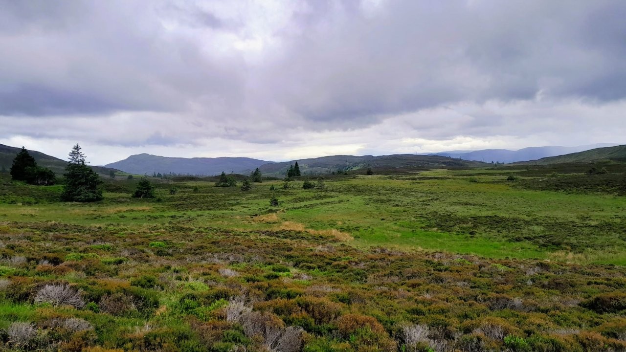
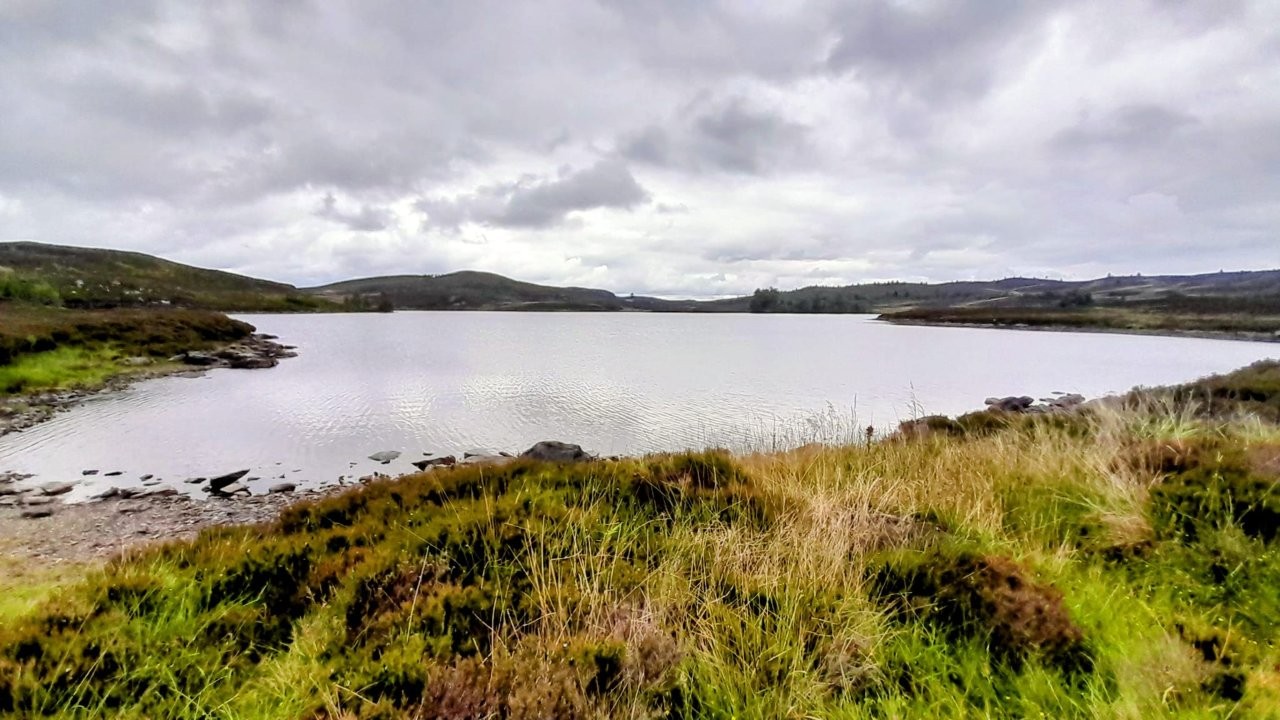
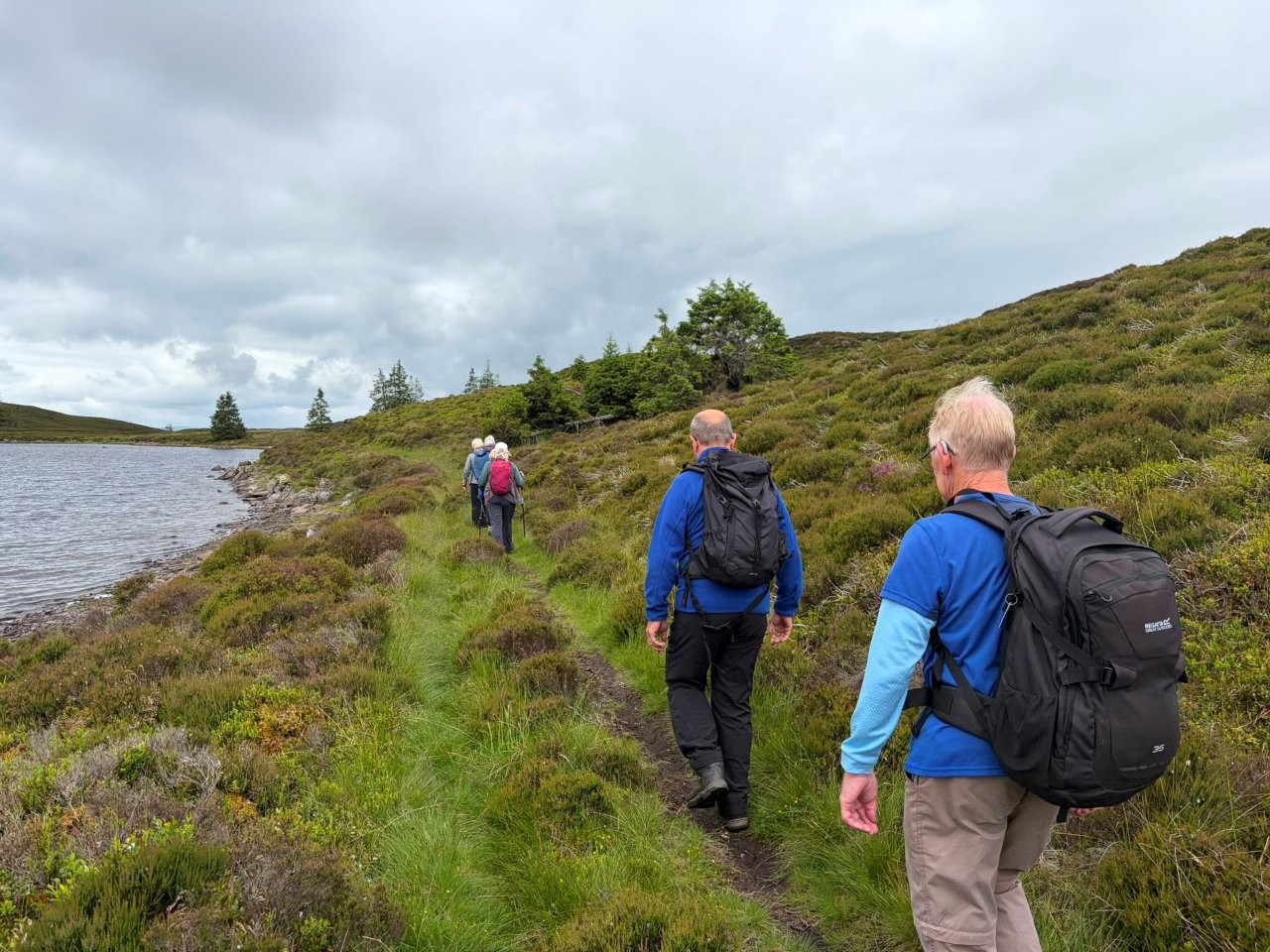
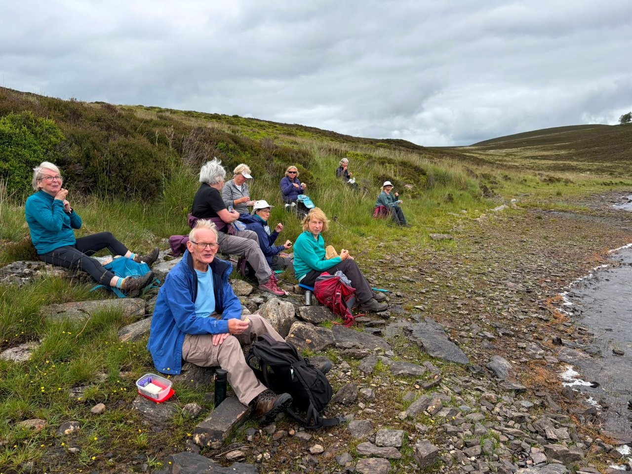
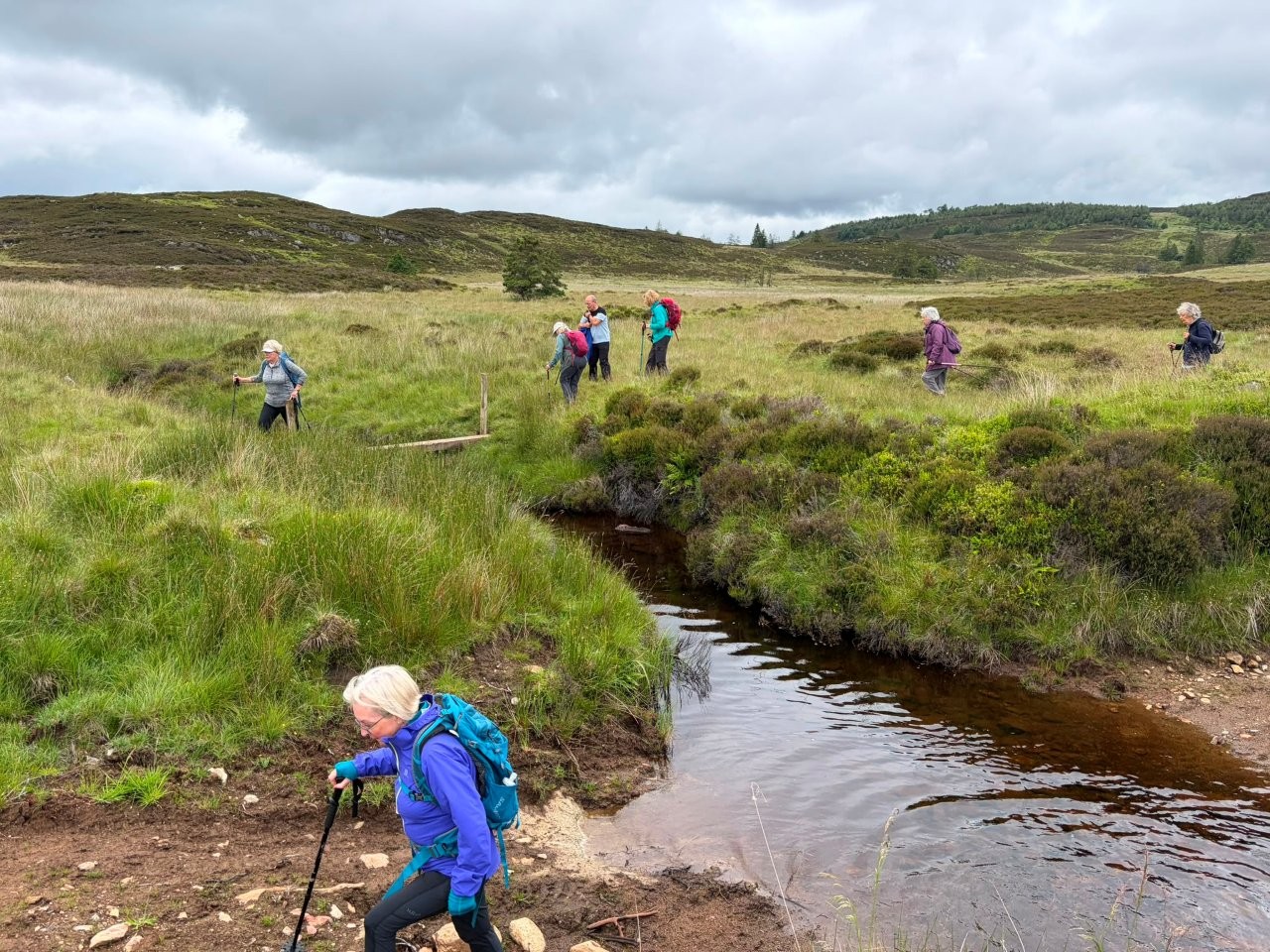
Tullimet circular via Lochan Oisinneach Mor (Val)
The walk is a circular from Milton of Tulliemet towards Tulliemet House and then Lochan Oisinneach Mor,
8 miles with an ascent of 1250 feet. A shorter, self-guided there and back walk is possible also, mileage to suit.
We will meet just beyond Ballinluig Services at 10am in order to reduce cars to no more than three.
What3Words: scar.elbowed.crucially
Please be at Ballinluig Services by 10am. Toilet facilities are available there.
Wednesday 24 June 2026
Craigtoun Park/St. Andrews Harbour Circular (Mitch)
CANCELLED due to lack of interest.
Meeting Point: What3words: magnets.flickers.clinking.
(Craigtoun Park Car Park, St.Andrews).
Walks commence at 10am.
The shorter walk (self guided).
From Craigtoun we take the Pilgrim Way to Bogward Road before heading to the hospital, then along Scooniehill Road and through a
lane into Irvine Crescent to the Grange Road then down to the East Sands along to the harbour, return by going to St.Marys Street,
turn right into Woodburn Terrace and R again into Woodburn Park and Glebe Road, follow the Kinness Burn and head for Lade Braes Walk
to follow the Burn to the end at Hepburn Gardens and straight until a L/T into Balone, then a R/T to Mounte Melville and onto Craigtoun.
Approximately 7.5 miles with an ascent of 400 feet.
The longer walk is the same as the shorter walk until the hospital. We then go to Pipeland Steading and the trail to Scooniehill Farm.
The walk then heads to the Grange Road and the harbour and returns the same route as the shorter walk. Approximately 10 miles with an ascent of 700 ft.
If you intend to join the walk, please register your attendance on the WhatsApp group chat on the evening prior to the walk.
Please monitor WhatsApp for any last-minute weather changes.
Both walks shall be together until the hospital.
☕️🍰 Craigtoun Park Cafe
Wednesday 17 June 2026
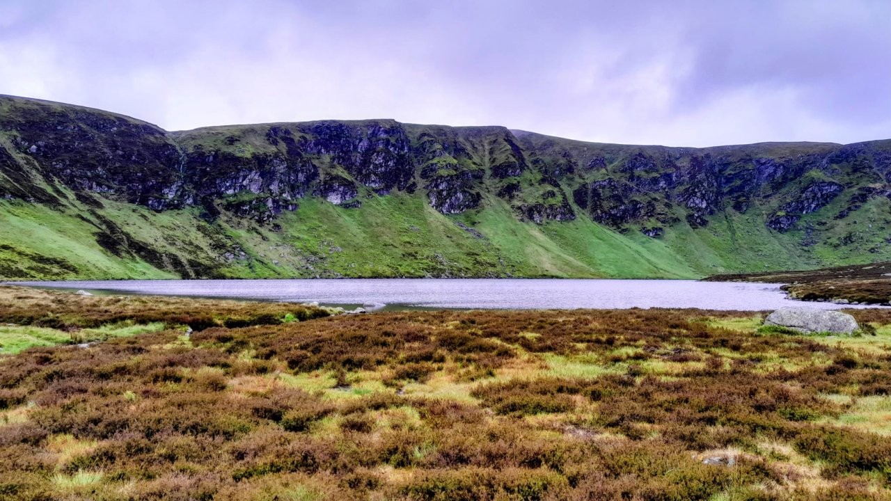
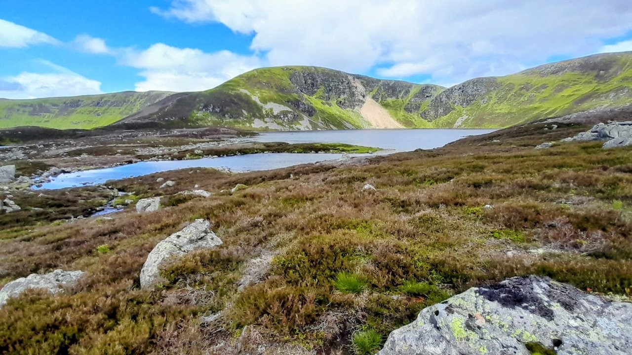
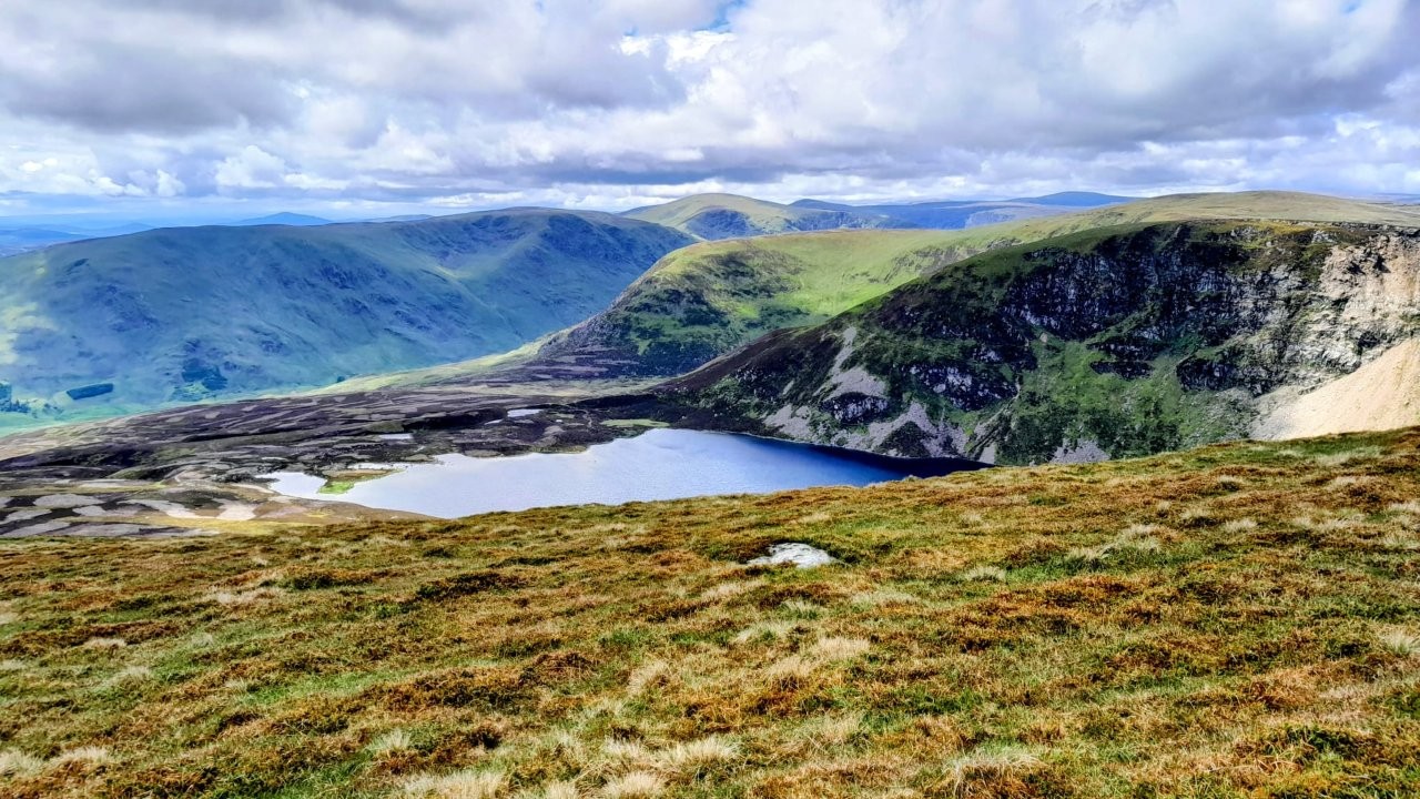
Loch Wharral, Green Hill, Loch Brandy (Mitch)
Meeting point: What3words: furniture.note.growth (Milton of Clova Car Park)
Walks commence at 10 am.
High Walk: From Clova Hotel we take the Trout Loch Path and at the other end of Loch Heath take the old trail that follows Burn of North Inchdowrie
and cross the ford to Gough Craig, then onto Loch Wharral, Green Hill. Descend on the east side of Loch Brandy back to Clova Hotel. Approximately 8
miles with an ascent of 2,250 feet.
Low walk: From the car park, go past the church and once over bridge go through double gates, a out and back track to Braedownie. Up to 7 miles
with ascent of 300 feet.
If you intend to join the walk please register your attendance on the WhatsApp group on the evening prior to the walk.
Please monitor WhatsApp for any last-minute weather changes.
Wednesday 10 June 2026
Gella Circular (Mitch)
The walk which will start from the Gella car park at the South end of Glen Clova.
Getting there, take the B955 from Kirriemuir and 3 miles, after Cotachy take the right fork, signed Rottal,
and cross the bridge and right into the car park.
What3words for the car park is postings.claim.paid
The walk is fine for all abilities and is approximately 7 miles and less than 2000ft of ascent.
Refreshments afterwards at Forfar Driving Range.
Just watch for any further updates on WhatsApp.
Wednesday 3 June 2026
North Water Viaduct - Montrose (Linda S)
Sorry, folks, but tomorrow's walk will be at Montrose and Cat Law will be rescheduled.
Constant weather checks today on all my weather apps plus tonight's BBC TV forecast show that
we would probably start off dry at 10am, but rain with some heavy downpours will sweep northwards
bringing worsening visibility. It looks like we'd be caught by the rain on the top and for the descent.
MONTROSE - WALK TO NORTH WATER VIADUCT
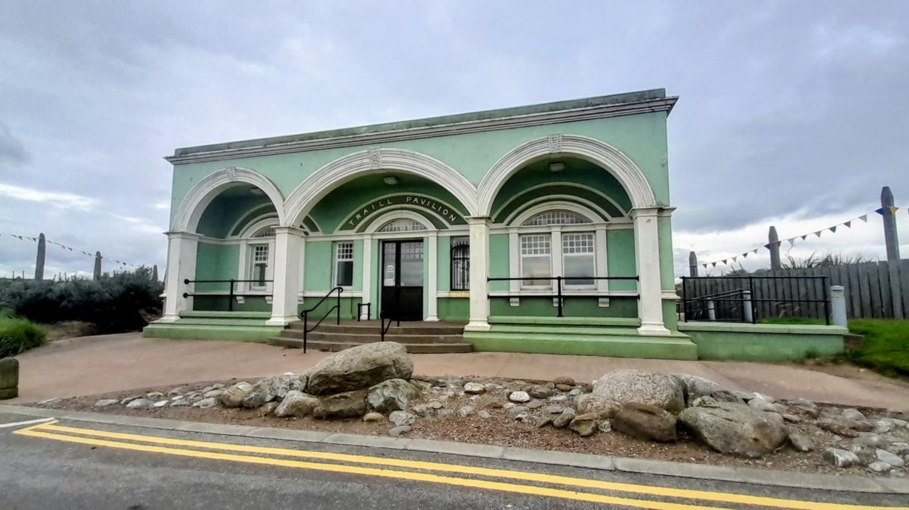
Meeting point: 10am at the Beach Car Park in Traill Drive near the Splash Park
What 3 Words : buyers.bookings.microfilm
Grid ref: NO 726 578
Distance: 12k/7.5miles
It looks like there are parking charges - £4.80 per day /£1 an hour.
Not sure if there is possible street parking, so we could gather in the car park, then move if street parking is available.
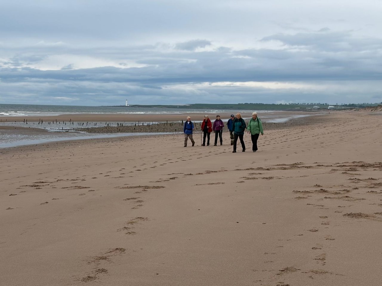
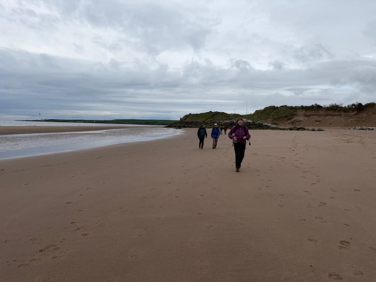
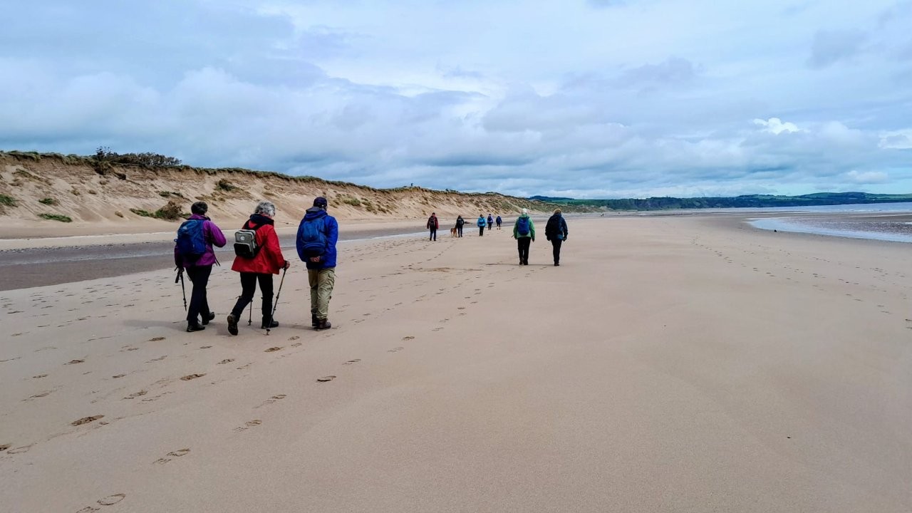
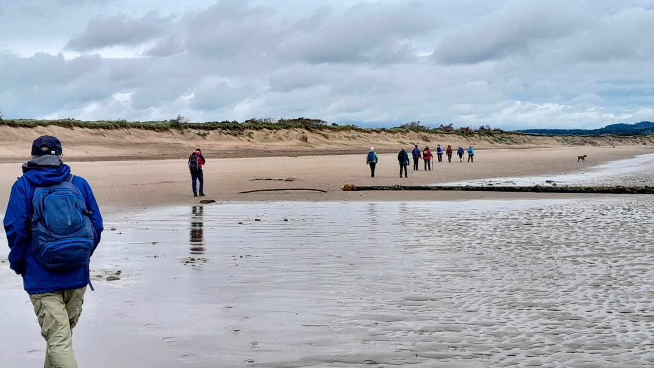
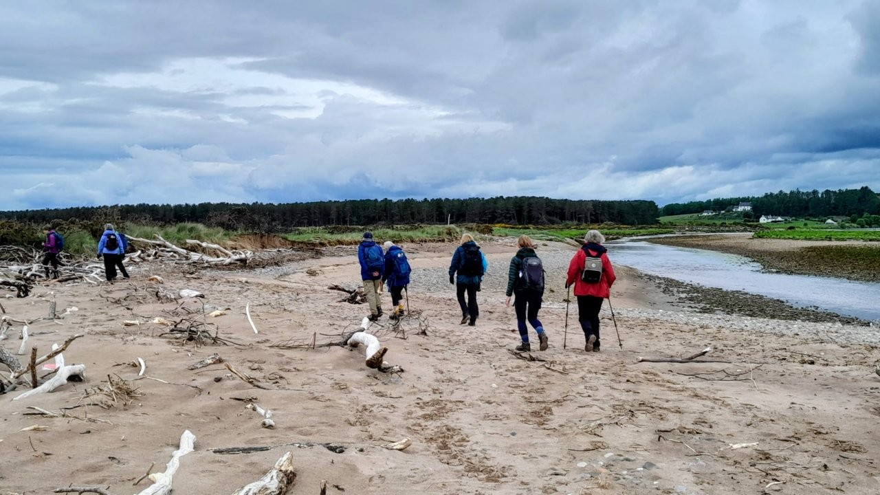
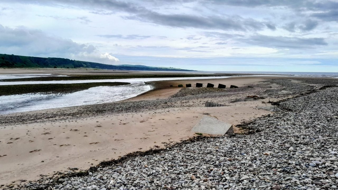
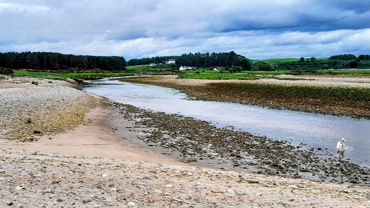
Courier Walk: Along beach (low tide 10.24am) and/or prom to north end - turn inland to the viaduct - return by
cycle track and Montrose Links.
Not sure how accurate the Courier walk is now that Montrose Beach and the golf links have been seriously eroded,
so we shall see!
P.S. Weather forecast is a bit better on the coast. It should be ok to start with, then rain about 1pm.
Refreshments in 2nd Chance Tea Room in Inverkeillor.
-------
Cat Law Circular - CANCELLED
Meeting point: parking space on the road to Balintore - turn R off Glen Isla road just past Loch of Lintrathen.
OS grid ref: NO 283 588
What 3 words: kicks.headlight.sliders
Near Balintore, the road runs through woodland - parking space is on L hand side.
There are very big access gates for forestry vehicles so please do not block these gates when you park. You can see Balintore Castle from the parking space.
Walking route follows the road then turns off through the grounds of Balintore Castle to Knowehead of Auldallan Farm. From there we cross a field to join the track up Cat Law.
From the top, we'll descend into Glen Quharity, walk down the glen to the road, then back to the cars.
Dist: approx 12k / 7.5miles
Ascent: 468m / 1,530ft
LOW LEVEL WALK
Set out with high level walkers, then turn off to L on self-guided out and back walk up scenic Glen Quharity
- as far as you want to go before turning back.
REFRESHMENTS ay Peel Farm 😊
ADDED NOTE:
Not long ago, we climbed Cat Law on a dismal day - very heavy rain, wind and low cloud, so we missed the great views which are one of the highlights of this walk.
Therefore, if weather forecast is for rain on Wednesday, I will cancel this walk for a better day with the views!
ALTERNATIVE POOR WEATHER WALK:
North Water Viaduct - Montrose.
A Courier Walk done several times by the Carnoustie Walkers.
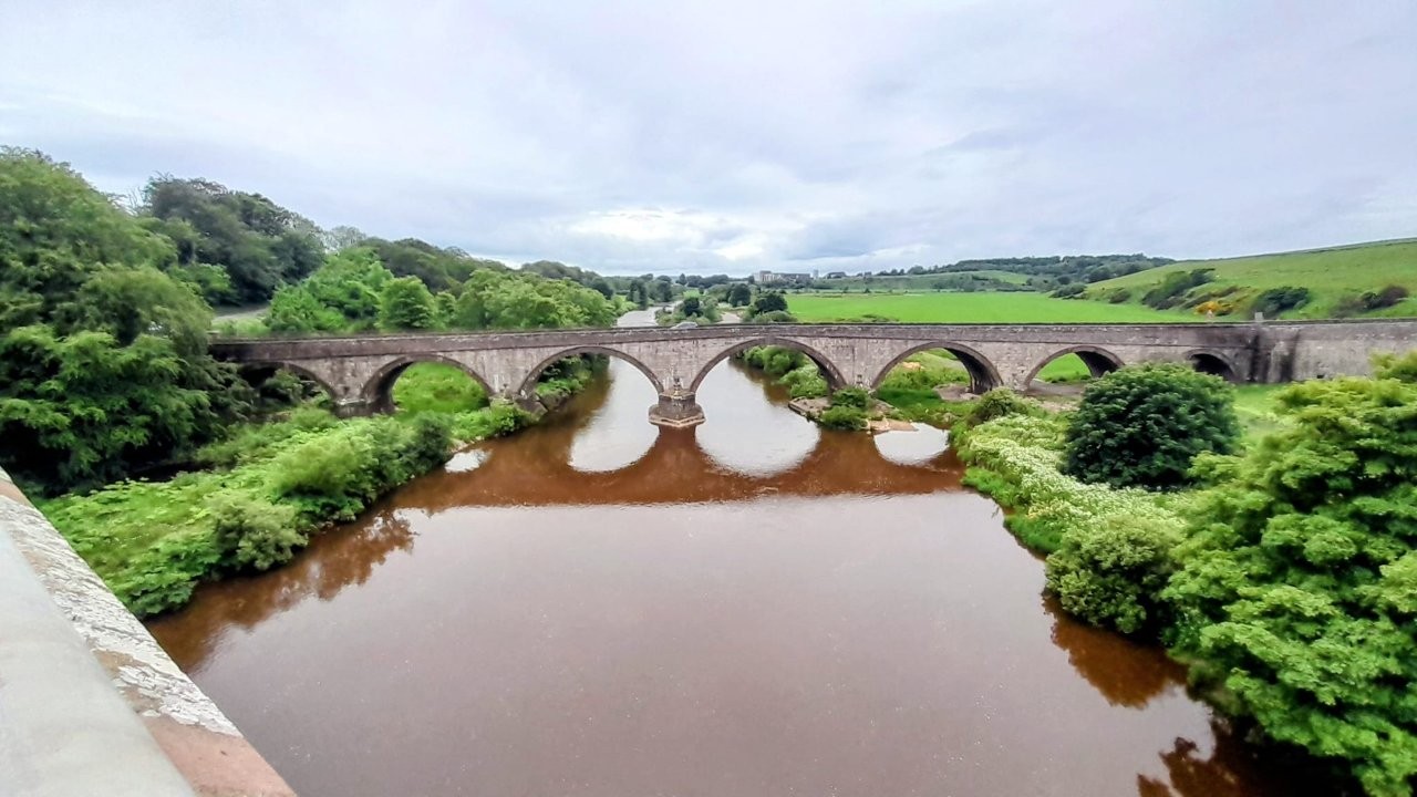
A low level loop - flat walk along the Montrose seafront to the North Water Bridge - old railway viaduct crossing R. North Esk.
More details if Cat Law cancelled.
Wednesday 27 May 2026
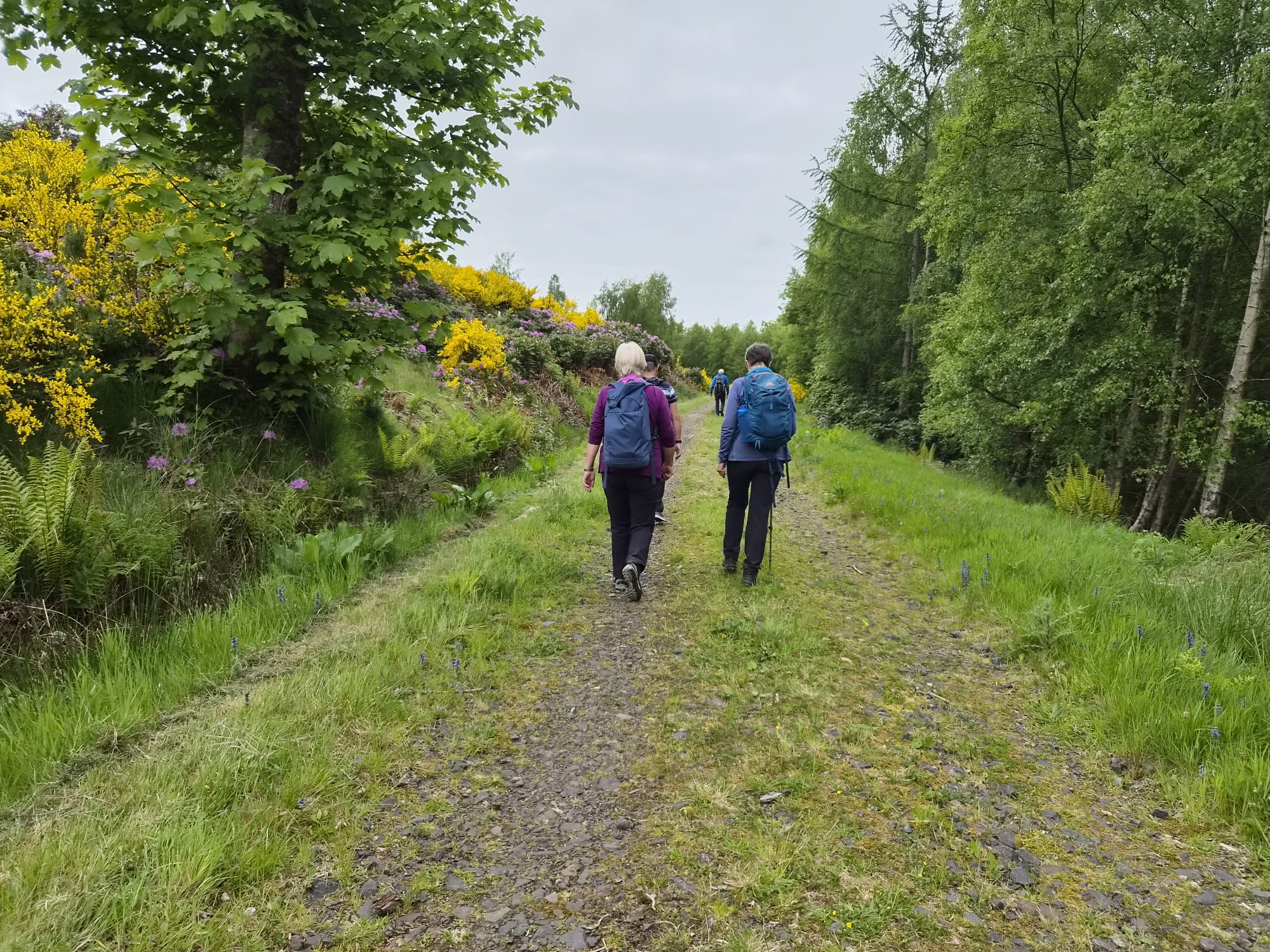
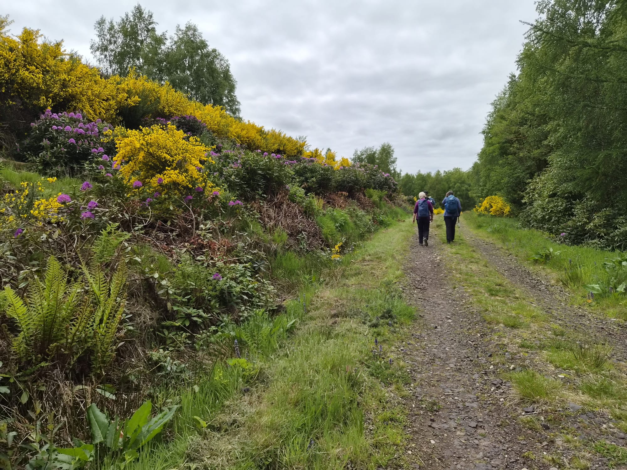
Historic circuit around Glamis. (Gill)
Setting off 10am from the village car park, entry by side street from Main Street, DD8 1RG
What3words browsers.refined.onion
Taking in woodland walks, farm tracks & minor roads
Approx 8 miles, Ascent 950 ft
Wednesday 20 May 2026
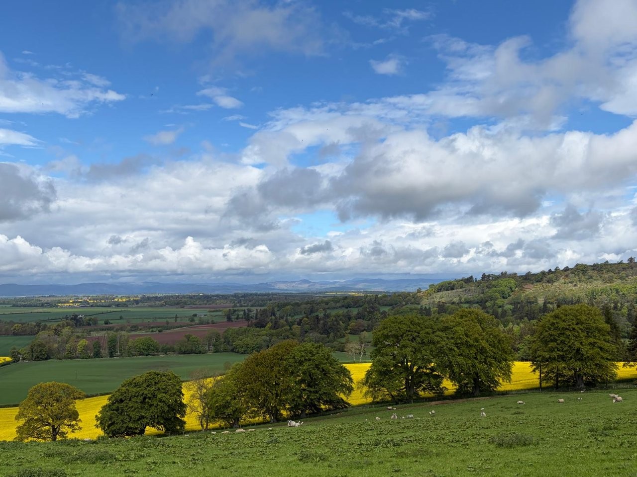
Rait Circular (Gill)
Change of walk for this Wednesday- doing the one proposed in January but was called off due to bad weather.
Starts & finishes at Rait Antique Centre, PH2 7RT
what3words : soup.nylon.miles
Set off at 10am- ample parking & WC facilities to the side of the Antique Centre
Approx 10 miles, ascent 1610 ft
We head South from the car park, turning left at the signpost B9543 to Franklyden.
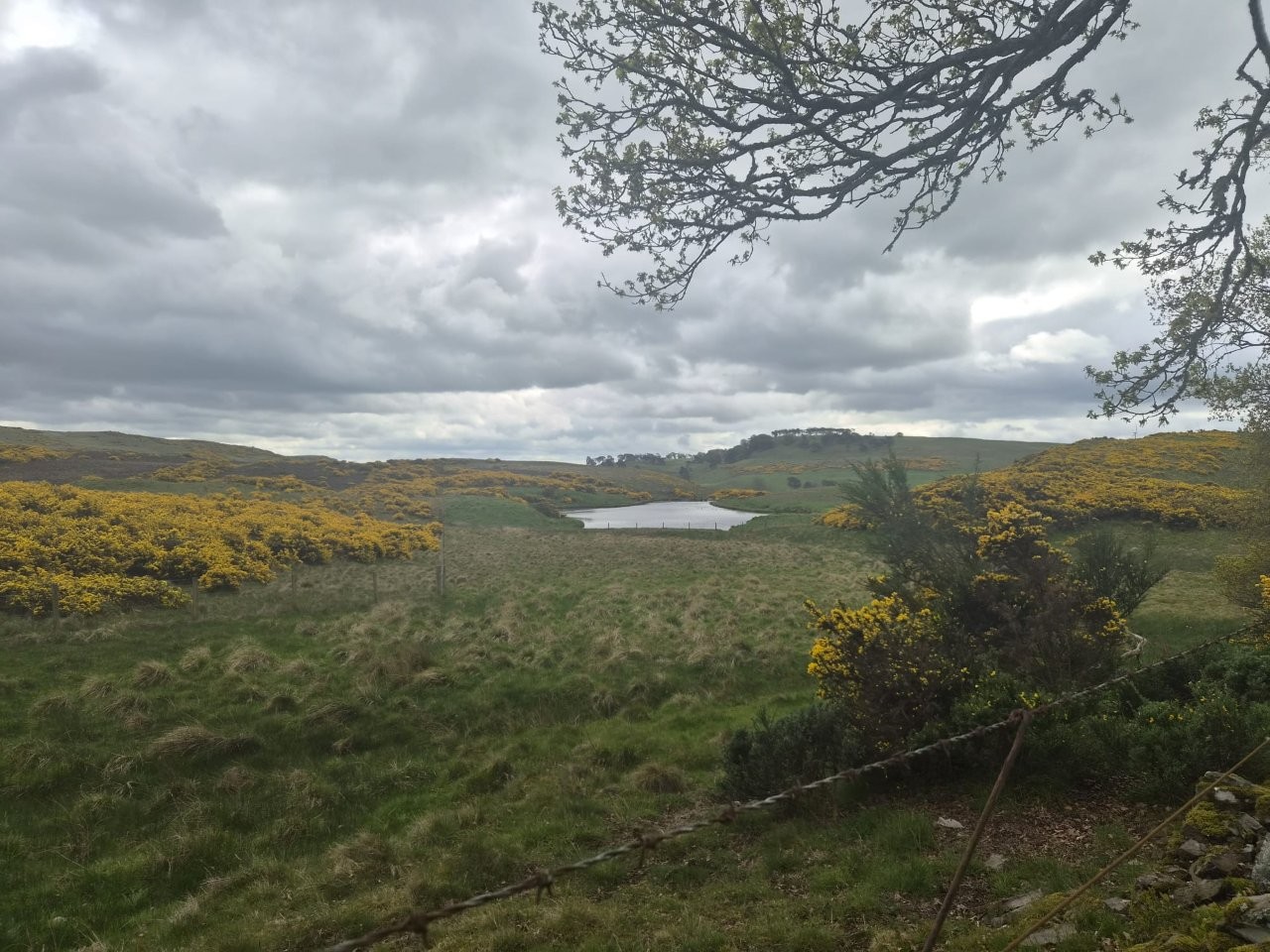
We will pass many points of interest including reservoirs.
A shorter/self guided route is available around the village.
Pack picnic, however refreshments are available by the wood burning stove inside the Antique centre cafe once
we return to our vehicles.
Try soup.nylons.rules for What3words. Antique Centre should be fairly easy to find.
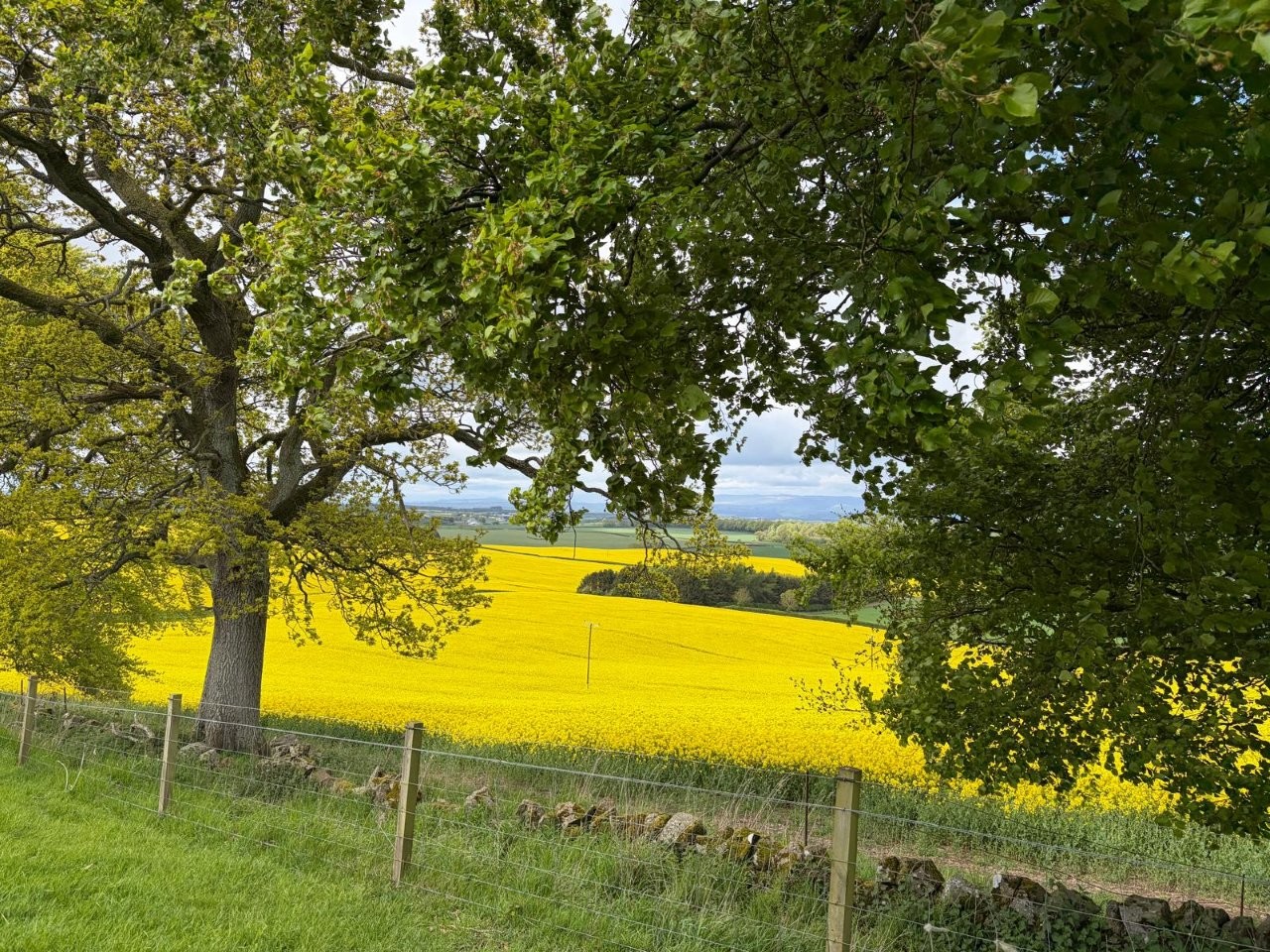

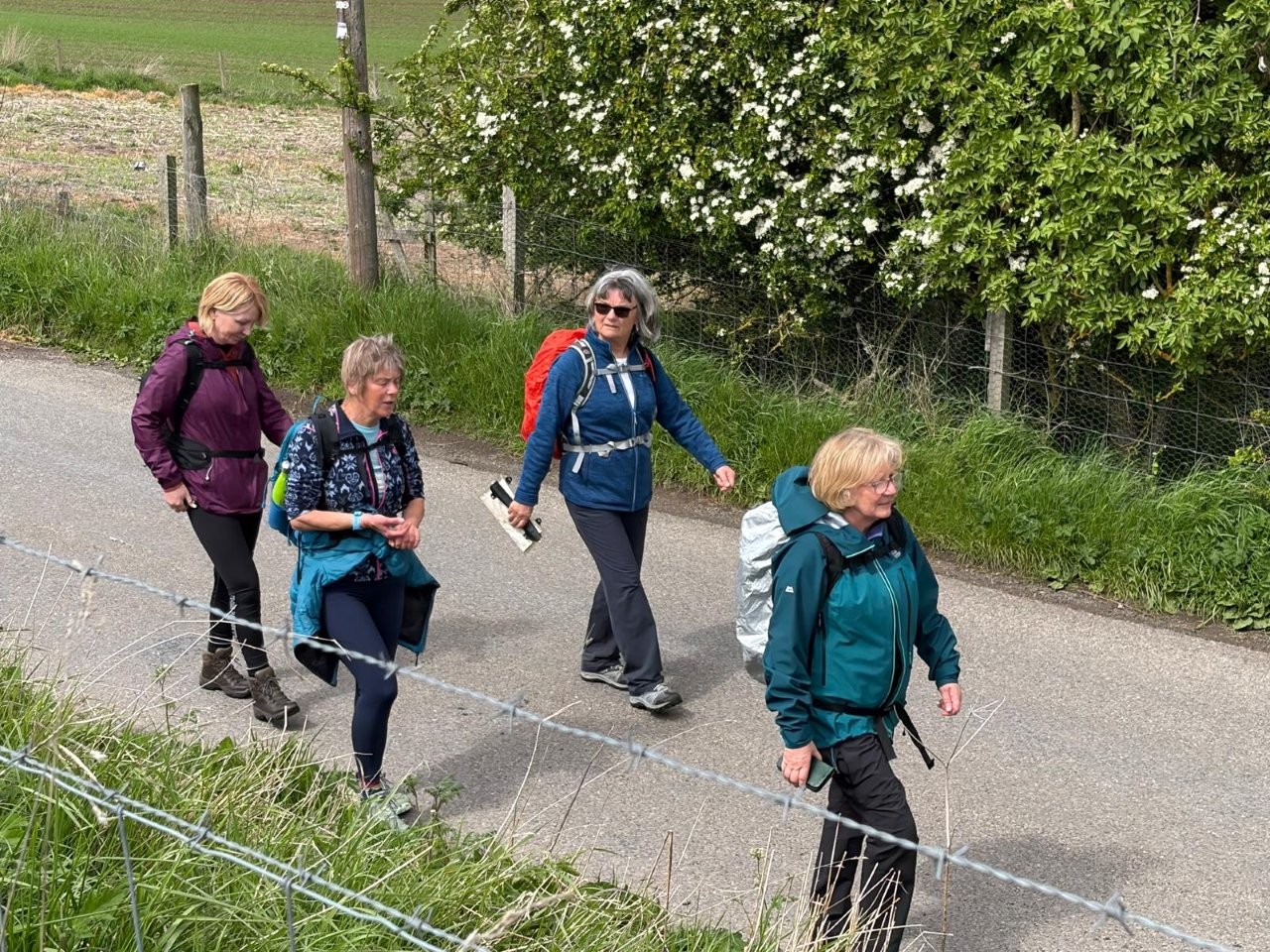
Wednesday 13 May 2026
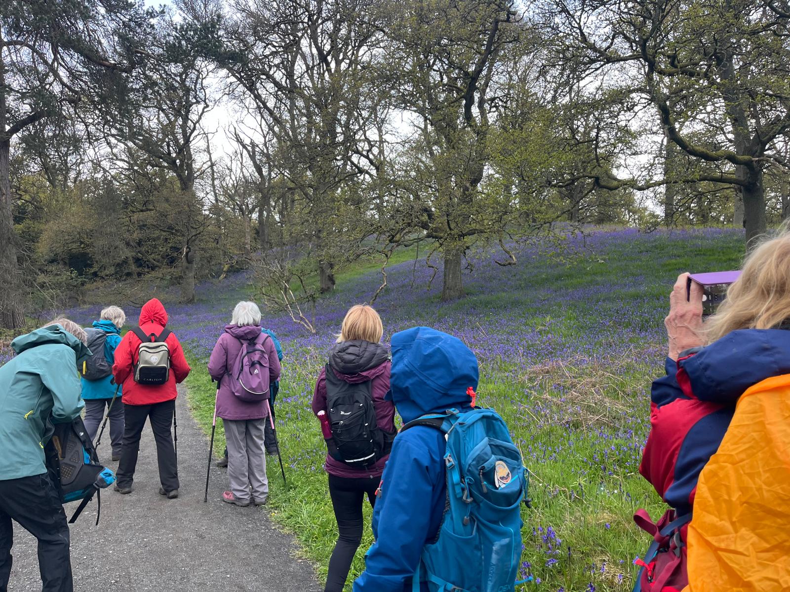
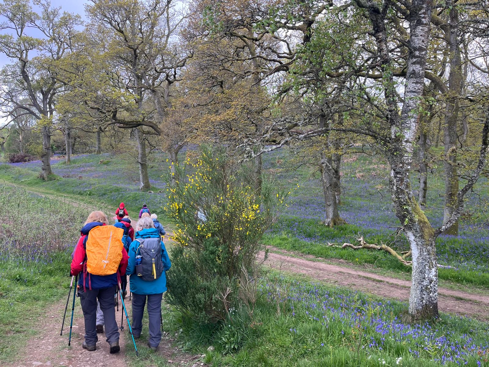
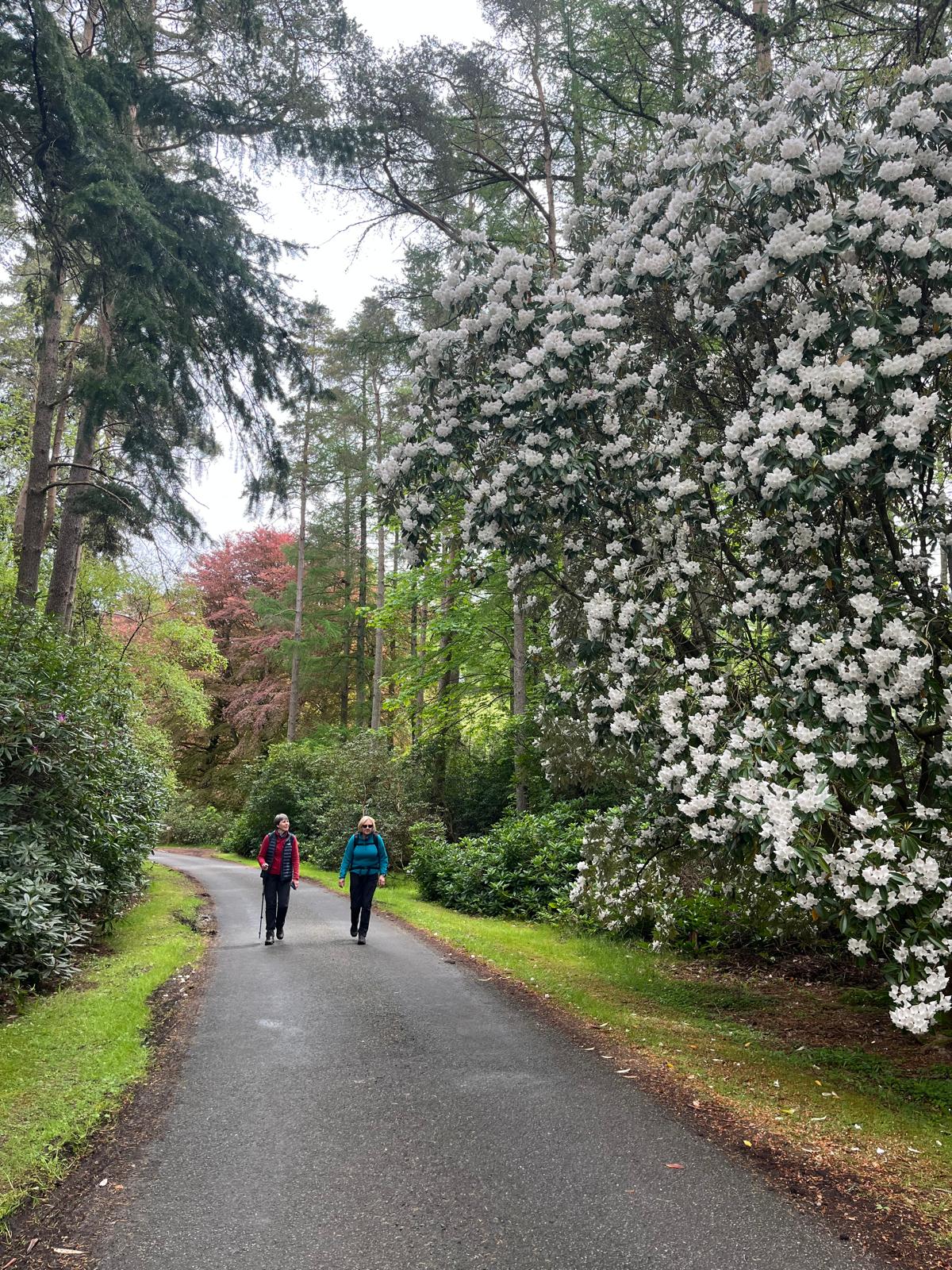
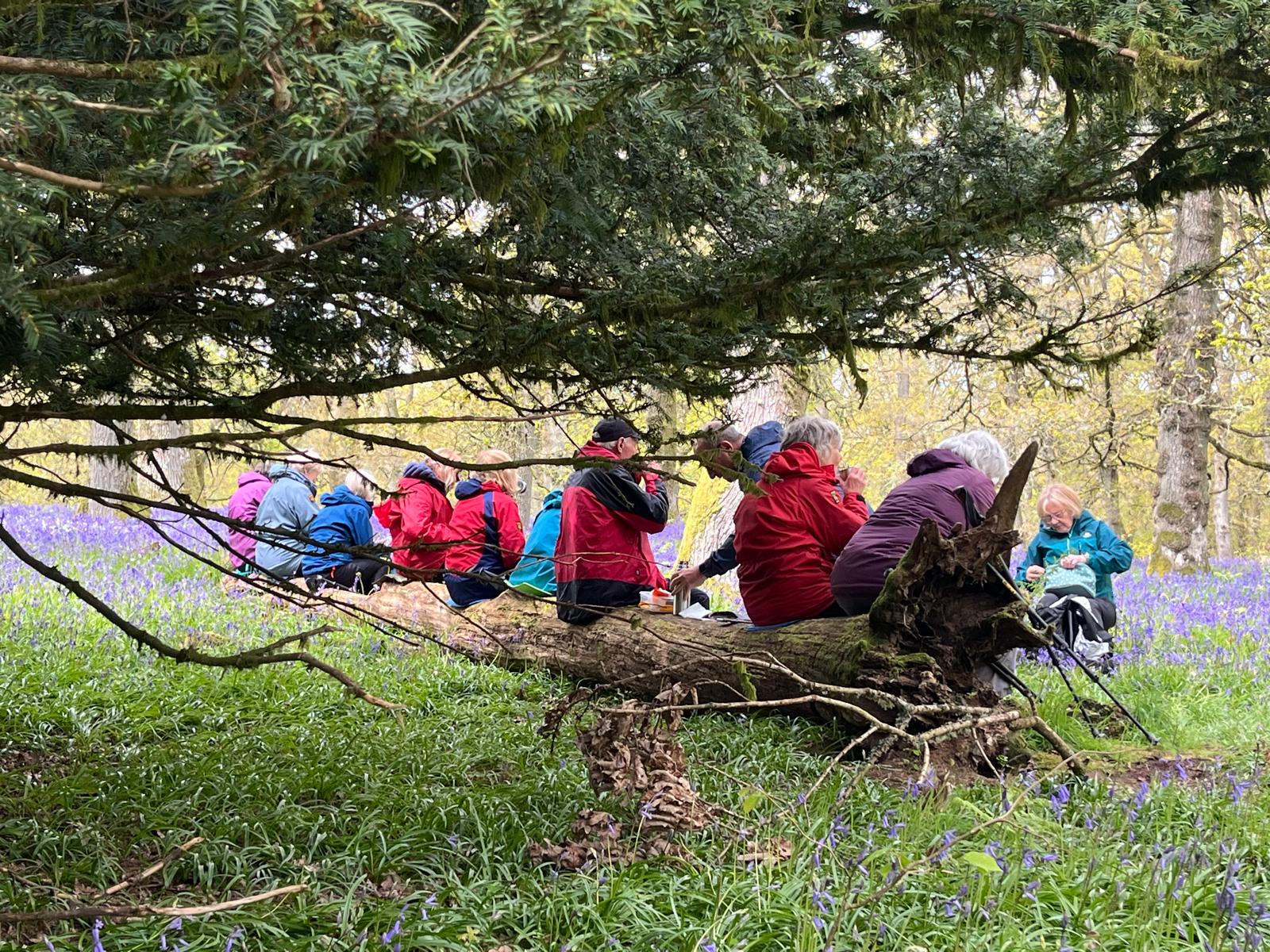
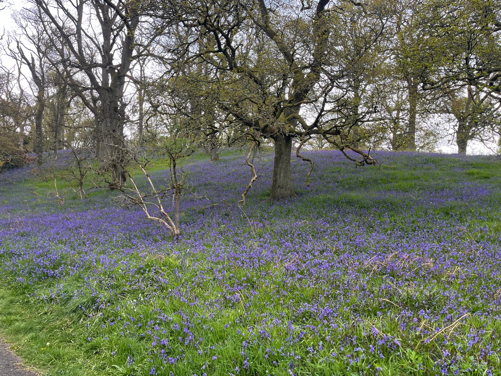
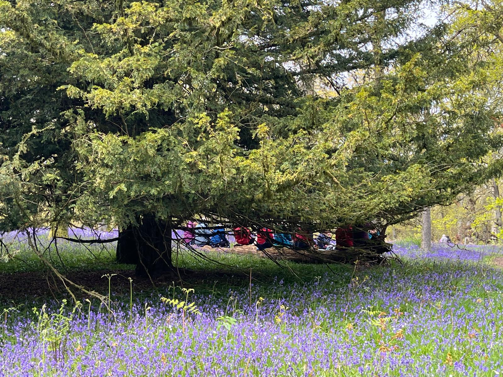
Bluebell Walk - Stanley to Kinclaven (Eleanor)
Take the Luncarty turn off the A9 and after the bends at Stanley turn right on to Percy St and at the end of the road, left on to Mill St.
The walk starts at Linn Road which is off to the right.
What3words : regretted.humble.reviewed
Unfortunately there is no car park but Linn Rd and Mill St should be quiet.
We will walk along an old railway line, take a path through the woods, a bit "off piste", up Court Hill and through to the Bluebell woods.
The walk is 8 miles long and suitable for everyone.
☕🍦🍰 Stewart Tower
What3words : comply.shoebox.handy
To get there head north along Mill St, turn right onto B9099 and carry on out off Stanley. Take first left signed Bankfoot.
After Stewart Tower the road joins the A9 near Bankfoot.
Wednesday 6 May 2026
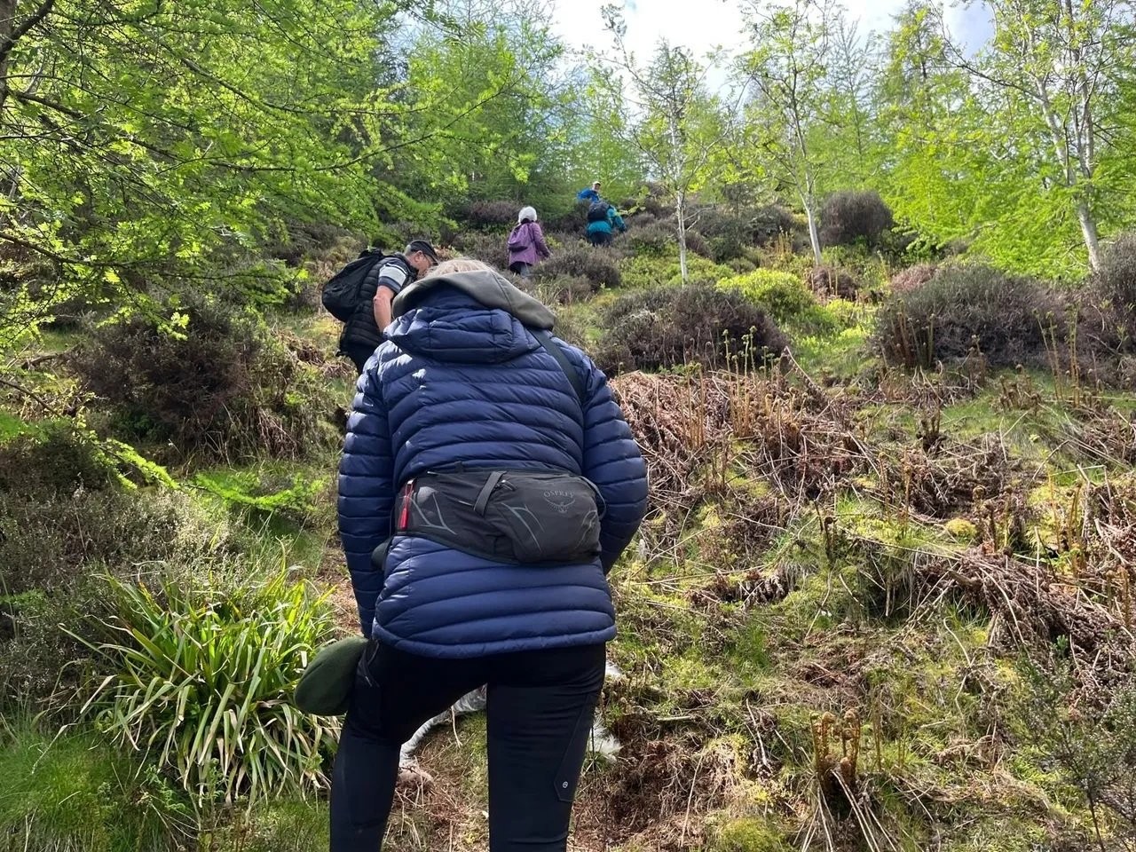
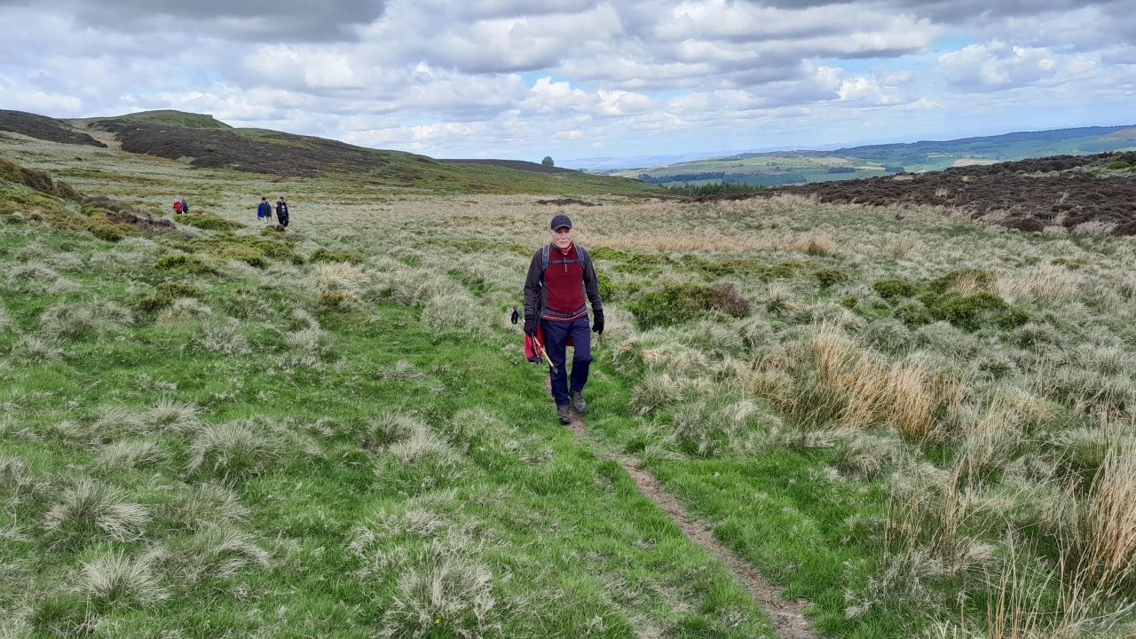
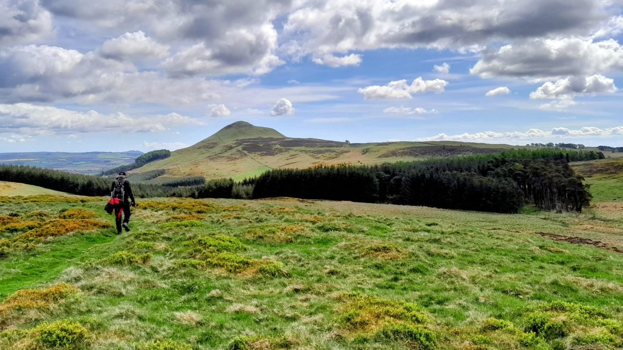
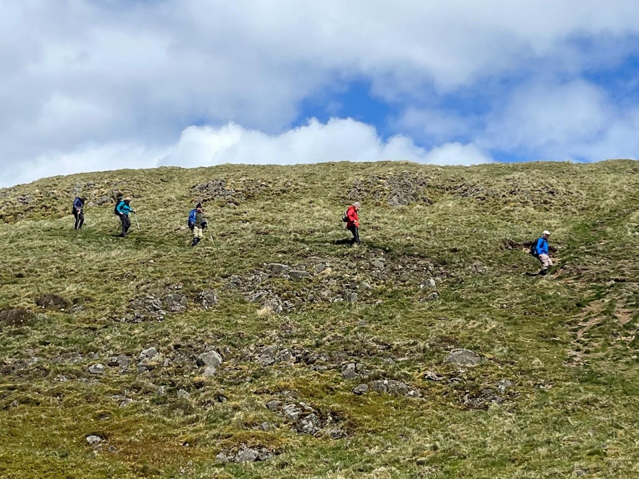
East Lomond (Mitch)
Meeting point: Falkland Estate Car Park on A912 near Pillars of Hercules retail Park.
What3words: dried.organ.homecare.
OS Grid Ref: NO 242 081
The walks commence at 10am.
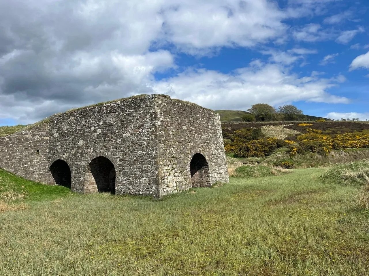
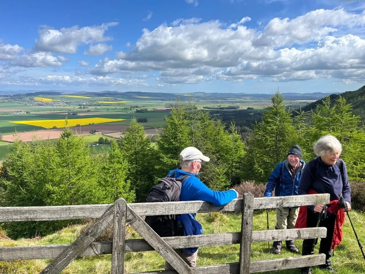
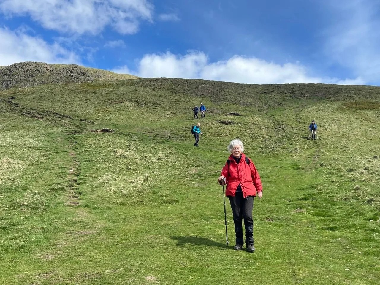
The high walk is from the car park to East Lomond summit via Arraty Den, a small steep climb (10 minutes) up Andy's Trod trail, Maiden Castle and
Craigmead car park before the ascent up East Lomond. Returning via the Old Limekiln and Maspie Den. Approximately 9.25 miles with an ascent of 1,300 feet.
The shorter walk (self guided) is from the car park to Craigmead and return. Approximately 4.25 miles with an ascent of 750 feet.
Alternative shorter walk is the same as high walk until Craigmead car park, then return via Maspie Den. Approximately 6.5 miles with an ascent of 850 feet.
(The shorter walk will be decided by the walkers doing this walk before we start).
If you intend to join the walk please register your attendance on the group WhatsApp on the evening prior to the walk.
Please monitor WhatsApp for any last-minute weather related changes.
☕️🍰 Pillars of Hercules️
Wednesday 29 April 2026
Moncrieffe Hill (Gill)
Walk starts from from Moncreiffe Hill, Perth SOUTH carpark.
Leaving at 10am. Approximately 7.5 miles, with a fair bit of climbing.
What 3 words: tucked.masking.drifting
Postcode: PH2 8QA
Drive through Bridge of Earn & take road on the right. Space for around 7 cars.
Please note there is a North car park but that's NOT where we are meeting.
Wednesday 22 April 2026
AGM
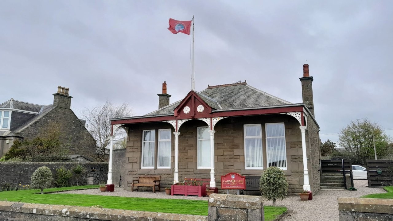
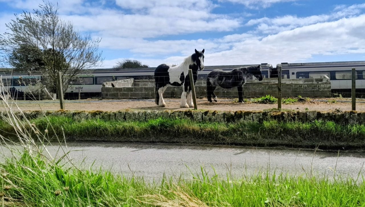
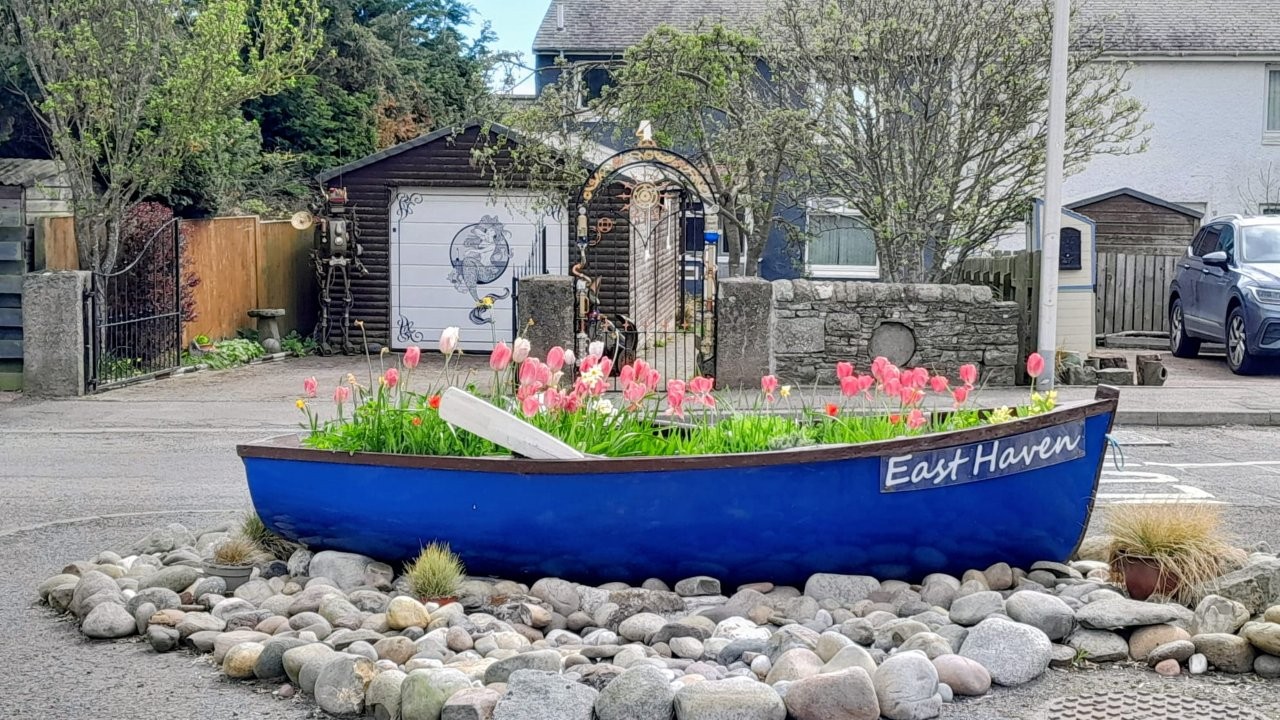
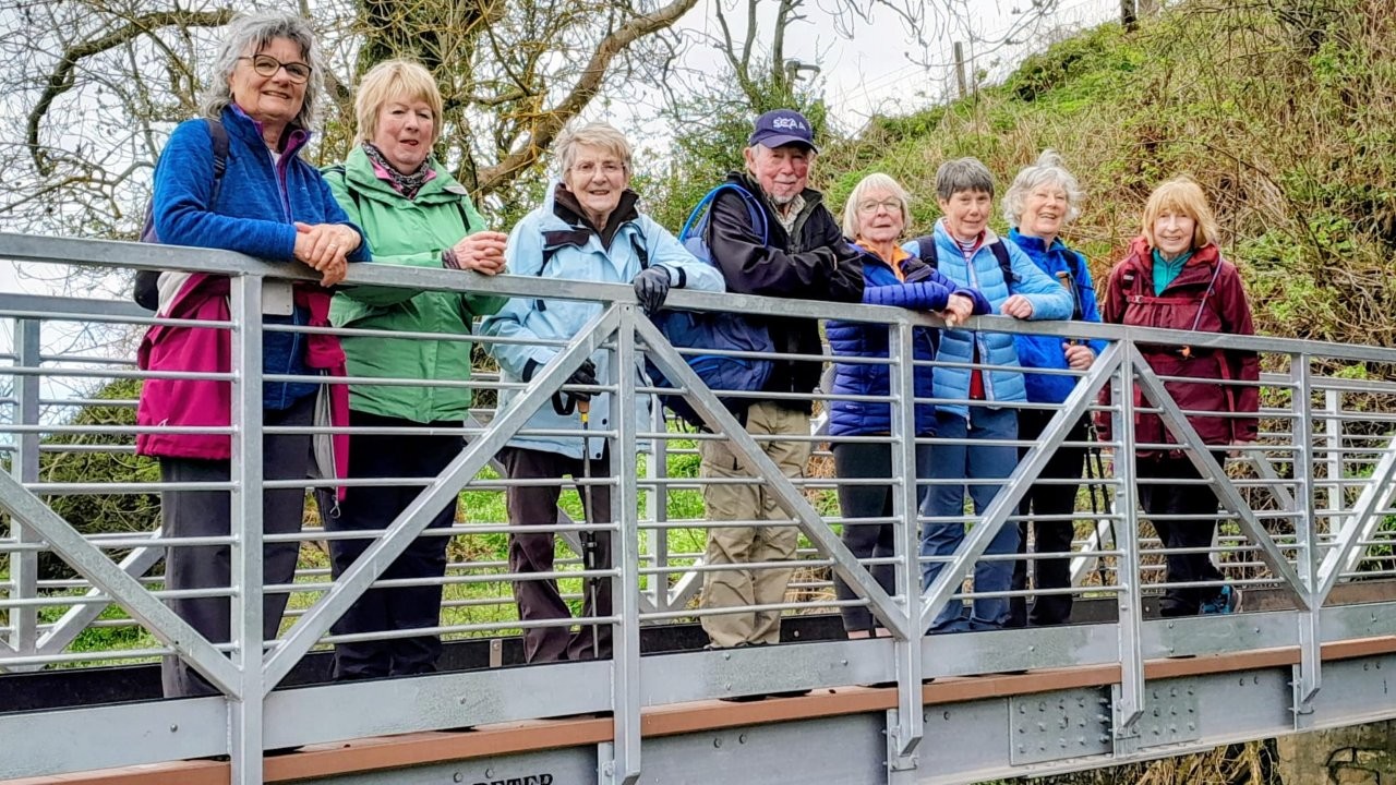
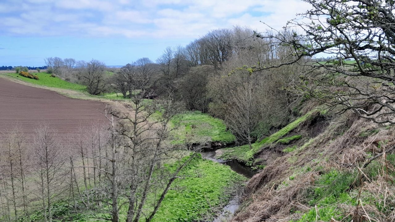
To be held in Carnoustie Ladies Club , Links Parade, Carnoustie at 10 am. Local walk taking in East Haven, Scryne, Fairy Steps & return to Carnoustie to follow.
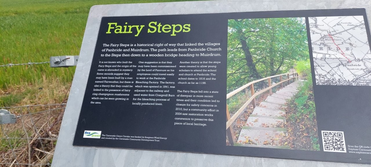
Wednesday 15 April 2026
Gella Circular (Robin)
CANCELLED DUE TO WEATHER
The walk will start at 10am from the Gella Car Park at the south end of Glen Clova. Getting there, take the B955 from Kirriemuir, north through Dykehead
and carry on for a further 2.5 miles to a road junction and take the right hand fork signposted ROTTAL. This takes you downhill and over a bridge,
turn right immediately into the Gella Car Park (200m). The walk goes N along the road for almost 500m and the turns right up the track past Gella
Farm and on to the top of the hill where we turn N and walk along the track, over The Aud (400m) and continue to walk round the head of the glen which
has slowly taken us up to the summit of Craigtharn for lunch. Great views are had from the summit all around and particularly to the north into the Cairngorms.
We descend from the summit westerly to grassy tracks to complete the circuit back to the car park. Approximately 8 miles and 1200ft.
Wednesday 8 April 2026
Collessie/Lindores (Maggie)
Walk starts at Collessie and is approx. 12km (7.5 miles) and 275m (900ft).
Starting point is Collessie Village Hall. What3words: locals.indeed.reactions, OS grid ref 287134
Walk starts at 10am.
Parking is free but donations are welcome (box at entrance). The lady who looks after the Hall has very kindly offered to leave the door open
for us to use the toilets both before and after the walk.
The walk is on woodland paths, farm tracks and grassy slopes with some quiet minor roads.
Please register your attendance on WhatsApp and monitor for any last minute weather changes.
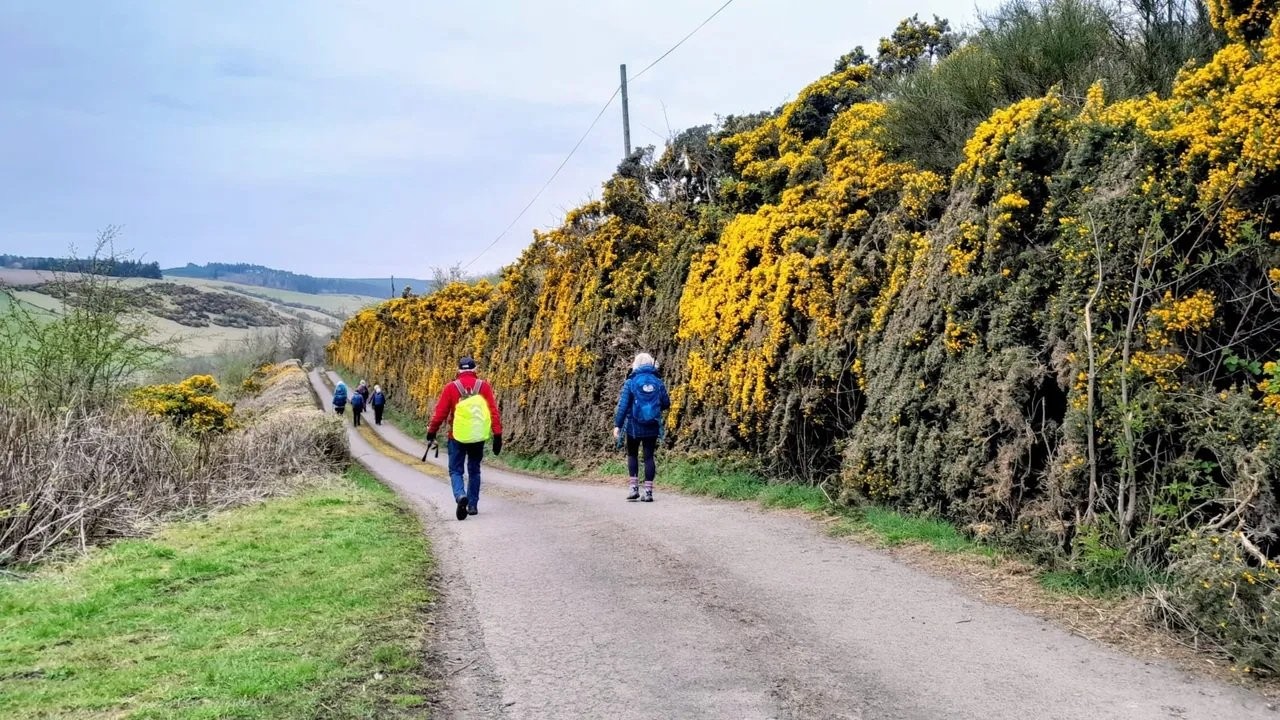
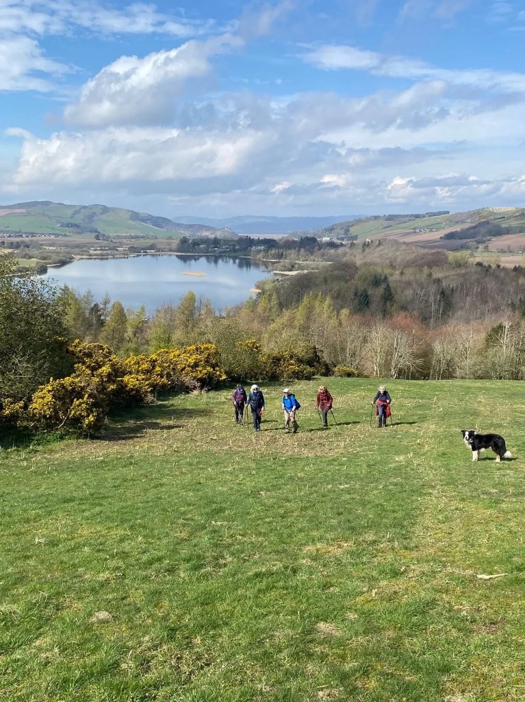
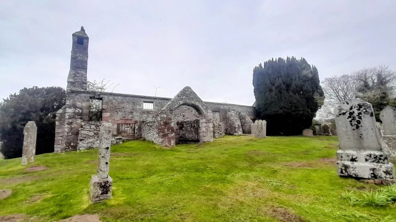
Wednesday 1 April 2026
Glen Esk (Val)
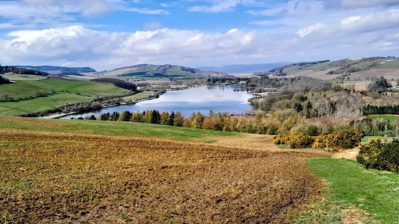
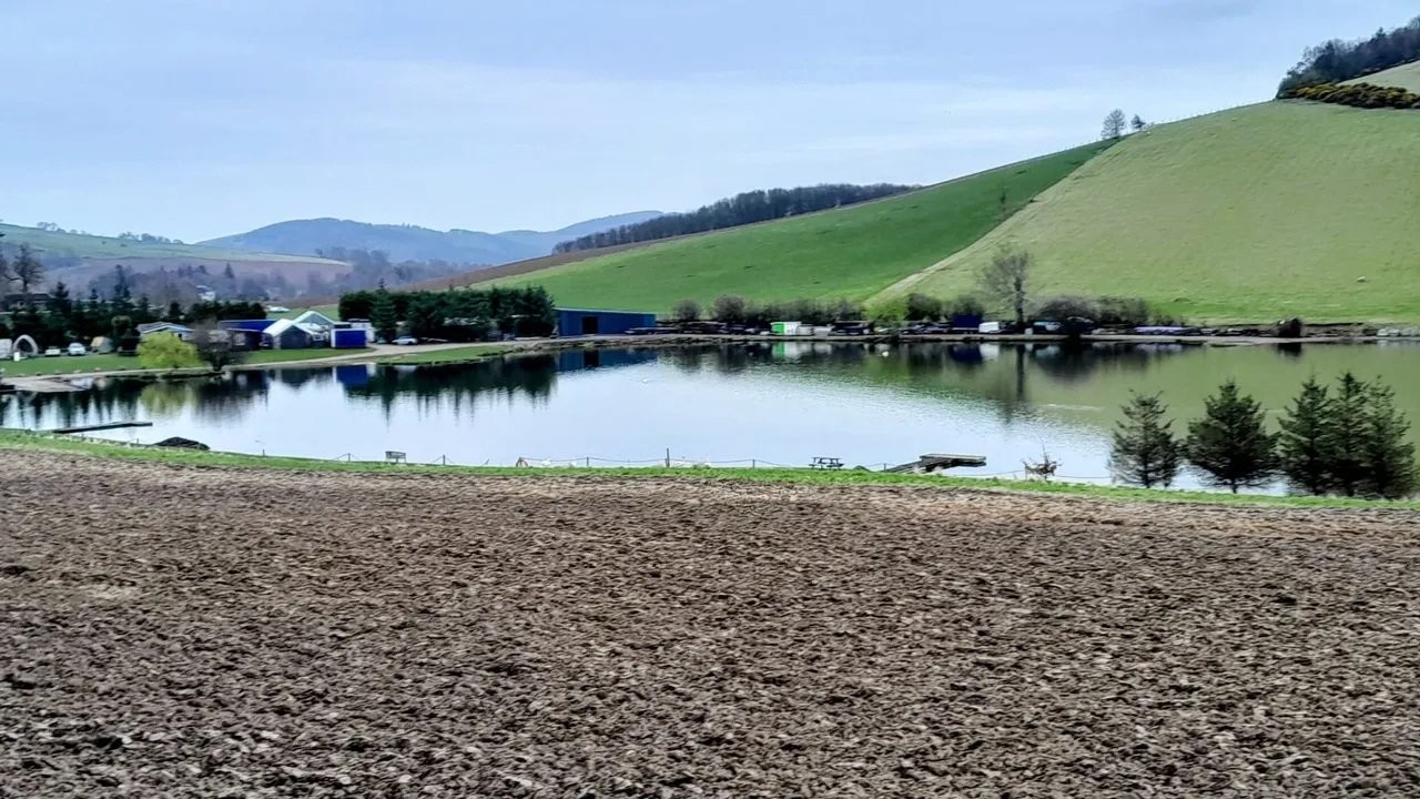
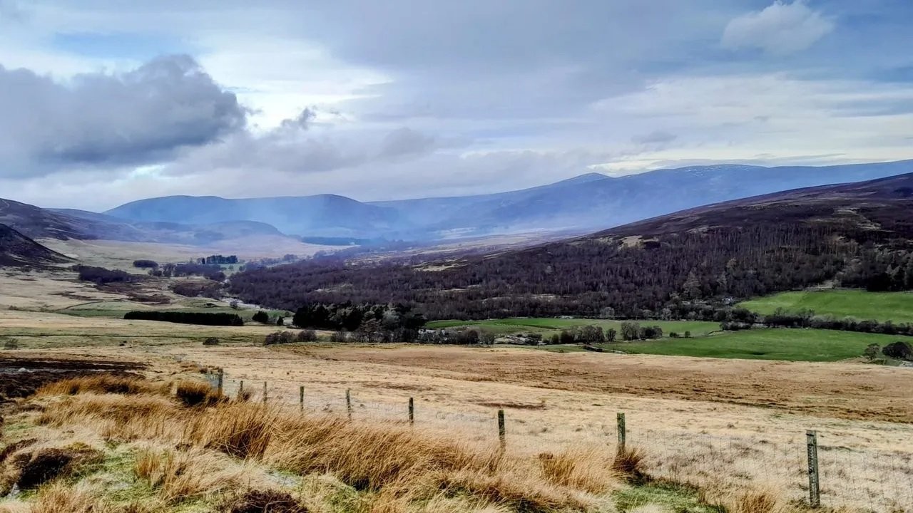
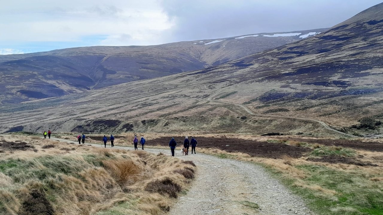
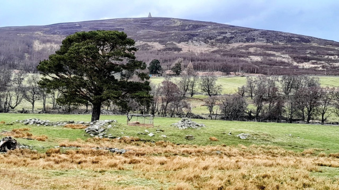
The walk is a circular, starting at Dalbrack Bridge, Glenesk, to Keenie via Cowie Hill and returning by the River North Esk.
Approximately 9 miles with an ascent of 1000 feet.
A shorter self-guided walk is possible from the bridge past Dalbrack farm, Drumgreen and Buskhead along by the river towards Keenie - mileage to suit.
Walks start at 10am.
Meeting point Dalbrack Bridge, Glenesk.
What3words: hedgehog.yesterday.lateral. OS Grid ref: NO 46927836
The toilets at Tarfside may be closed midweek, but are open at the car park in Edzell - honesty box there for the volunteers.
Please register your attendance on the WhatsApp group and monitor it for any last minute weather changes.
Wednesday 25 March 2026
Loch Ordy / Deuchary Hill (Shirley)
Meet at Cally car park just outside Dunkeld at 10am: ///waistcoat.tenure.skin
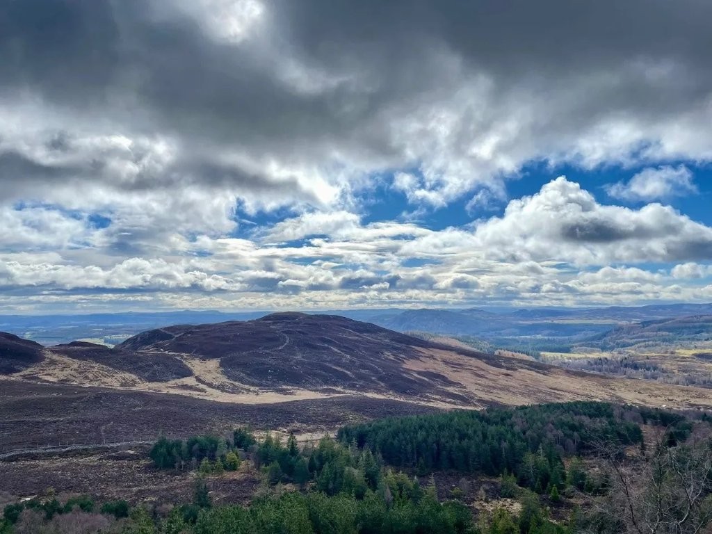
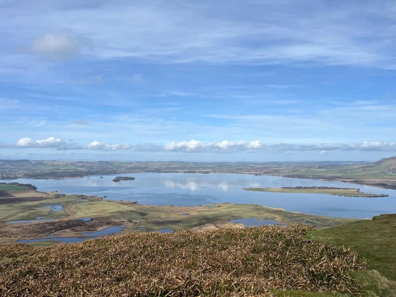
Hi all, walk this week is to Loch Ordie with optional ascent of Deuchary Hill. The Loch Ordie only option is approximately 10 miles with an ascent of 900 feet,
the optional ascent of Deuchary Hill only adds another mile but total ascent is approximately 1500 feet. It is a really lovely viewpoint though on a clear day 😊.
From Cally car park we follow the main track to Loch Ordie until we arrive at Mill Dam where we take the right hand fork to follow the high path
to Loch Ordie. Once we cross a small bridge, those heading to Loch Ordie will carry straight on while those wishing to ascend Deuchary Hill will take the r
ight hand fork which leads to a narrow track up the south side of the hill. This track is a little steep and possibly muddy in places but the reward is stunning
views from the top. We will then descend the north west flank of the hill on a track which is steep initially but then leads gently down to the beautiful
Lochan na Beinne. From there we follow the track down to join the high path to Loch Ordie where we can stop for lunch. The return is by the main track back
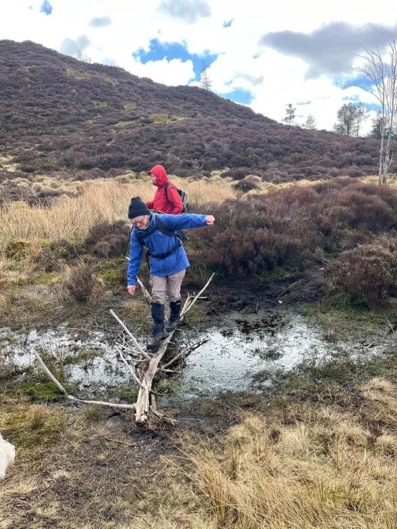
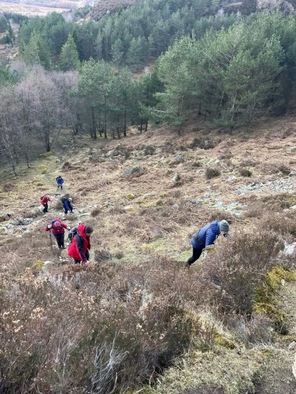
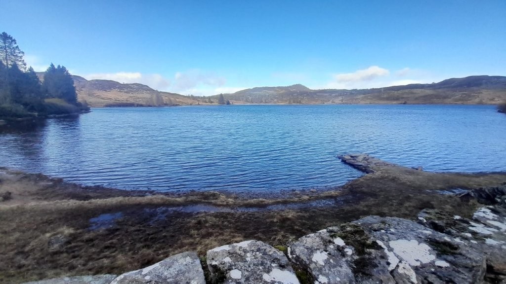
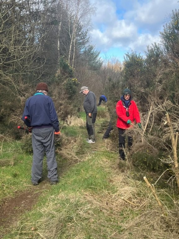
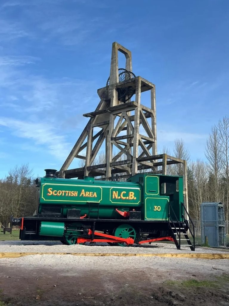
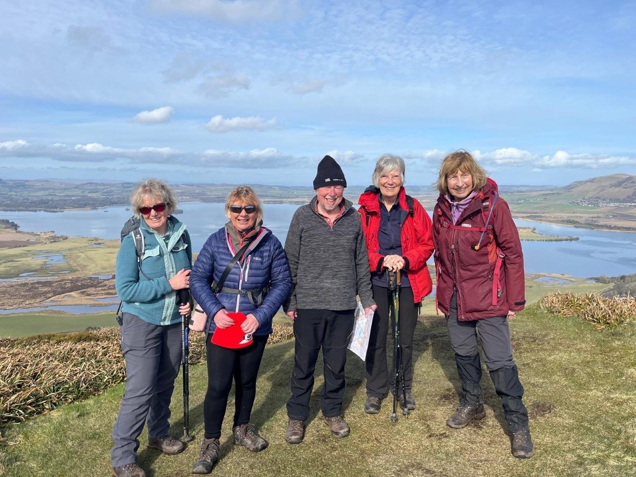
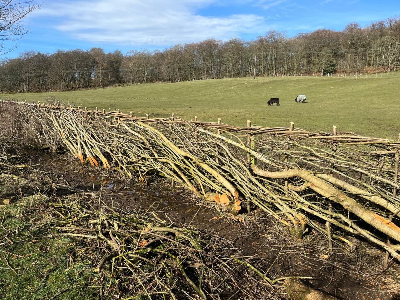
to the car park. Photos of both routes attached to hopefully help the description. Please confirm if you are able to attend and your preferred route.
Wednesday 18 March 2026
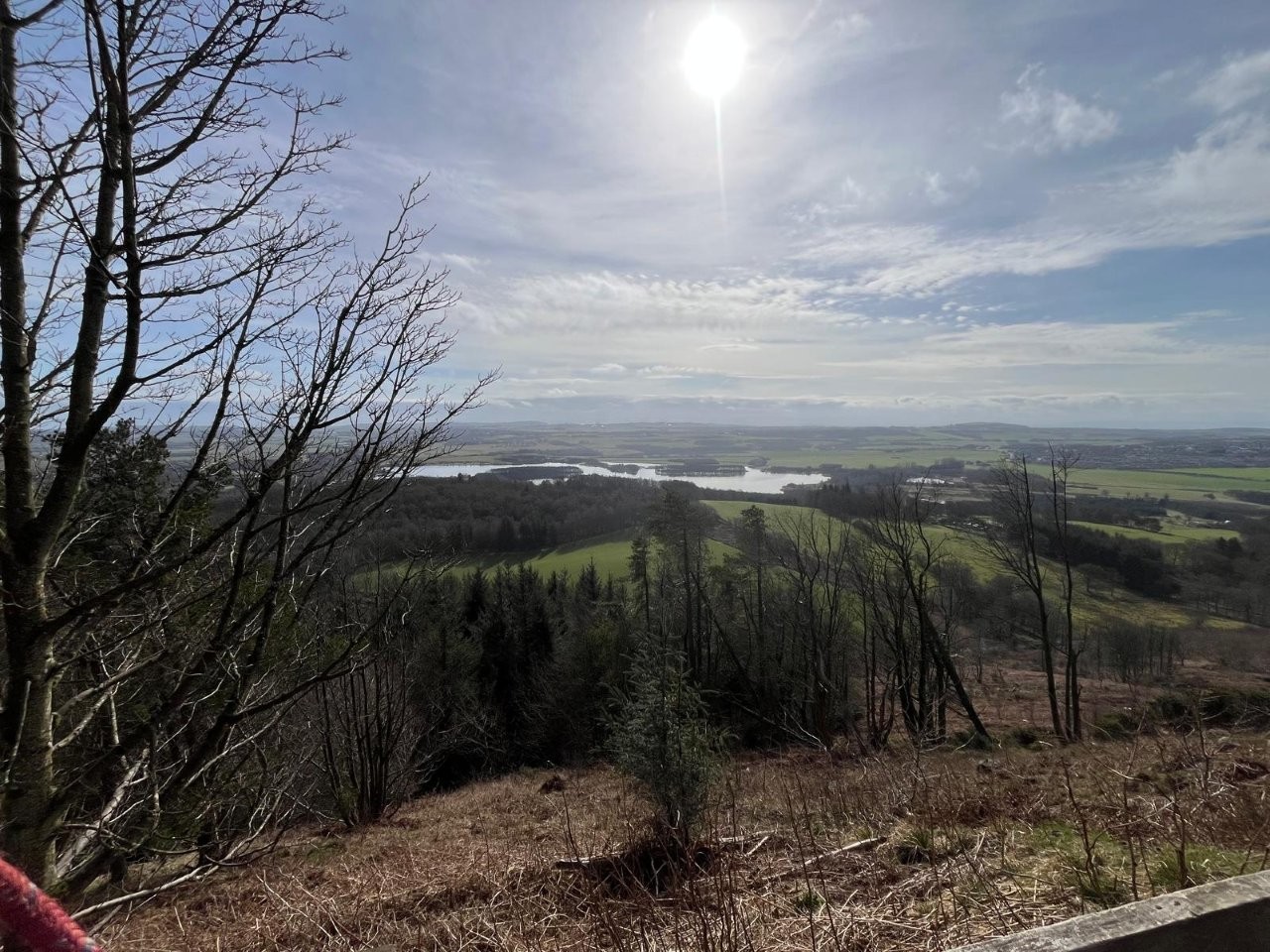
Lochore circular taking in Benarty Hill (Robin)
The walk will start at 10.00 from Loch Ore Country Park, KY5 8BA. The walk will generally take us in a northerly direction from the car park (97m)
through Harran woods and over Harran Hill, (189m), on to the start of the climb up Benarty Hill (356m) for lunch. Benarty is one of three/four tops
that form a small range of hills that skirt the south shore of Loch Leven. The north flank of the range is considerably more challenging than the southern
flank which we will be on. The return route will primarily be decided by the weather on the day.
Getting there! The entry to Lochore Country Park is
at the south end of Main Street B920 in the Village of Crosshill at a roundabout and at the end of the built up area. Ballingry and Crosshill are adjoined.
From the M90 leave at Jnc. 5 and turn left from the slip road on to B9097 in 100m turn left onto B996 and then turn right onto the B9097 which will take
you along the south shore of Loch Leven to a junction just passed the end of the loch turn right and at the next junction, 500m further on keep right when
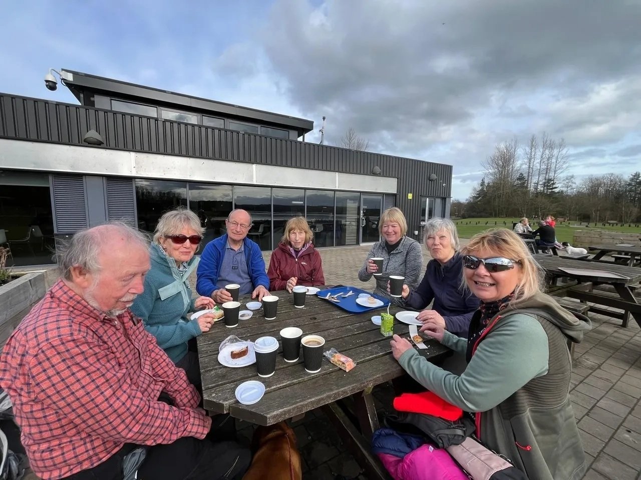
you will be on the B920 and will enter Ballingry (no name plate). The café in the park. I would suggest is ideal to fortify your driver for the return journey
and may be appropriate to grab a bacon roll on arrival.
Distance 8.5 miles, Ascent 1230 ft
Wednesday 11 March 2026
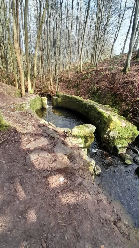
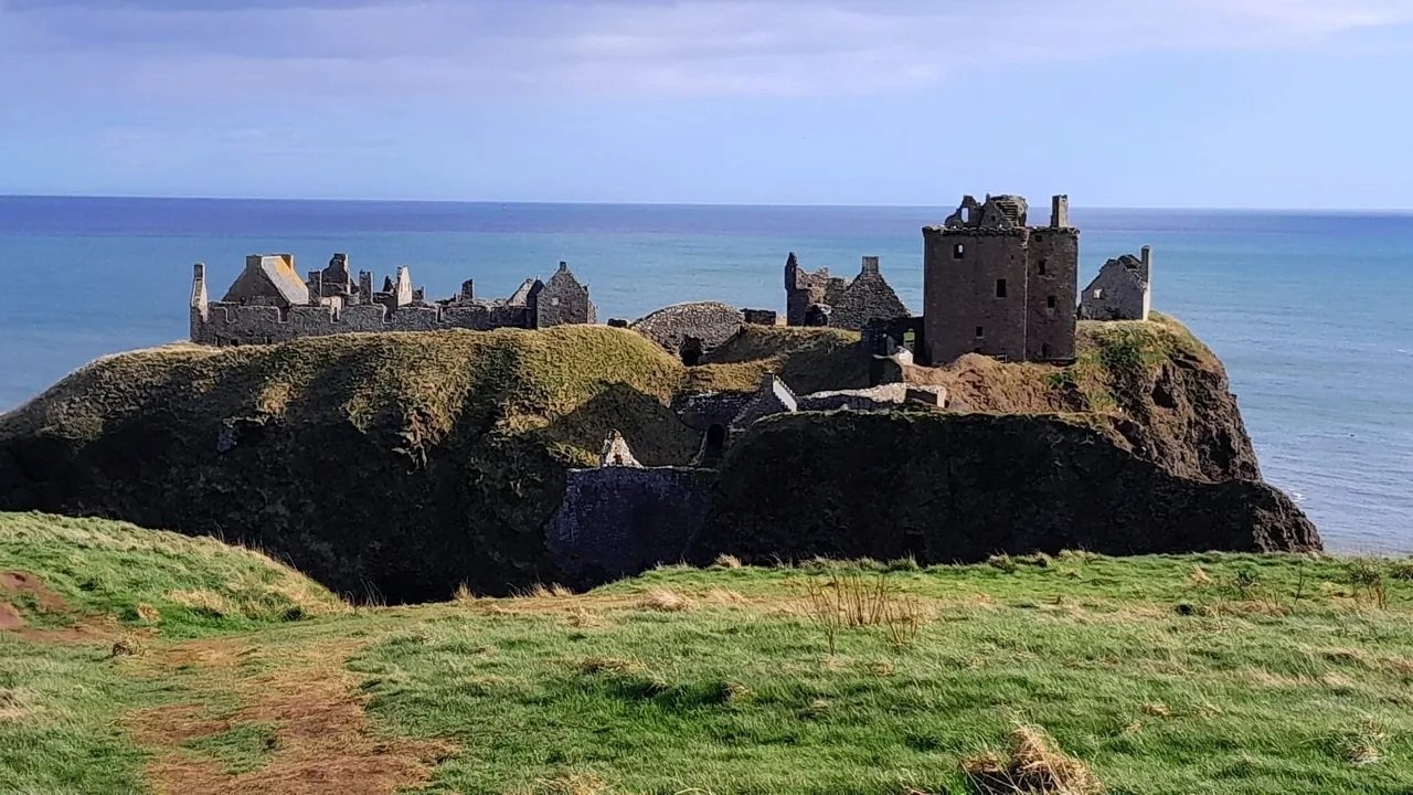
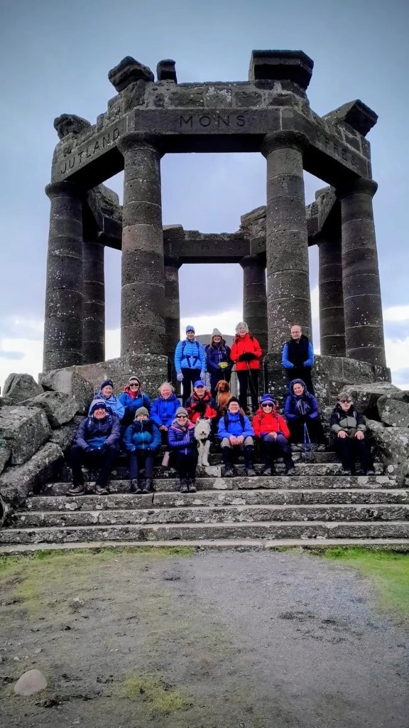
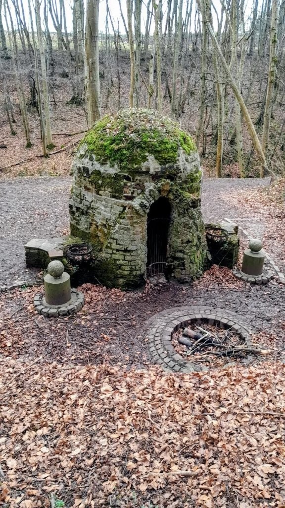
Stonehaven to Dunnottar and return (Eleanor)
The walk will be based around Dunnottar Castle at Stonehaven. We will park in the castle car park, what3words ///dressing.whisk.test, and be ready to
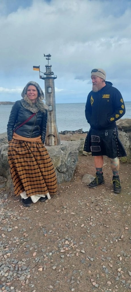
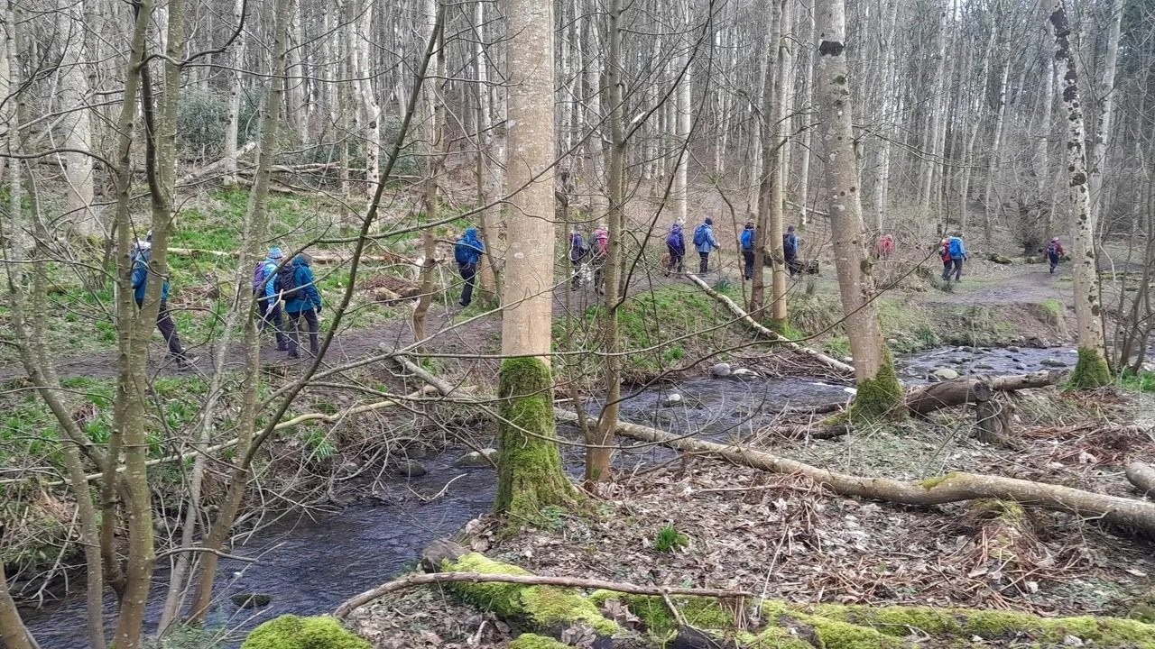
begin walking at 10am. We will first head towards and then explore Dunnottar Woods then head towards Stonehaven where we will walk the board walk
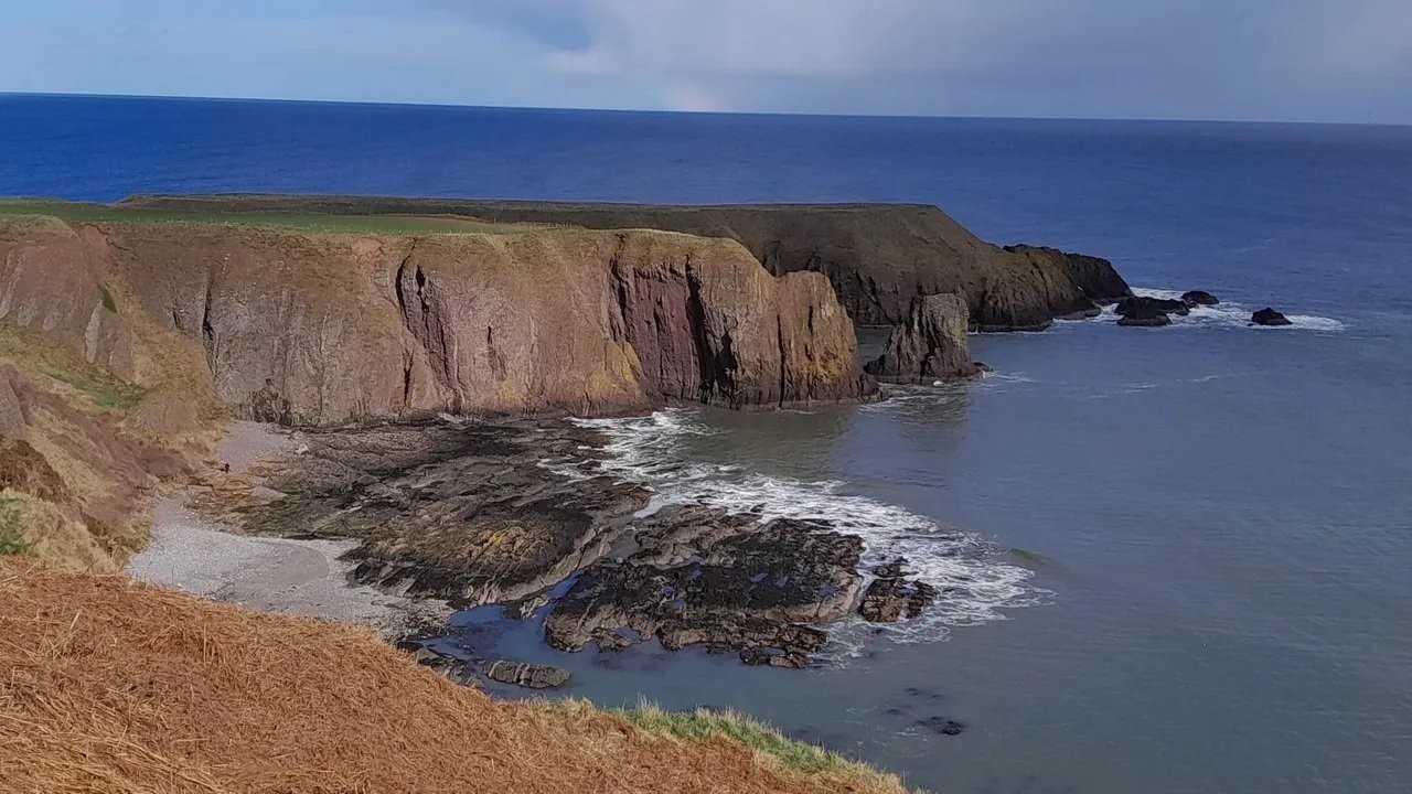
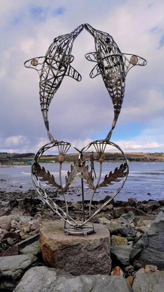
and admire the sculptures by Stonehaven 's "Banksy." After lunch on the seafront we will head up the cliff and walk to the castle.
Distance is approx 7/8miles with an ascent of around 450 feet.
The walk should be suitable for everyone but if required the Stonehaven section can be omitted by continuing up the cliff on the gentler path
and lunching at the harbour viewpoint.
Hopefully we will finish by 3pm in time for refreshments at the kiosk in the car park.
Wednesday 4 March 2026
Newtyle circular (Shirley)
Might have to adapt route on the day depending on forestry works and cows but the plan is to meet at
Newtyle park car park at 10am.
What3Words: ///darting.crumple.generals.
If this car park is full there’s usually parking available nearby on the streets of Newtyle.
From the car park we’ll head west along North Street, cross the Dundee Road then west along the Coupar Angus Road until sign for Water Backie path, I think,
could just say Newtyle Path Network. I walk there most days but never look at the signs 🤦♀️ This path heads briefly south under the old rail bridge then
we ascend some steps to reach the railway loop path where we turn right. After crossing the bridge over Coupar Angus Road we stay on this path until another
short flight of steps on the left to cross another bridge over the railway path. There used to be a railway round these parts apparently 😆 Anyway from here,
the plan is to head up one of the fields into the woods above Kinpurney house to pick up the main hill track. There is forestry work ongoing but tree surgeon
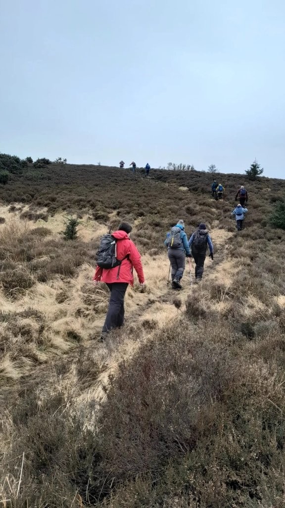
I spoke to today said main track up the hill should remain accessible. We follow the main path uphill out of the woods onto the open hillside where, on a good
day there are fabulous views over to Kinpurney hill in the east and as we ascend higher, views north over the Strathmore valley to the Angus Glens and Grampians
beyond. Still on this main track we keep right where it levels out before reaching a red gate. We go through this gate and turn left, south, to follow the path
to the top of the ridge. On a clear day there are fabulous views over Long Loch below and the Lomond Hills beyond. We turn right, west, to head along to Privys
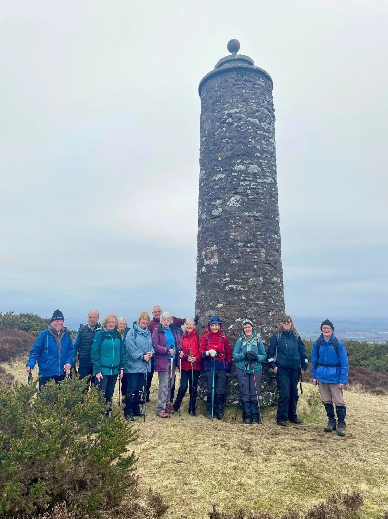
Prap, also known as the McKenzie monument. We can pause here for snacks or lunch to take in the views or keep going to get out of the wind and rain. Hopefully
not the latter. For those just wanting a short walk, the option would be to return to the car park by the same route self guided. For the rest we continue
west along the track until we get to a gate. The route from here is a bit convoluted to avoid the bog which I’m keen to avoid having got up close and personal
a couple of times before. 😆Long story, short we end up on the main track up from Hallyburton where we head up to the summit of Westerkeith hill which is marked
by a trig point. Fantastic views again from here. Aiming for lunch here if weather ok and we haven’t eaten it already. We then take the smaller path east from
the summit which drops down towards Long Loch then skirts the hillside on the north of the loch to take us back up towards the Prap. The path is not well defined
in places and a bit boggy but nothing major. We may encounter cows on Westerkeith hill as I have noticed they were up there today so route may have to adjust
to avoid them. Assuming all good, once we arrive back at the Prap, we’ll head east following the main track as far as the path we took up, option to descend here,
or go through the gate ahead to carry along the ridge. This is worth doing on a good day as the views are fabulous. Did I say that already 😆Approximately a mile
or so along this path we leave it to take a narrow path through the heather. Easily missed so best stick together. We follow this path, basically a deer track
down into the woods known locally as the Birks. This path is not obvious in places so again best to stay together if you don’t know it. Once in the Birks
we have the option to visit the Priest’s Cross with a short detour west, otherwise we’ll head east following the path which again is a bit circuitous due
to storm damaged trees. We’ll then reach and descend Jacob’s Ladder (steps) and turn left, west, to pick up an older part of the railway loop. Once we reach
a gate we have the option to carry on the railway loop to pick up and retrace our steps or to drop down track into Newtyle village. Once back at the car park
we could head to the local pub for coffee and cake or drive 5 minutes along to Meigle which has more eatery options.
Total walking distance approximately 8 miles or 4 miles if doing the Prap and back. Elevation gain for longer walk about 1,000 feet. Sorry if this is too much detail!
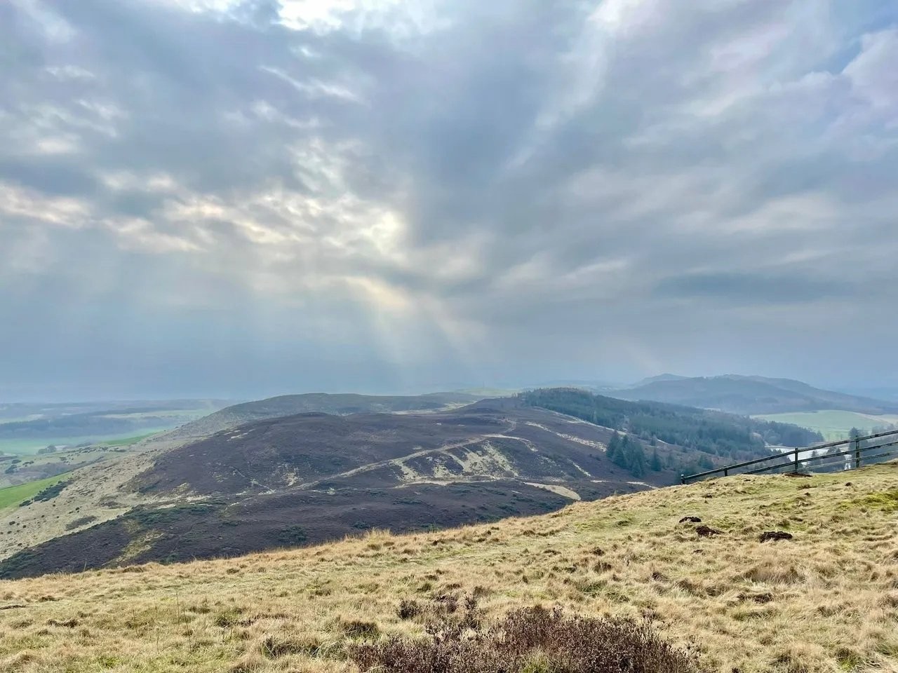
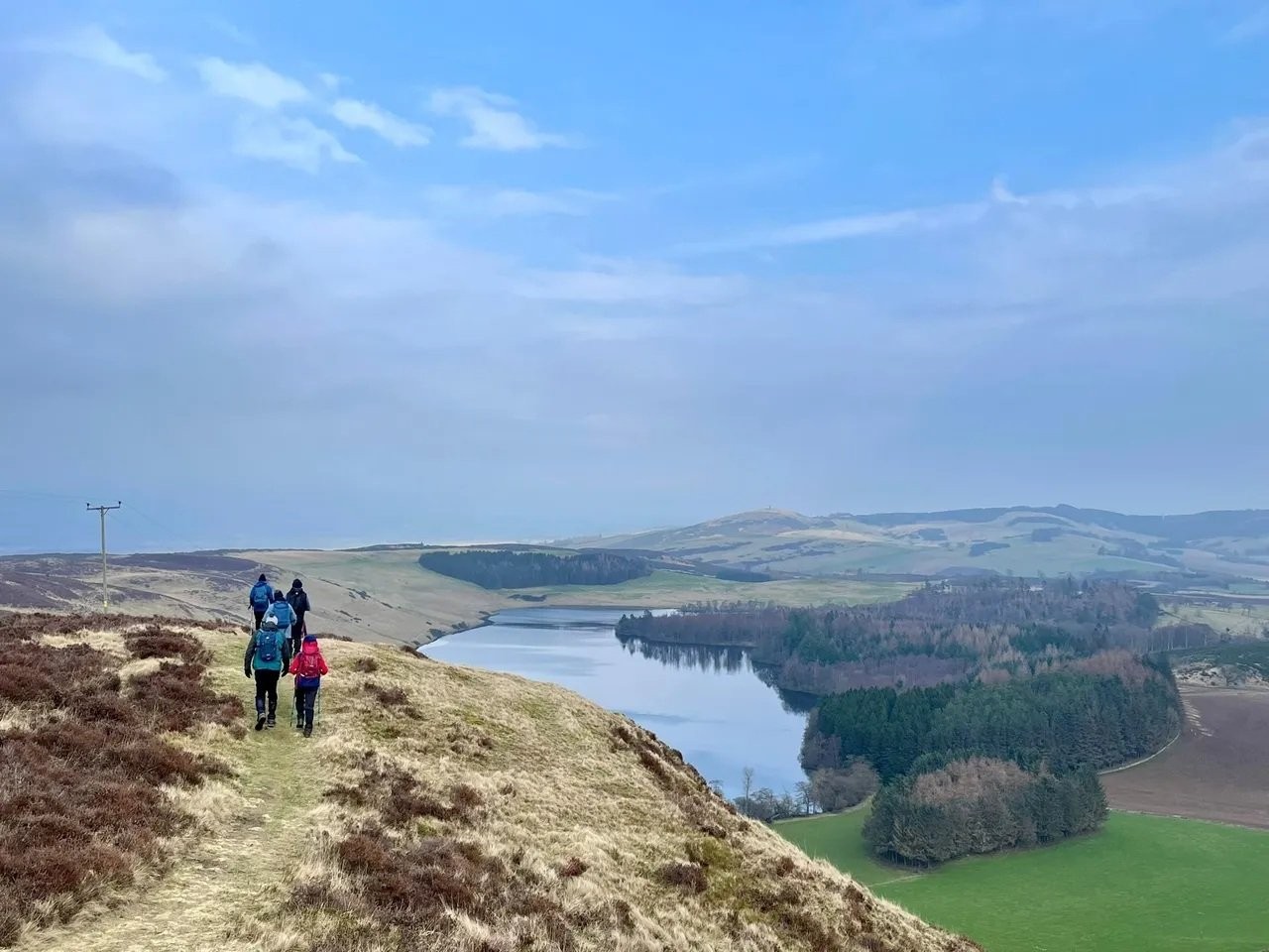
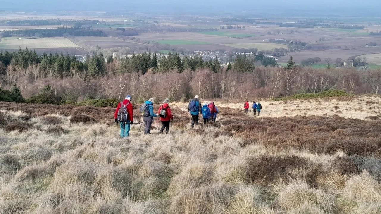
Anyway hope to see those of you who can manage next Wednesday 😊
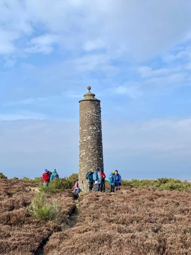
Wednesday 25 February 2026
Boarhills to Crail
GRAB YOUR BUS PASS.
Drive to St Andrews and follow signage for Crail on the A917. On reaching Crail there is a roundabout in front of the Golf Hotel, take the first left
and you will find ample parking on both sides of the road. Park and prepare to leave. We must be ready to leave on a service bus No. 95 that leaves Crail
at 09:45 which will take us to Boarhills, approximately a 15 minute journey. (Please note that this bus is an hourly service)
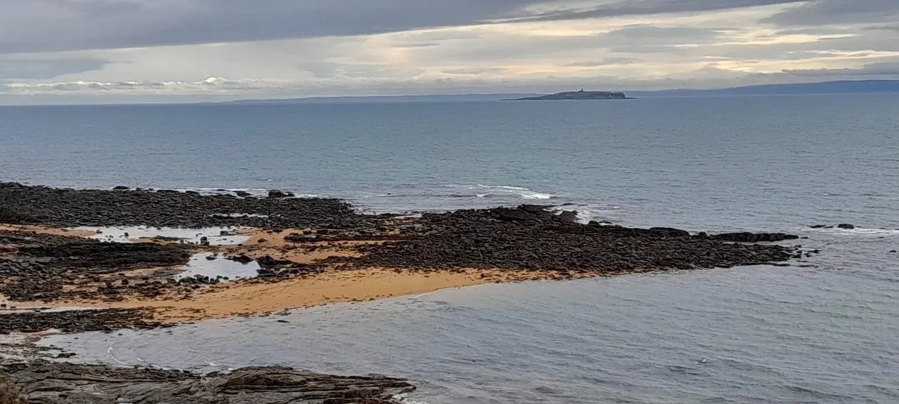
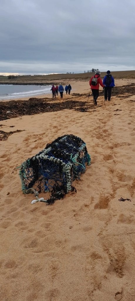
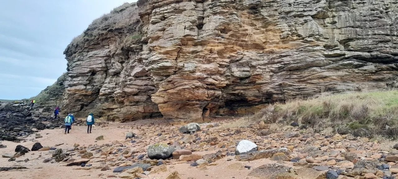
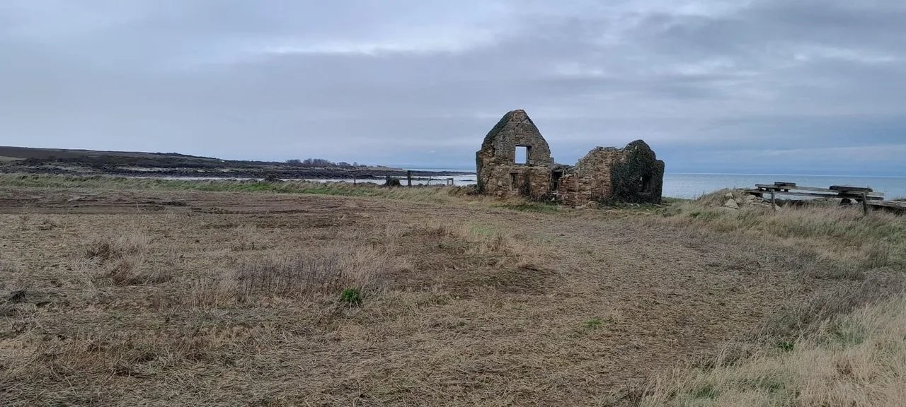
From Boarhills we walk down to the beach and continue down the coast to Crail.
Maggie will also take a shorter walk which will take a track down to the beach from Kingsbarns and follow the coast back to Crail.
Both walks are very pleasant and are 8.5 miles and 6 miles respectively. We will probably have refreshments at Balgove Larder just north of St Andrews.
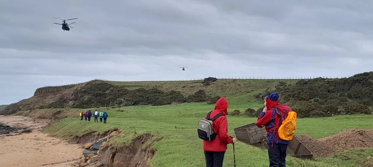
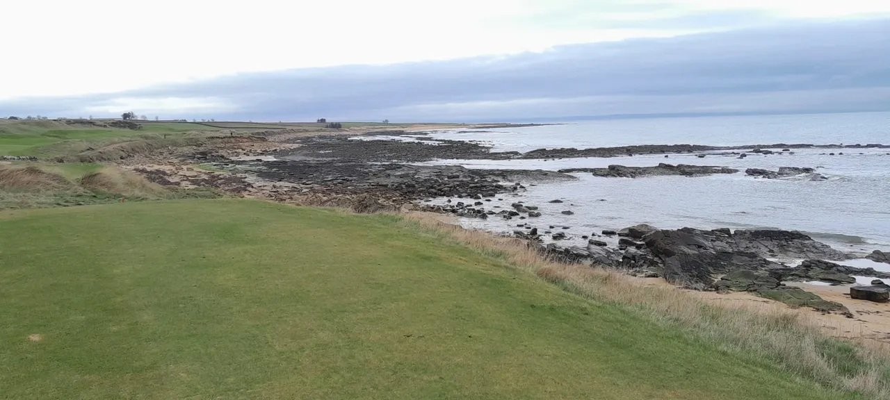
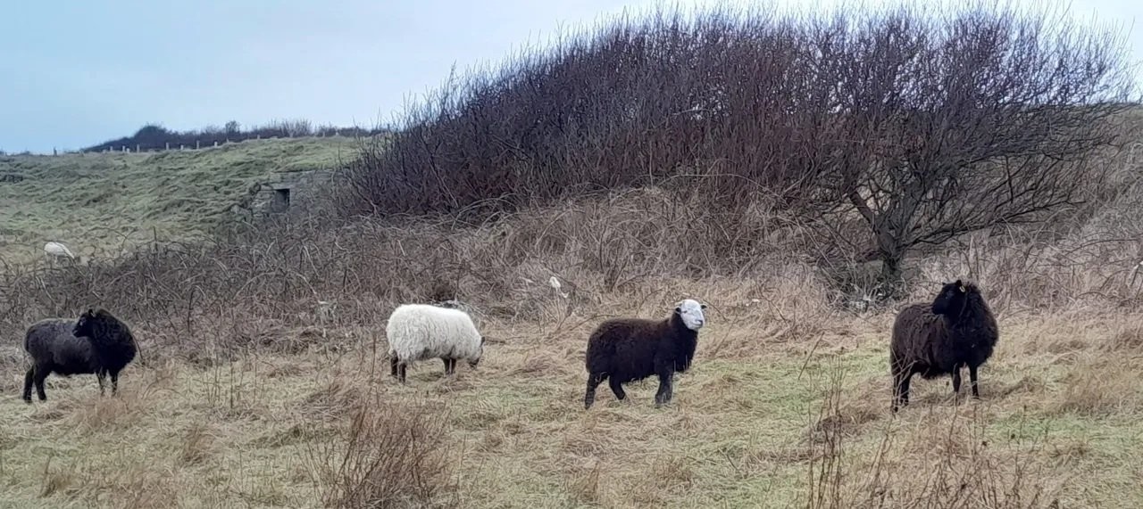
Wednesday 18 February 2026
Glenduckie Hill from Newburgh (Mitch)
Starting point: Newburgh recycling point car park, Cupar Rd opposite petrol station.
What3words: rezoning.fanfare.pine, OS Grid Ref: NO 240 182
Walk commences at 10 am.
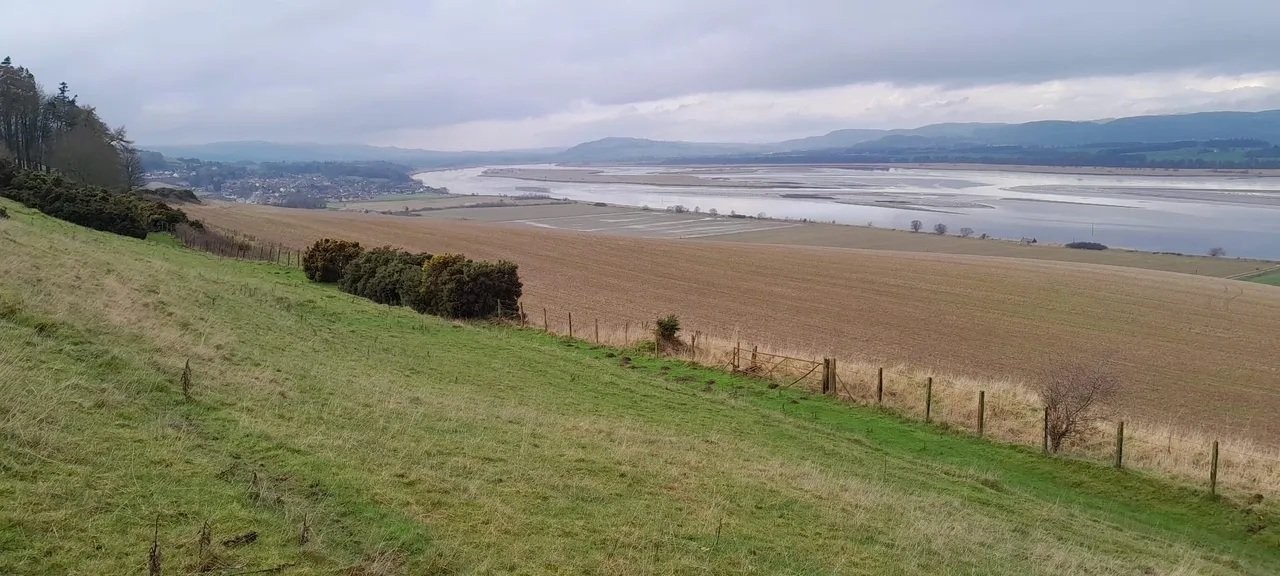
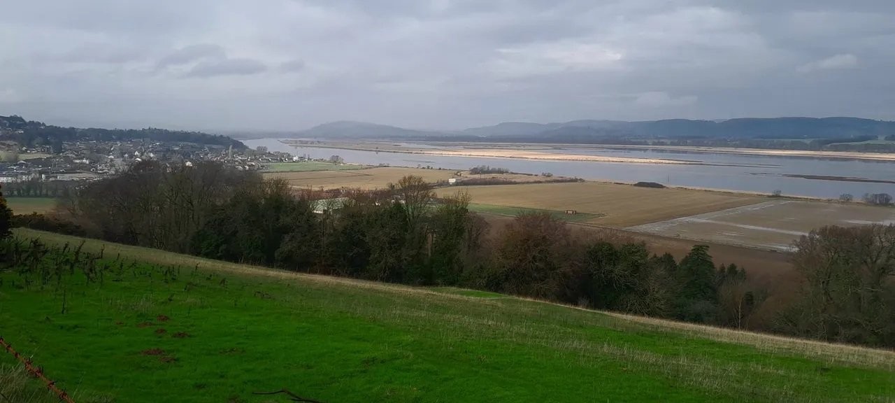
We walk past the Abbey Distillery to take the Fife Coastal Path until we go around Glenduckie Hill, then take the track to Glenduckie and Old Higham
to rejoin the Coastal Path back.
Approximately 8.25 miles with an ascent of 900 feet.
If wished, a separate shorter out and back walk can be done.
If you intend to join the walk please register your attendance on the WhatsApp group on the evening prior to the walk.
Please monitor WhatsApp for any last minute weGlendather changes.
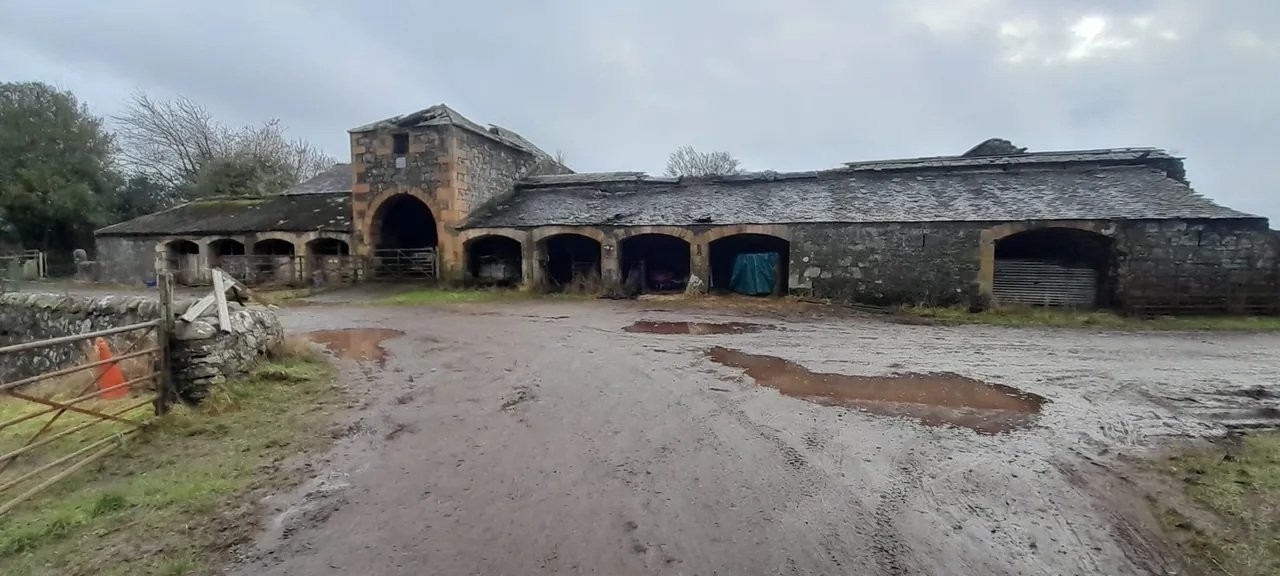
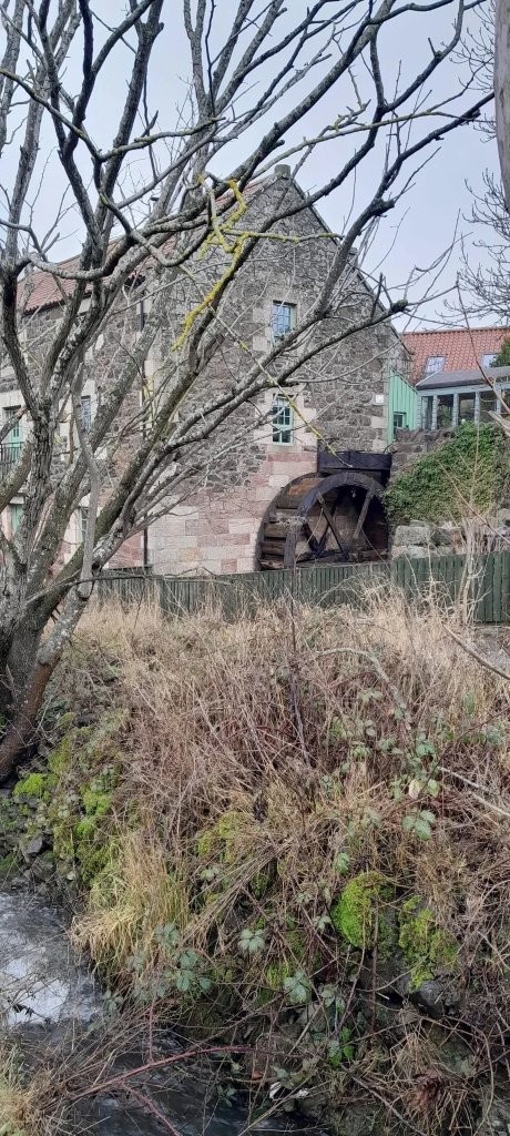
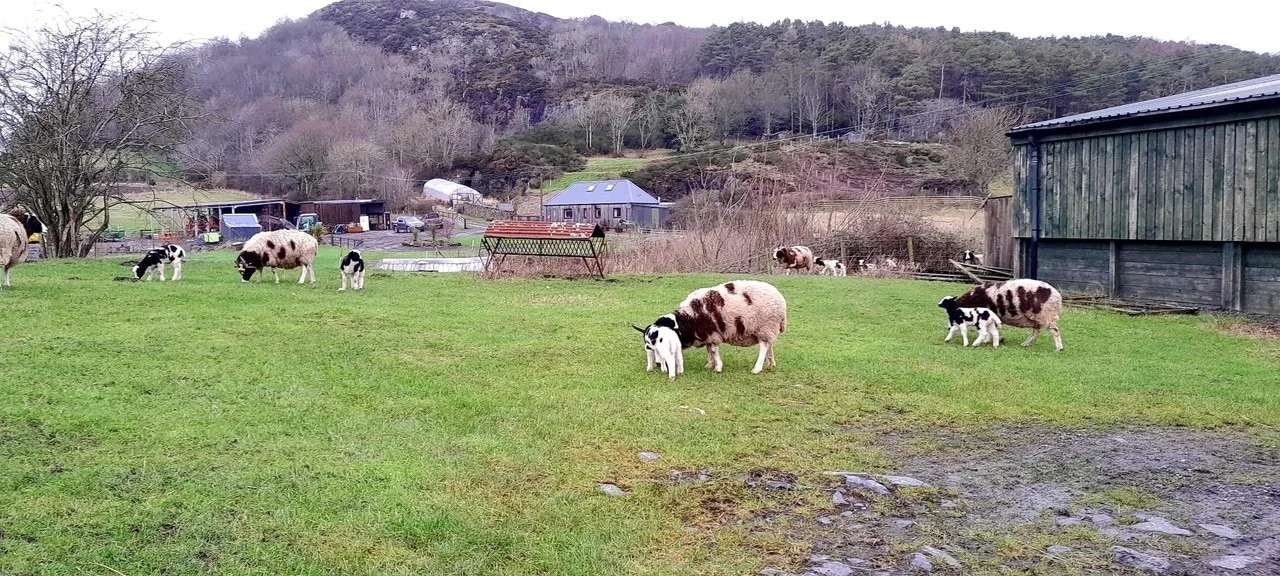
Walking notes: Walk through the field with the usual 3 horses on the Coastal Path and no surprise, it's a bit muddy in places 😂
☕️🍰 The Buttercup Café, at petrol station.
Wednesday 11 February 2026
Boarhills to Crail, and Kingsbarns to Crail.
CANCELLED - due to weather
GRAB YOUR BUS PASS. Drive to St Andrews and follow signage for Crail on the A 917. On reaching Crail there is a roundabout in front of the Golf Hotel, take
the first left and you will find ample parking on both sides of the road. Park and prepare to leave. We must be ready to leave on a service bus No. 95 that
leaves Crail at 09:45 which will take us to Boarhills, approximately a 15 minute journey. (Please note that this bus is an hourly service)
From Boarhills we walk down to the beach and continue down the coast to Crail.
Maggie will also take a shorter walk which will take a track down to the beach from Kingsbarns and follow the coast back to Crail.
Both walks are very pleasant and are 8.5 miles and 6 miles respectively. We will probably have refreshments at Balgove Larder just north of St Andrews.
Look out for a weather update late afternoon on Tuesday.
Wednesday 4 February 2026
Hill of Rowan, Glen Esk (Lesley)
CANCELLED - due to weather. Parking at Tarfside as in walk report. See link here (to Walk Highlands), Hill of Rowan, Tarfside, Glen Esk. Will meet at car park at 10am as usual and coffee and buns at Sinclair's larder in Edzell afterwards. Hopefully the weather will be kind to us, looking forward to seeing you all.
Wednesday 28 January 2026
Crieff Circular/ Glen Turret (Robin)
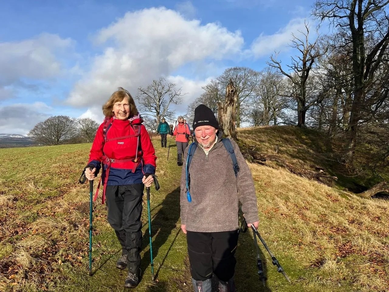
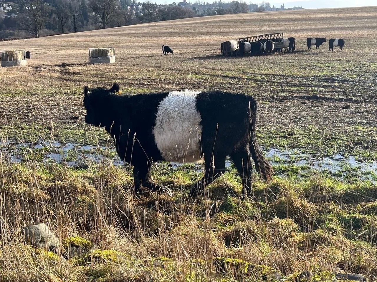
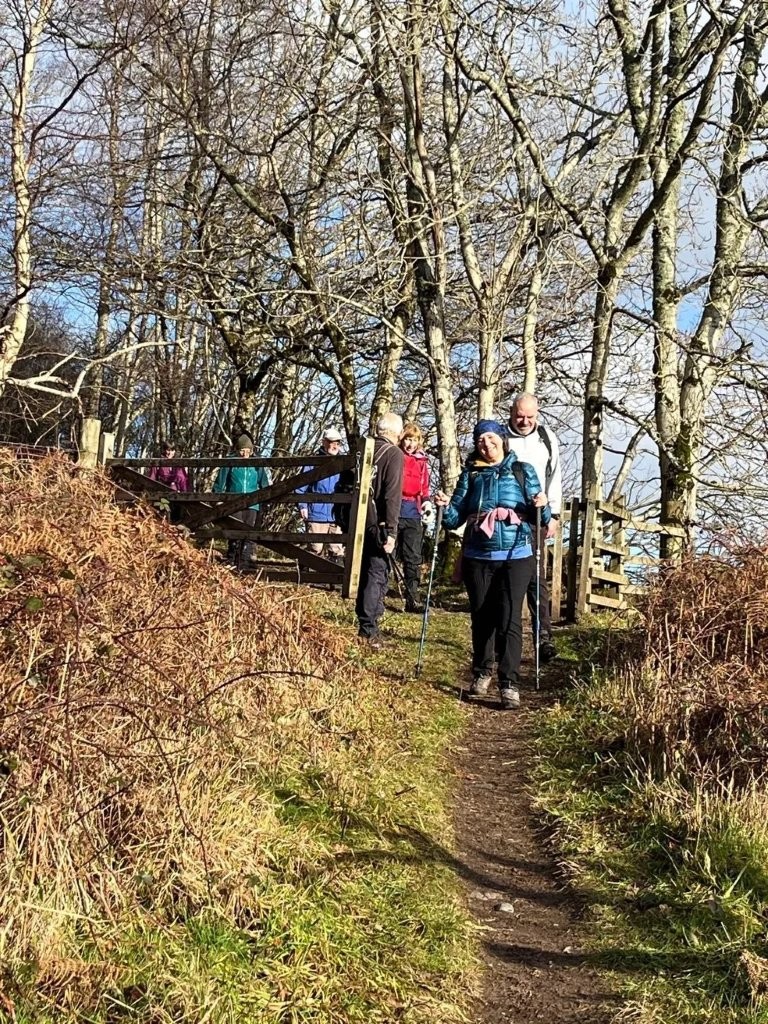
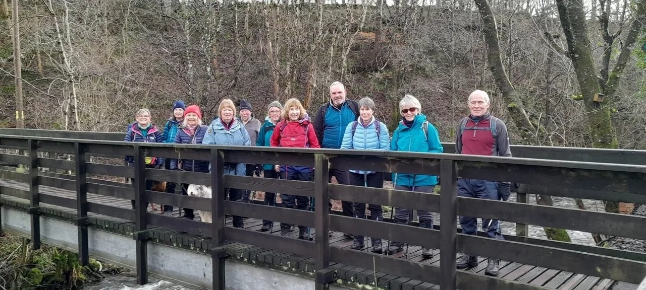
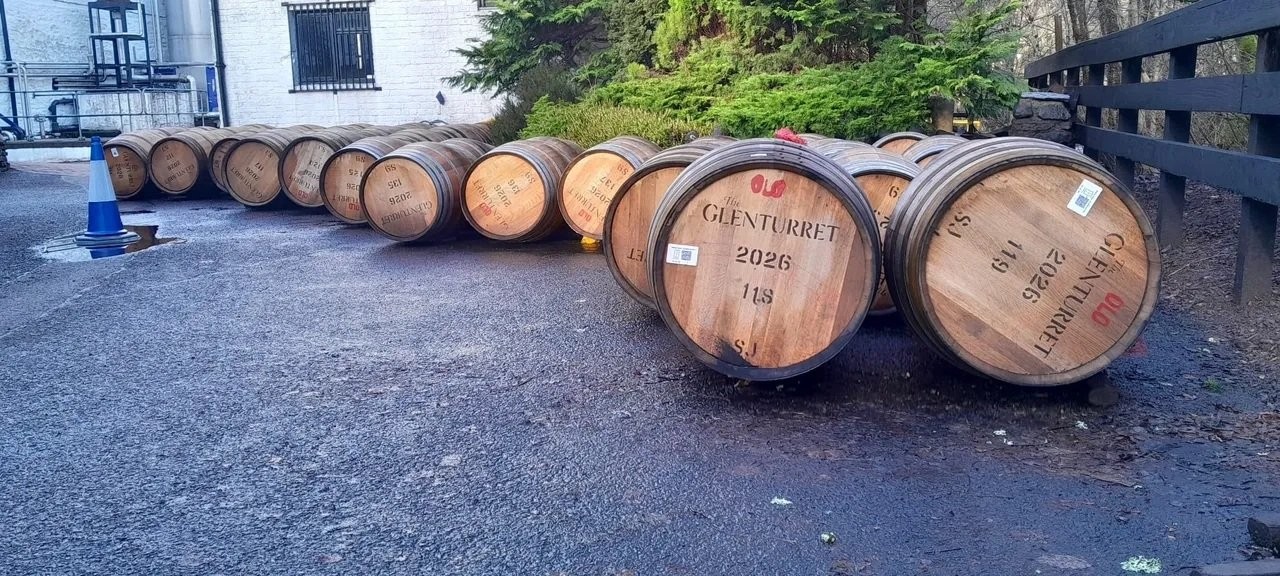
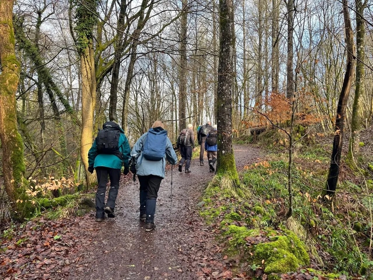
The walk starts at 10am from McRosty Park in Crieff. Recent inclement weather has prevented a recce of the walk which leaves McRosty park and follows the Barvick Burn north out of town and we leave having reached the Glen Turret Distillery. The route then climbs a few metres up the hill behind the Distillery where we have usually had a bite of lunch basking in the aroma from the few million litres of maturing nectar. The walk then passes the Crieff area allotments and descends to cross the A85 where we pass a few houses on the NW fringe of town and turn right heading west into farm land leading to the River Earn and Lady Mary`s walk on the riverside back to Crieff`s McRosty Park. The weather for the next week looks very poor, however we`ll hope it changes for the better.
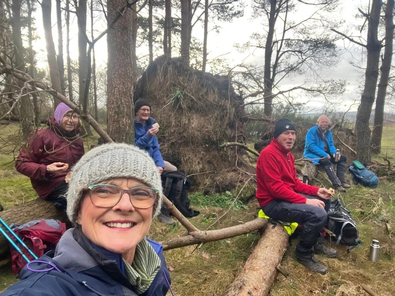
Wednesday 21 January 2026
Rait Circular ( Gill)
CANCELLED - due to weather.
Starts & finishes at Rait Antique Centre, PH2 7RT
what3words soup.nylon.miles
Set off at 10am- ample parking & WC facilities to the side of the Antique Centre.
Approx 10 miles, ascent 1610ft.
We head South from the car park, turning left at the signpost B9543 to Franklyden.
We will pass many points of interest including reservoirs.
A shorter/self guided route is available around the village.
Pack picnic, however refreshments are available by the wood burning stove inside the Antique centre café once
we return to our vehicles.
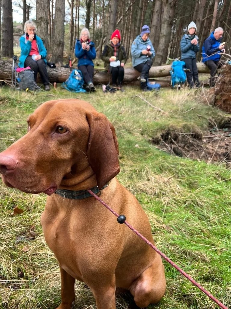
Wednesday 14 January 2026
Springfield Woods near Cupar
Starting point: Car Park near Springfield Parish Church. What3words: partly.fault.blogs.
Walks commence at 10 am.
The longer walk from the car park goes to Crawford Priory, Pitlessie, Gravel Pits, Seethome and returns to the car park.
Note: padlocked gate to climb over. Approximately 8 miles with an ascent of 200 feet.
A shorter walk takes the same route but omits the Gravel Pits diversion. Approximately 5.25 miles with an ascent of 150 feet.
If you intend to join the walk please register your attendance on the WhatsApp group on the evening prior to the walk.
Please monitor WhatsApp for any last minute weather changes.
Wednesday 7 January 2026
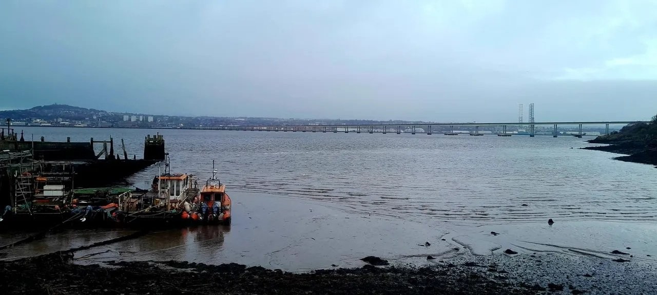
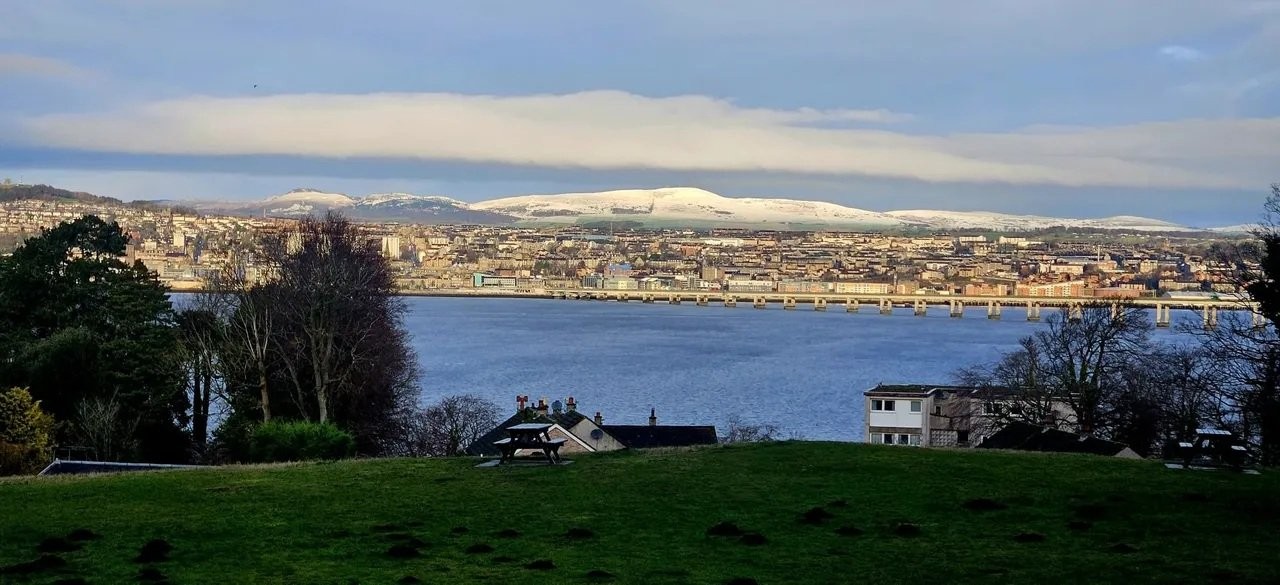
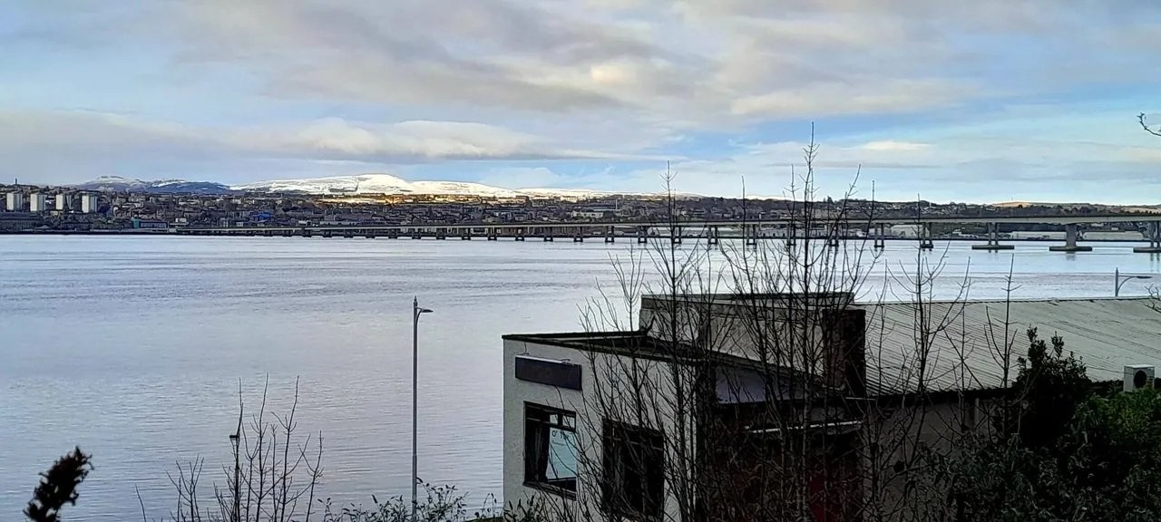
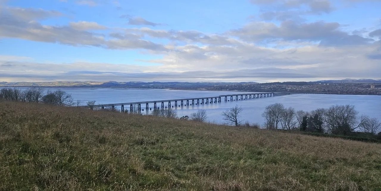
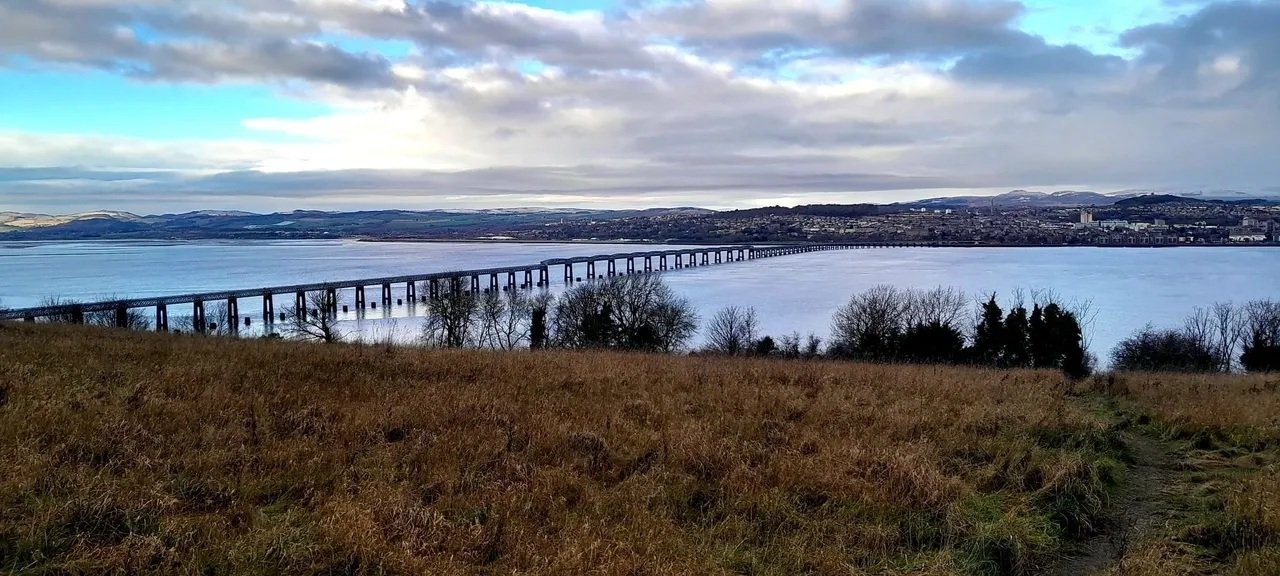
Newport Circular
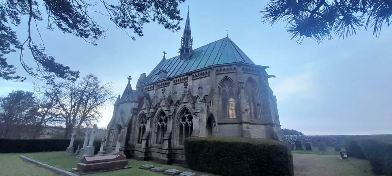
Taking in Tayfield, Wormit Hill and the Mausoleum.
The walks start in Newport near the Shoreline Restaurant and the Little Moon Chinese.
What3words : nosedive.swelling.month.
The shorter walk is 6 miles taking in Wormit, St Fort, Leng Memorial Mausoleum and Inverdovat with minimal ascent.
The longer walk is 8.5 miles with extensions including Wormit Hill.
The walks begin at 10am.
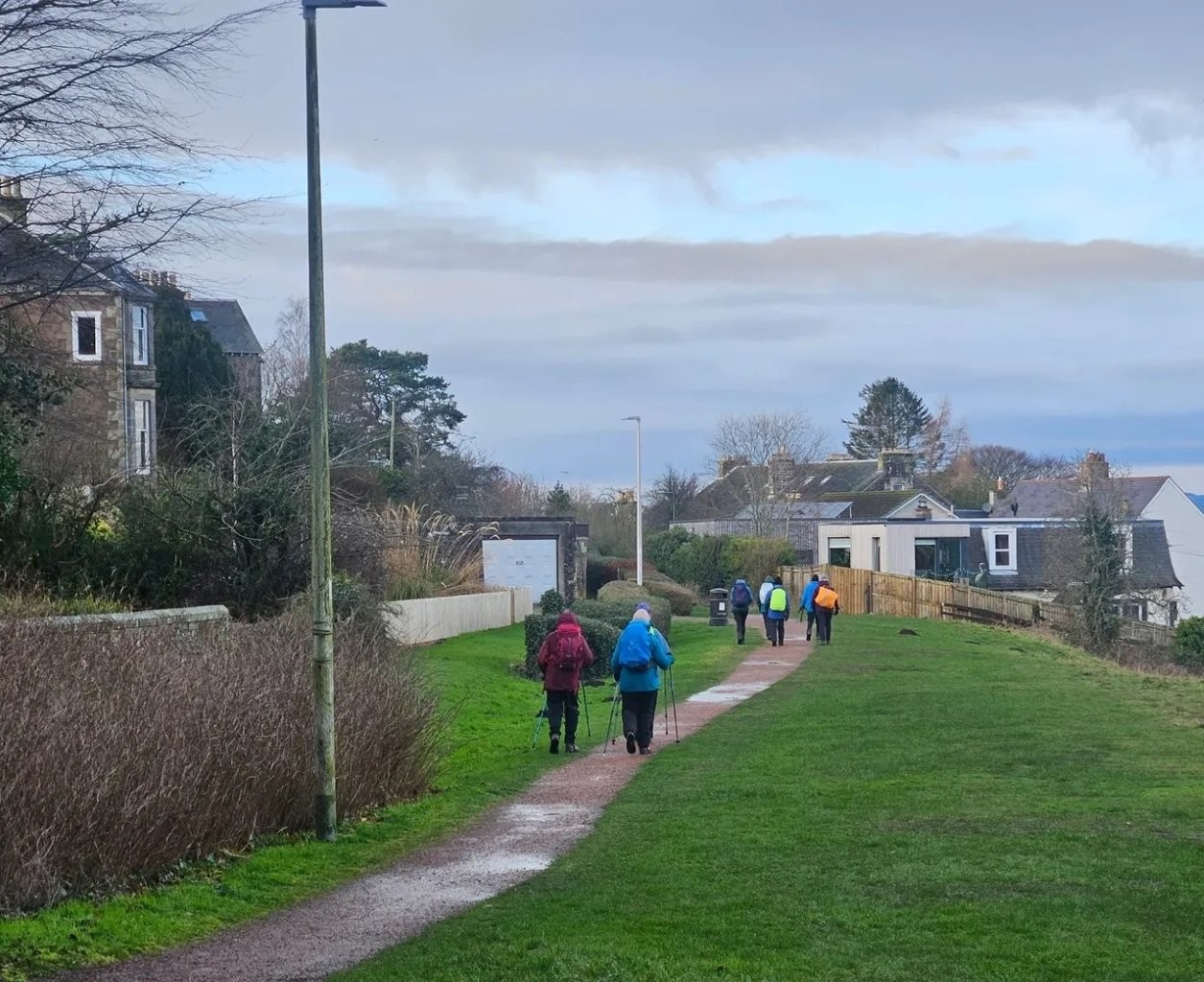
Friday 2 January 2026
Buddon Ranges
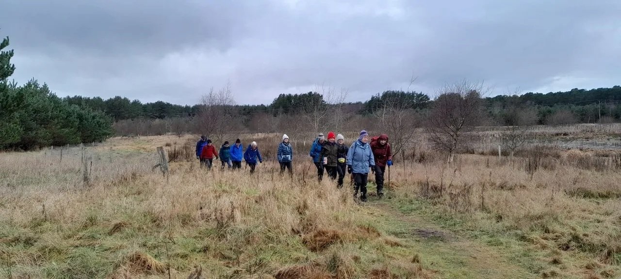
The first walk of the year is the walk across the Buddon Ranges. This will be on FRIDAY 2 Jan and will leave from the car
park between Carnoustie station and the beach at 10 am. There is a reduced bus service in operation on 2 Jan and the
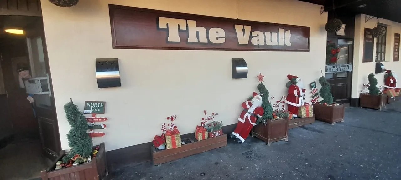
Vaults in Monifieth ( our usual refuge from this walk ) is open.
The walk will take the usual route which I will verify in the next couple of days.
The weather may take a turn colder between now and next year with a northerly air stream due to set in.
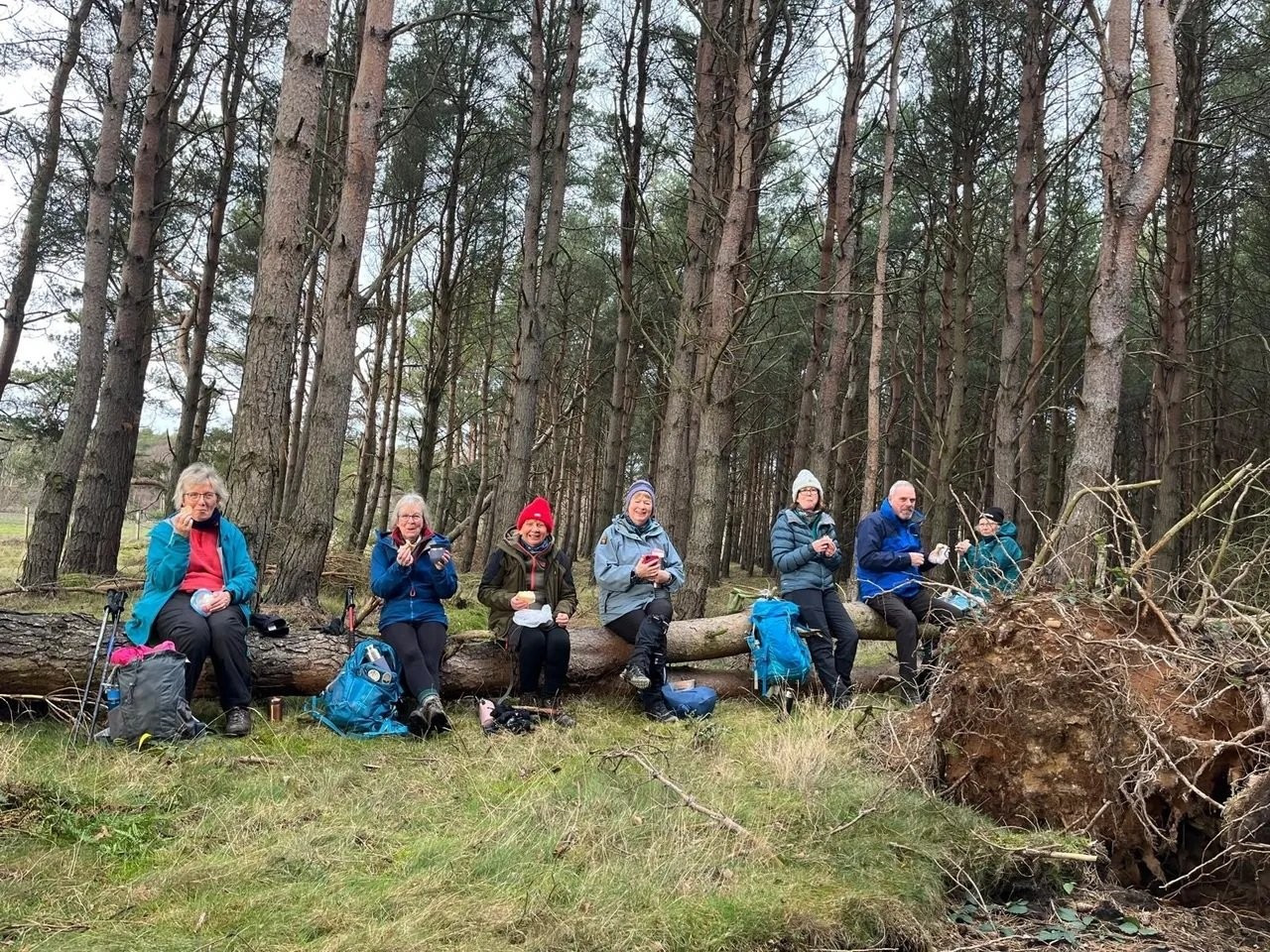
Needless to say family, friends and dogs welcome and bring a light lunch.
Update :
The walk for tomorrow was recc`d on Sunday and all was okay. The buses are running but on a reduced service.
The weather, N, NW air stream moderate wind, temp 2-3 deg. Some rain expected overnight but should clear by daylight
to give way to cloud with Sunny intervals.
Wrap up well and take a light packed lunch and a hot drink.
Approx 7 miles, no elevation, buses returning to Carnoustie at 6 mins and 36 mins past the hour.